Gransmoor in the Domesday Book (1086)
Gransmoor appears in the Domesday Book of 1086, entered under the hundred of Burton in Yorkshire. The survey assessed Gransmoor at 1 carucate of taxable land.
At the time of the survey, Gransmoor supported a recorded population of 1 smallholder, working 1 plough between them.
By 1086 Gransmoor was worth 10d, up from 5d before the Conquest – one of the few settlements in the area to hold its value through the upheaval.
Other Settlements in Burton
- Binnington
- Boythorpe
- Burton [Agnes]
- Butterwick
- Carnaby
- Fornetorp
- Ganton
- Haisthorpe
- Harpham
- Kilham
- Langtoft
- Lowthorpe
- Octon
- Rudston
The Meaning of the Name
The name Gransmoor is of Anglo-Saxon origin. Its final element derives from the Old English word mōr, moorland or marsh. The first element is most likely a personal name or an early descriptive term, now difficult to recover with certainty. Taken together the name probably meant something close to ‘a moorland’.
Remarkably, the name has changed little since 1086, when the Domesday scribes wrote it as Gransmoor.
Gransmoor Today
Today Gransmoor lies within the administrative area of Burton Agnes.
Read more about modern Gransmoor on Wikipedia .
Nearby Domesday Settlements
Other places recorded in the 1086 survey within a few miles:
- Great Kelk - 2.2 km SW
- Lissett - 2.2 km SE
- Gembling - 2.8 km SW
- Winkton - 3.0 km E
- Little Kelk - 3.0 km W
- Barmston - 3.2 km E
Heritage Around Gransmoor
Photographs of churches, listed buildings and monuments in the vicinity, contributed by volunteers to the Geograph project and reused here under a Creative Commons licence.
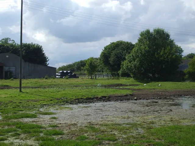
© nick macneill · Geograph · CC BY-SA 2.0
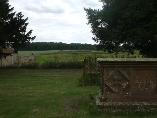
© nick macneill · Geograph · CC BY-SA 2.0
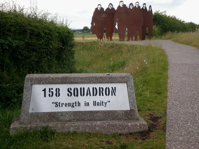
© Dr Patty McAlpin · Geograph · CC BY-SA 2.0
Images © their respective photographers, licensed under CC BY-SA 2.0 and reused here with attribution. Photographs depict listed buildings, churches and monuments near this settlement and may show neighbouring villages.
Data derived from the Open Domesday project (opendomesday.org), based on the Domesday Book dataset compiled by Professor J.J.N. Palmer and team. The Domesday Book (1086) is in the public domain.
Found an inaccuracy? [email protected]