Goosnargh in the Domesday Book (1086)
Goosnargh is named in the Domesday Book, compiled by Norman commissioners in 1086, entered under the hundred of Amounderness in Yorkshire.
At the time of the survey, Goosnargh supported a recorded population of 2 villagers, 6 slaves, working 1 plough between them.
By 1086 Goosnargh was worth 1 shilling, up from 0d before the Conquest – in contrast to many Yorkshire neighbours whose valuations collapsed.
Resources Recorded at Goosnargh (1086)
- Fisheries: 1
- Woodland: 0.5 league * 40 perches mixed measures
Other Settlements in Amounderness
- Aighton
- Aldcliffe
- Aldingham
- Arkholme
- Aschebi
- Ashton [Hall]
- Ashton [on Ribble]
- Austwick
- Barbon
- Bardsea
- Bare
- Barnoldswick
- Barton
- Beetham
The Meaning of the Name
The origin of the name Goosnargh is not securely established from its modern form alone; like many settlement names in the North it likely combines an Old English or Old Norse personal name with a landscape term.
Remarkably, the name has changed little since 1086, when the Domesday scribes wrote it as Goosnargh.
Listed Buildings Near Goosnargh
Historic England records 13 listed buildings within about a mile of Goosnargh. Listing protects structures of special architectural or historic interest, graded I (exceptional), II* (particularly important) and II.
Grade II*
- Bushells Hospital - 0.57 km
- Church of St Mary - 0.57 km
Grade II
- Bushells Arms - 0.48 km
- Goosnargh (Oliverson’s) Ce School - 0.49 km
- The Grapes Inn - 0.5 km
- Boundary Wall on West and South Sides of Grounds of Bushell’s Hospital, Including 3 Sets of Gate Piers and Gates - 0.55 km
- Obelisk in Garden Circ 20 Metres West of Bushell’s Hospital - 0.55 km
- Sundial Circa 10 Metres South of Church of St Mary - 0.56 km
- Base of Preaching Cross Circa 7 Metres South of Chancel of Church of St Mary - 0.58 km
- Chingle Old Hall (With Bridge Over Moat) - 0.67 km
- Building Immediately North West of North West Corner of Church House Farmhouse - 0.73 km
- Whittingham Hall - 0.75 km
- Church of St John in Grounds of Whittingham Hospital - 1.09 km
Scheduled Monuments Near Goosnargh
Scheduled monuments are nationally important archaeological sites given legal protection. 1 lies within roughly a mile of Goosnargh:
- Chingle Hall moated site - 0.67 km
Goosnargh Today
Today Goosnargh lies within the administrative area of Whittingham, and the settlement recorded a population of 1,072 at recent figures. Nine and a half centuries separate that figure from the small rural community the Domesday survey recorded here in 1086.
Read more about modern Goosnargh on Wikipedia .
Nearby Domesday Settlements
Other places recorded in the 1086 survey within a few miles:
- Whittingham Hall - 1.0 km W
- Haighton Hall - 2.2 km SE
- Threlfall’s Farm - 2.2 km SW
- Grimsargh - 3.6 km SE
- Broughton - 3.6 km SW
- Newsham - 4.0 km W
Heritage Around Goosnargh
Photographs of churches, listed buildings and monuments in the vicinity, contributed by volunteers to the Geograph project and reused here under a Creative Commons licence.
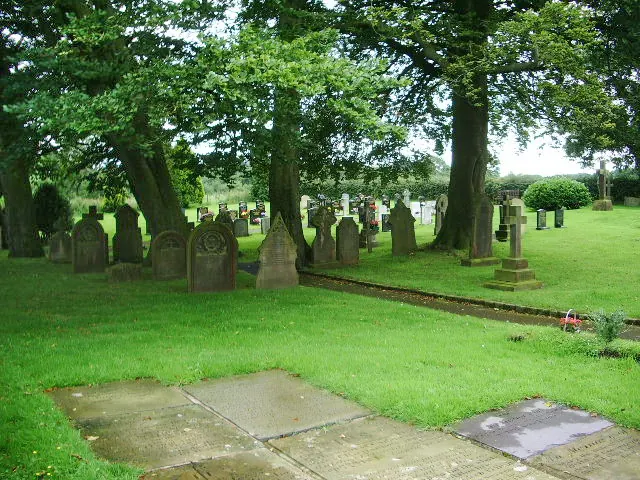
© Alexander P Kapp · Geograph · CC BY-SA 2.0
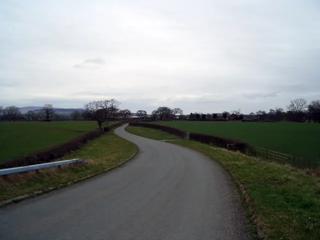
© Keith Wright · Geograph · CC BY-SA 2.0
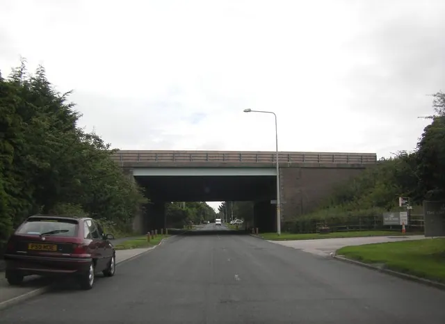
© Peter Bond · Geograph · CC BY-SA 2.0
Images © their respective photographers, licensed under CC BY-SA 2.0 and reused here with attribution. Photographs depict listed buildings, churches and monuments near this settlement and may show neighbouring villages.
Data derived from the Open Domesday project (opendomesday.org), based on the Domesday Book dataset compiled by Professor J.J.N. Palmer and team. The Domesday Book (1086) is in the public domain.
Found an inaccuracy? [email protected]