Gomersal in the Domesday Book (1086)
Gomersal appears in the Domesday Book of 1086, entered under the hundred of Morley in Yorkshire.
Other Settlements in Morley
- Allerton
- Armley
- Batley
- Beeston
- Bolton
- Bowling
- Bradford
- Bramley
- Calverley
- Carlton
- Chellow [Grange]
- Clayton
- Clifton
- Cruttonstall
The Meaning of the Name
The origin of the name Gomersal is not securely established from its modern form alone; like many settlement names in the North it likely combines an Old English or Old Norse personal name with a landscape term.
Remarkably, the name has changed little since 1086, when the Domesday scribes wrote it as Gomersal.
Listed Buildings Near Gomersal
Historic England records 28 listed buildings within about a mile of Gomersal. Listing protects structures of special architectural or historic interest, graded I (exceptional), II* (particularly important) and II.
Grade II*
- Red House - 0.27 km
- Manor House Peel House - 0.3 km
- Pollard Hall - 0.39 km
Grade II
- Gomersal Methodist Church - 0.08 km
- Sigston House - 0.17 km
- Forecourt Walls, Gatepiers and Gates to Grove Congregational Church - 0.21 km
- Gomersal Public Hall - 0.22 km
- Grove Congregational Church and Sunday School - 0.23 km
- Office Building to Ventor Works - 0.43 km
- West House - 0.47 km
- Church of St Mary - 0.56 km
- Hill Top House - 0.59 km
- Crowtrees, Including Pump in Garden at Rear - 0.73 km
- Barn to rear of nos 45 and 47, Church Lane - 0.75 km
- Lane Side House - 0.9 km
- Lands Farmhouse - 1.15 km
- 189, Quarry Road - 1.17 km
- 179, 181 and 183, Quarry Road - 1.18 km
- Moravian Church - 1.18 km
- 177, Quarry Road - 1.19 km
- Egypt - 1.2 km
- Barn to South West of Royds Farm - 1.22 km
- Moravian Sunday School - 1.23 km
- Black Bull Public House - 1.23 km
…and 4 more listed structures in the area.
Gomersal Today
Today Gomersal lies within the administrative area of Kirklees.
Read more about modern Gomersal on Wikipedia .
Nearby Domesday Settlements
Other places recorded in the 1086 survey within a few miles:
- Cleckheaton - 1.4 km SW
- Liversedge - 3.2 km S
- Drighlington - 3.6 km NE
- Tong - 4.1 km N
- North Bierley - 4.2 km NW
- Batley - 4.5 km SE
Heritage Around Gomersal
Photographs of churches, listed buildings and monuments in the vicinity, contributed by volunteers to the Geograph project and reused here under a Creative Commons licence.
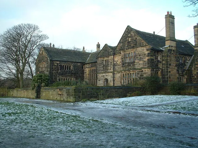
© Dr Brian Lynch · Geograph · CC BY-SA 2.0
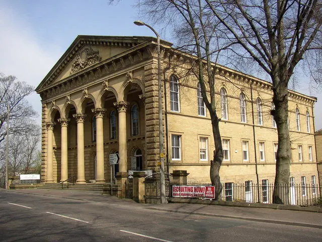
© Humphrey Bolton · Geograph · CC BY-SA 2.0
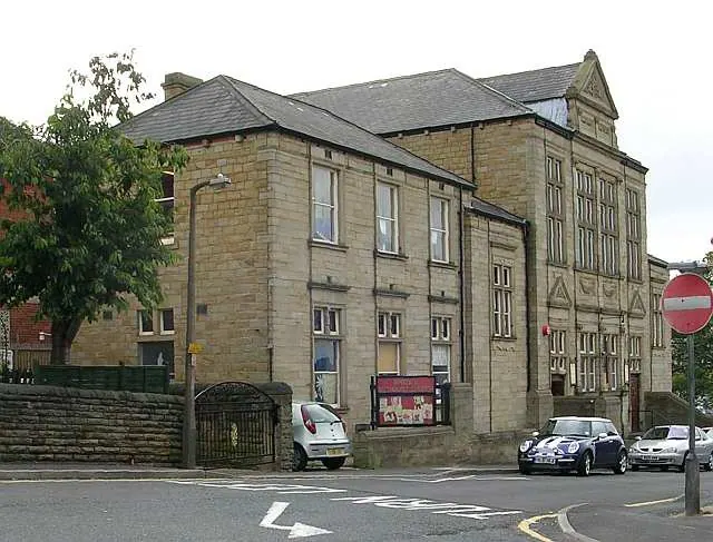
© Betty Longbottom · Geograph · CC BY-SA 2.0
Images © their respective photographers, licensed under CC BY-SA 2.0 and reused here with attribution. Photographs depict listed buildings, churches and monuments near this settlement and may show neighbouring villages.
Data derived from the Open Domesday project (opendomesday.org), based on the Domesday Book dataset compiled by Professor J.J.N. Palmer and team. The Domesday Book (1086) is in the public domain.
Found an inaccuracy? [email protected]