Goldsborough in the Domesday Book (1086)
Goldsborough is named in the Domesday Book, compiled by Norman commissioners in 1086, entered under the hundred of Langbaurgh in Yorkshire.
Other Settlements in Langbaurgh
- Acklam
- Airy [Holme]
- Aislaby
- Arnodestorp
- Baldebi
- Barnaby
- Barwick
- Battersby
- Bergolbi
- Berguluesbi
- Blaten [Carr]
- Borrowby
- Breck
- Brotton
The Meaning of the Name
The name Goldsborough is of Anglo-Saxon origin. Its final element derives from the Old English word burh, a fortified place. The first element is most likely a personal name or an early descriptive term, now difficult to recover with certainty. Taken together the name probably meant something close to ‘a stronghold’.
Remarkably, the name has changed little since 1086, when the Domesday scribes wrote it as Goldsborough.
Listed Buildings Near Goldsborough
Historic England records 17 listed buildings within about a mile of Goldsborough. Listing protects structures of special architectural or historic interest, graded I (exceptional), II* (particularly important) and II.
Grade II
- Middle Farm House - 0.11 km
- The Cottage - 0.12 km
- The Fox and Hounds Public House - 0.13 km
- High Farmhouse and Barn Adjoining - 0.14 km
- Barns to North of Middle Farm House - 0.14 km
- Cleveland House - 0.16 km
- Raw Pastures Farmhouse - 0.22 km
- Barn, Byre and Stable Buildings to West of Raw Pastures Farmhouse - 0.22 km
- Low Farmhouse - 0.23 km
- Barn, Byre and Stable Buildings to North-east of Low Farmhouse - 0.25 km
- Woodbine Cottage and Rose Cottage - 0.25 km
- Barnby House Farmhouse and Attached Barn/granary and Byre - 0.92 km
- Upton Hall and Adjoining Outbuildings - 1.03 km
- Barns, Gin-gang and Byres to North and East of Overdale Farmhouse - 1.12 km
- Overdale Farmhouse - 1.14 km
- Cliff House - 1.21 km
- Kettleness Farmhouse - 1.29 km
Scheduled Monuments Near Goldsborough
Scheduled monuments are nationally important archaeological sites given legal protection. 8 lie within roughly a mile of Goldsborough:
- Round barrow on Whinny Hill, 270m south west of High Farm - 0.31 km
- Round barrow on Cow Hill, 410m south west of Scratch Alley - 0.63 km
- Roman signal station at Goldsborough, 130m south east of Scratch Alley - 0.66 km
- Round barrow on Brockrigg, 400m east of Brockrigg Farm - 0.66 km
- Standing stone on Brockrigg known as Wade’s Stone, 420m south east of Brockrigg Farm - 0.66 km
- Round barrow and gallows site known as Butter Howe - 1.08 km
- Alum works at Kettleness - 1.48 km
- Standing stone 470m north east of High Farm, known as Wade’s Stone - 1.58 km
Goldsborough Today
Today Goldsborough lies within the administrative area of Lythe.
Read more about modern Goldsborough on Wikipedia .
Nearby Domesday Settlements
Other places recorded in the 1086 survey within a few miles:
- Lythe - 1.4 km SE
- East and West Barnby - 2.8 km SW
- Mulgrave Castle - 3.0 km S
- Mickleby - 3.6 km SW
- Dunsley - 3.6 km SE
- Ellerby - 4.0 km W
Heritage Around Goldsborough
Photographs of churches, listed buildings and monuments in the vicinity, contributed by volunteers to the Geograph project and reused here under a Creative Commons licence.
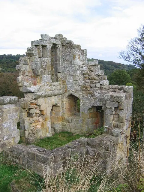
© Stephen Horncastle · Geograph · CC BY-SA 2.0
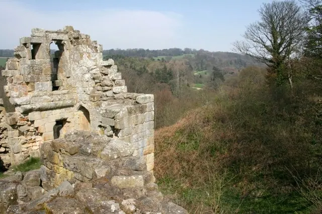
© Mick Garratt · Geograph · CC BY-SA 2.0
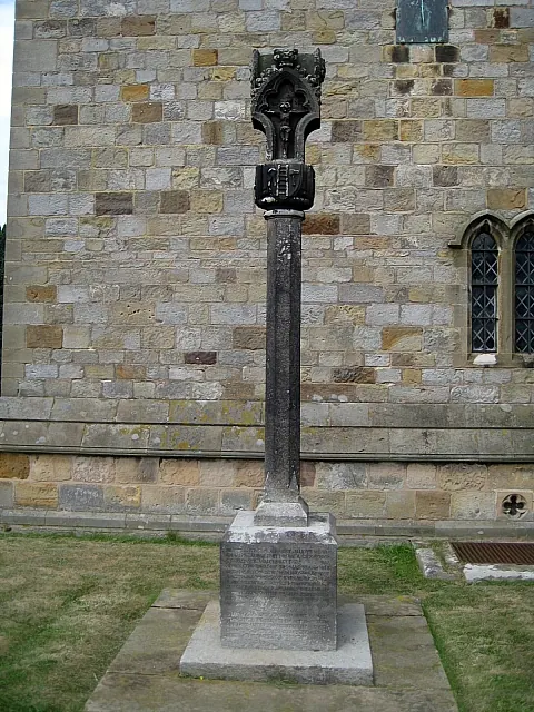
© Mike Kirby · Geograph · CC BY-SA 2.0
Images © their respective photographers, licensed under CC BY-SA 2.0 and reused here with attribution. Photographs depict listed buildings, churches and monuments near this settlement and may show neighbouring villages.
Data derived from the Open Domesday project (opendomesday.org), based on the Domesday Book dataset compiled by Professor J.J.N. Palmer and team. The Domesday Book (1086) is in the public domain.
Found an inaccuracy? [email protected]