Goldsborough in the Domesday Book (1086)
Goldsborough is named in the Domesday Book, compiled by Norman commissioners in 1086, entered under the hundred of Burghshire in Yorkshire. The survey assessed Goldsborough at 16 carucates of taxable land.
At the time of the survey, Goldsborough supported a recorded population of 48 villagers, working 20 ploughs between them.
By 1086 Goldsborough was worth 24 shillings, up from 12 shillings before the Conquest – in contrast to many Yorkshire neighbours whose valuations collapsed.
Resources Recorded at Goldsborough (1086)
- Churches: 1
- Fisheries: 1
- Meadow: 30 acres
- Woodland: 40 swine render
Other Settlements in Burghshire
- Addlethorpe
- Aismunderby
- Aldfield
- Allerton [Mauleverer]
- Arkendale
- Askwith
- Azerley
- Barrowby [Grange]
- Beckwith [House]
- Besthaim
- Bestham
- Bewerley
- Bilton
- Birstwith
The Meaning of the Name
The name Goldsborough is of Anglo-Saxon origin. Its final element derives from the Old English word burh, a fortified place. The first element is most likely a personal name or an early descriptive term, now difficult to recover with certainty. Taken together the name probably meant something close to ‘a stronghold’.
Remarkably, the name has changed little since 1086, when the Domesday scribes wrote it as Goldsborough.
Listed Buildings Near Goldsborough
Historic England records 13 listed buildings within about a mile of Goldsborough. Listing protects structures of special architectural or historic interest, graded I (exceptional), II* (particularly important) and II.
Grade I
- Church of St Mary - 0.41 km
Grade II*
- Goldsborough Hall - 0.49 km
Grade II
- Low Farmhouse - 0.26 km
- Goldsborough Hall Cottages and Stansfield Court with courtyard wall and piers - 0.43 km
- Sundial in Gardens on West Side of Goldsborough Hall - 0.5 km
- The Limes - 0.56 km
- Bay Horse Inn - 0.57 km
- Gate Piers at Village Entrance - 0.64 km
- East View Farmhouse and Flanking Walls - 0.66 km
- Barn to North of East View Farmhouse - 0.66 km
- High House - 0.67 km
- Farm Building to South of East View Farmhouse - 0.68 km
- Milepost Opposite Drive to Oakwood Farm - 1.0 km
Scheduled Monuments Near Goldsborough
Scheduled monuments are nationally important archaeological sites given legal protection. 1 lies within roughly a mile of Goldsborough:
Goldsborough Today
Today Goldsborough lies within the administrative area of North Yorkshire, and the settlement recorded a population of 476 at the 2021 census. Nine and a half centuries separate that figure from the small rural community the Domesday survey recorded here in 1086.
Read more about modern Goldsborough on Wikipedia .
Nearby Domesday Settlements
Other places recorded in the 1086 survey within a few miles:
- Flaxby - 1.4 km NE
- Knaresborough - 3.0 km W
- Great and Little Ribston - 3.0 km S
- Allerton Mauleverer - 3.2 km E
- Cadretone - 3.2 km E
- Clareton - 3.2 km N
Heritage Around Goldsborough
Photographs of churches, listed buildings and monuments in the vicinity, contributed by volunteers to the Geograph project and reused here under a Creative Commons licence.
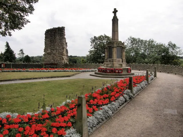
© R J McNaughton · Geograph · CC BY-SA 2.0
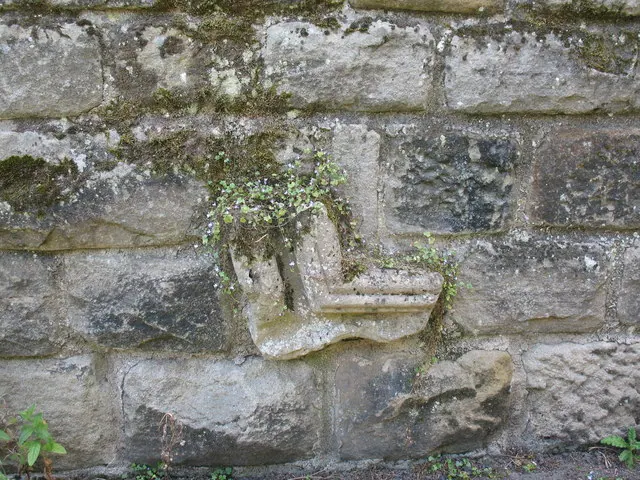
© Gordon Hatton · Geograph · CC BY-SA 2.0
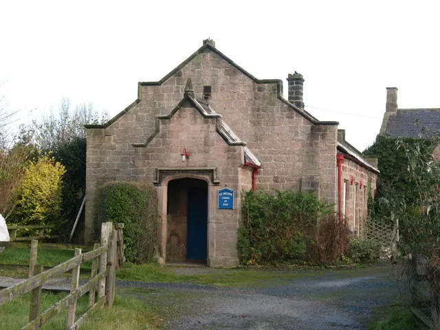
© Gordon Hatton · Geograph · CC BY-SA 2.0
Images © their respective photographers, licensed under CC BY-SA 2.0 and reused here with attribution. Photographs depict listed buildings, churches and monuments near this settlement and may show neighbouring villages.
Data derived from the Open Domesday project (opendomesday.org), based on the Domesday Book dataset compiled by Professor J.J.N. Palmer and team. The Domesday Book (1086) is in the public domain.
Found an inaccuracy? [email protected]