Golcar in the Domesday Book (1086)
The settlement of Golcar is recorded in William I’s Domesday survey of 1086, entered under the hundred of Agbrigg in Yorkshire.
Other Settlements in Agbrigg
- Ackton
- Almondbury
- Austonley
- Bradley
- Cartworth
- Crigglestone
- Crofton
- Dalton
- Emley
- Farnley [Tyas]
- Flockton
- Fulstone
- Hepworth
- Holme
The Meaning of the Name
The name Golcar is of Scandinavian origin. Its final element derives from the Old Norse word kjarr, brushwood marsh. The first element is most likely a personal name or an early descriptive term, now difficult to recover with certainty. Taken together the name probably meant something close to ‘a marsh’.
Names of this type are a fingerprint of Scandinavian settlement: they cluster across the old Danelaw, where Norse-speaking settlers renamed or founded villages from the late 9th century onward.
Remarkably, the name has changed little since 1086, when the Domesday scribes wrote it as Golcar.
Listed Buildings Near Golcar
Historic England records 153 listed buildings within about a mile of Golcar. Listing protects structures of special architectural or historic interest, graded I (exceptional), II* (particularly important) and II.
Grade II
- 71-73, Brook Lane - 0.09 km
- 9, Sharehill Road - 0.11 km
- 15, Sharehill Road - 0.11 km
- 11, Sharehill Road - 0.12 km
- 1 and 3, Share Hill Road - 0.12 km
- 54,54A,56,58, Brook Lane - 0.14 km
- 2, COPLEY BANK ROAD (See details for further address information) - 0.14 km
- 76 and 78, Lower Wellhouse Road - 0.23 km
- 17-25, Clay Well - 0.23 km
- 62-68, Upper Wellhouse Road - 0.24 km
- 70 and 72, Well House Green - 0.25 km
- Numbers 27 and 29 and Adjoining Factory Building - 0.25 km
- 3, Victoria Lane - 0.29 km
- Sharehill - 0.29 km
- 94 and 96, James Street - 0.3 km
- 65, Lowestwood Lane - 0.31 km
- 4 and 6, West End Road - 0.31 km
- 90, Handel Street - 0.31 km
- 88, Handel Street - 0.32 km
- 84 and 86, Handel Street - 0.32 km
- 50 and 52, Upper Wellhouse - 0.32 km
- 56, Upper Wellhouse - 0.33 km
- 1, Cliffe Ash - 0.33 km
- 80 and 82, Handel Street - 0.33 km
…and 129 more listed structures in the area.
Golcar Today
Today Golcar lies within the administrative area of Kirklees, and the settlement recorded a population of 6,900 at recent figures. Nine and a half centuries separate that figure from the small rural community the Domesday survey recorded here in 1086.
Read more about modern Golcar on Wikipedia .
Nearby Domesday Settlements
Other places recorded in the 1086 survey within a few miles:
- Quarmby - 2.8 km NE
- Lindley - 3.6 km NE
- South Crosland - 3.6 km SE
- Lockwood - 4.0 km E
- Old Lindley - 4.0 km N
- Stainland - 4.5 km NW
Heritage Around Golcar
Photographs of churches, listed buildings and monuments in the vicinity, contributed by volunteers to the Geograph project and reused here under a Creative Commons licence.
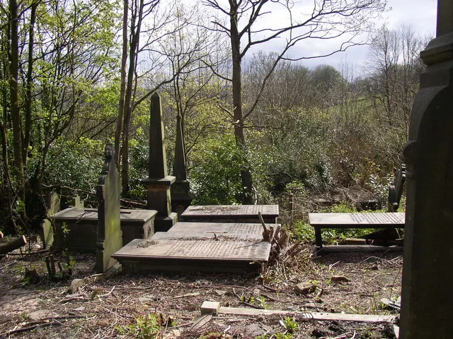
© Humphrey Bolton · Geograph · CC BY-SA 2.0
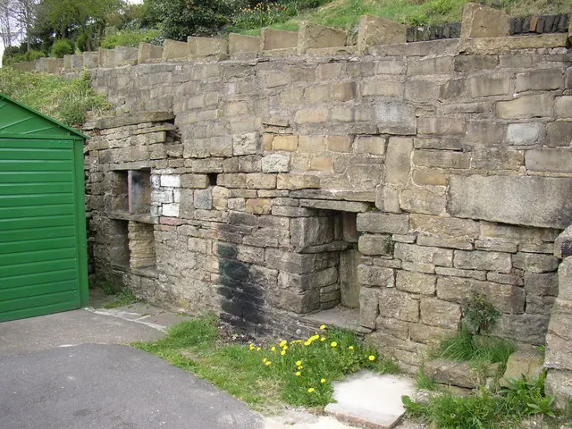
© Humphrey Bolton · Geograph · CC BY-SA 2.0
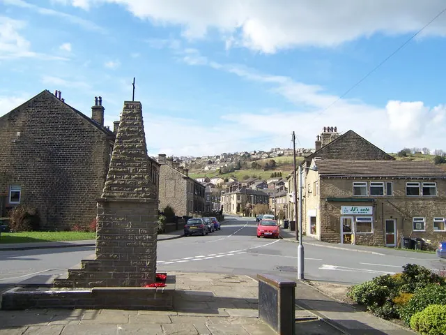
© Anthony Roy · Geograph · CC BY-SA 2.0
Images © their respective photographers, licensed under CC BY-SA 2.0 and reused here with attribution. Photographs depict listed buildings, churches and monuments near this settlement and may show neighbouring villages.
Data derived from the Open Domesday project (opendomesday.org), based on the Domesday Book dataset compiled by Professor J.J.N. Palmer and team. The Domesday Book (1086) is in the public domain.
Found an inaccuracy? [email protected]