Gisburn in the Domesday Book (1086)
The settlement of Gisburn is recorded in William I’s Domesday survey of 1086, entered under the hundred of Craven in Yorkshire. The survey assessed Gisburn at 60.8 carucates of taxable land.
At the time of the survey, Gisburn supported a recorded population of 11 villagers, 19 smallholders, 5 freemanmen, working 13 ploughs between them.
The valuation dropped between 1066 and 1086. Before 1066, Gisburn was worth 10 shillings; by 1086 that had dropped to 3 shillings – a fall of 70%. Most Yorkshire villages that lost value on this scale were swept up in the Harrying of the North – William’s scorched-earth campaign of 1069–70.
Resources Recorded at Gisburn (1086)
- Churches: 1
- Meadow: 4 acres
- Woodland: 2 leagues + 3 furlongs * 2 leagues + 3 furlongs & 9 * 9 leagues mixed measures
Other Settlements in Craven
- Addingham
- Airton
- Anley
- Appletreewick
- Arncliffe
- Arnford
- Barnoldswick
- Bashall [Eaves]
- Battersby [Barn]
- Beamsley
- Birkby [Hall]
- Bogeuurde
- Bolton [Abbey]
- Bolton [by Bowland]
The Meaning of the Name
The origin of the name Gisburn is not securely established from its modern form alone; like many settlement names in the North it likely combines an Old English or Old Norse personal name with a landscape term.
Remarkably, the name has changed little since 1086, when the Domesday scribes wrote it as Gisburn.
Listed Buildings Near Gisburn
Historic England records 23 listed buildings within about a mile of Gisburn. Listing protects structures of special architectural or historic interest, graded I (exceptional), II* (particularly important) and II.
Grade I
- Gisburne Park - 1.24 km
Grade II*
- Pair of lodges at southern entrance to Gisburne Park with six stone piers and linking railings and gates - 0.49 km
- Church of St Mary - 0.55 km
Grade II
- Pimlico House - 0.35 km
- Barn Adjoining to East of Pimlico House - 0.35 km
- Offices of Lindley Pate - 0.39 km
- 1, Park Road - 0.4 km
- The Dower House - 0.41 km
- 6 and 8, Main Street - 0.42 km
- Kirk House - 0.43 km
- Former Ribblesdale Arms Hotel - 0.43 km
- The White Bull Public House - 0.46 km
- Snow Hill House and Snow Hill Studio - 0.47 km
- Tunnel Entrance Approximately 70 Metres East of Mill Lane in Gisburne Park - 0.49 km
- The Grove - 0.59 km
- Tunnel Entrance Approximately 180 Metres West of A682 in Gisburne Park - 0.59 km
- The Priory - 0.6 km
- Milestone at Sd 82794753 - 0.97 km
- Mill Bridge Cottage, Gisburne Park - 1.17 km
- Keepers Cottages - 1.18 km
- Poultry House Bridge - 1.21 km
- Gisburn Bridge - 1.22 km
- Dog Kennels by River Ribble, Approximately 90 Metres North East of Gisburn Bridge, Gisburne Park - 1.22 km
Gisburn Today
Today Gisburn lies within the administrative area of Ribble Valley, and the settlement recorded a population of 569 at the 2021 census. Nine and a half centuries separate that figure from the small rural community the Domesday survey recorded here in 1086.
Read more about modern Gisburn on Wikipedia .
Nearby Domesday Settlements
Other places recorded in the 1086 survey within a few miles:
- Ellenthorpe - 1.4 km NW
- Raygill Moss - 2.2 km NW
- Painley - 2.8 km NE
- Paythorne - 3.0 km N
- Newsholme - 3.2 km N
- Stratesergum - 3.2 km S
Heritage Around Gisburn
Photographs of churches, listed buildings and monuments in the vicinity, contributed by volunteers to the Geograph project and reused here under a Creative Commons licence.
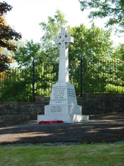
© Alexander P Kapp · Geograph · CC BY-SA 2.0
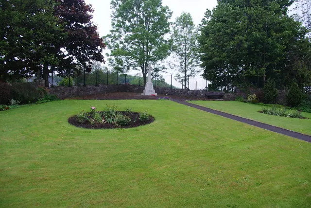
© Bill Boaden · Geograph · CC BY-SA 2.0
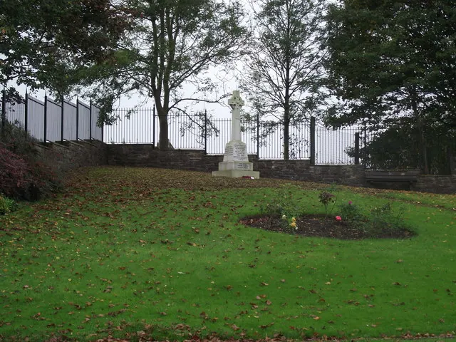
© philandju · Geograph · CC BY-SA 2.0
Images © their respective photographers, licensed under CC BY-SA 2.0 and reused here with attribution. Photographs depict listed buildings, churches and monuments near this settlement and may show neighbouring villages.
Data derived from the Open Domesday project (opendomesday.org), based on the Domesday Book dataset compiled by Professor J.J.N. Palmer and team. The Domesday Book (1086) is in the public domain.
Found an inaccuracy? [email protected]