Gipton in the Domesday Book (1086)
Gipton appears in the Domesday Book of 1086, entered under the hundred of Skyrack in Yorkshire.
Other Settlements in Skyrack
- Adel
- Allerton [Bywater]
- Alwoodley
- Arthington
- Austhorpe
- Baildon
- Bardsey
- Barwick [in Elmet]
- Bichertun
- Bicherun
- Bingley
- Birkby [Hill]
- Bramhope
- Burden [Head]
The Meaning of the Name
The name Gipton is of Anglo-Saxon origin. Its final element derives from the Old English word tūn, a farmstead or village. The first element is most likely a personal name or an early descriptive term, now difficult to recover with certainty. Taken together the name probably meant something close to ‘a farmstead’.
Remarkably, the name has changed little since 1086, when the Domesday scribes wrote it as Gipton.
Listed Buildings Near Gipton
Historic England records 77 listed buildings within about a mile of Gipton. Listing protects structures of special architectural or historic interest, graded I (exceptional), II* (particularly important) and II.
Grade II
- 70 and 72, Potternewton Lane - 0.18 km
- Glan Nua - 0.18 km
- 80, 82 and 84, Potternewton Lane - 0.19 km
- 90 and 92, Potternewton Lane - 0.22 km
- Church of St Martin - 0.28 km
- War Memorial 1 Metre South of Church of St Martin - 0.29 km
- St Martins Institute - 0.3 km
- Former lodge to Newton Hall with gate piers and flanking wall - 0.32 km
- Gateway and boundary wall south-west of Mansion House (Former Gledhow Grove) - 0.36 km
- Chapel Allerton Primary School - 0.37 km
- Railings and Gate Piers at Chapel Allerton Primary School - 0.38 km
- Tomb of John Hives in the Old Graveyard at Ngr 3067 3692 - 0.45 km
- Number 80 and Attached Wall - 0.45 km
- Gateway to Chapel Allerton Old Graveyard - 0.47 km
- Group of 3 Gravestones in the Old Graveyard - 0.48 km
- Newton Terrace - 0.48 km
- Former stables and coach house to Gledhow Grove - 0.48 km
- Rose Mount - 0.49 km
- Former Gledhow Grove - 0.49 km
- War Memorial and Railings at Entrance to the Old Graveyard - 0.5 km
- Former Union Chapel and Congregational Chapel - 0.51 km
- Boundary Wall to Numbers 66, 68 and 70 (Newton Villa) - 0.53 km
- Newton Villa - 0.54 km
- 68 and 70, Hen Conner Lane - 0.56 km
…and 53 more listed structures in the area.
Gipton Today
Today Gipton lies within the administrative area of Leeds.
Read more about modern Scott Hall on Wikipedia .
Nearby Domesday Settlements
Other places recorded in the 1086 survey within a few miles:
- Chapel Allerton - 1.0 km N
- Headingley - 2.0 km W
- Leeds - 3.0 km S
- Snitertun - 3.0 km S
- Coldcotes - 3.6 km SE
- Armley - 4.2 km SW
Heritage Around Gipton
Photographs of churches, listed buildings and monuments in the vicinity, contributed by volunteers to the Geograph project and reused here under a Creative Commons licence.
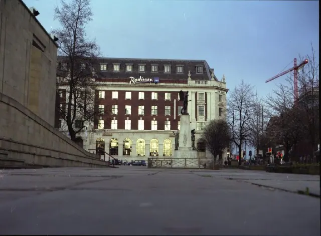
© Mike Wallis · Geograph · CC BY-SA 2.0
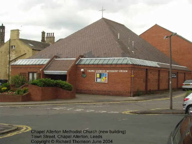
© Rich Tea · Geograph · CC BY-SA 2.0
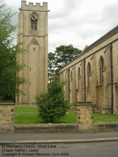
© Rich Tea · Geograph · CC BY-SA 2.0
Images © their respective photographers, licensed under CC BY-SA 2.0 and reused here with attribution. Photographs depict listed buildings, churches and monuments near this settlement and may show neighbouring villages.
Data derived from the Open Domesday project (opendomesday.org), based on the Domesday Book dataset compiled by Professor J.J.N. Palmer and team. The Domesday Book (1086) is in the public domain.
Found an inaccuracy? [email protected]