Gilling in the Domesday Book (1086)
Gilling is named in the Domesday Book, compiled by Norman commissioners in 1086, entered under the hundred of Land of Count Alan in Yorkshire. The survey assessed Gilling at 6.8 carucates of taxable land.
At the time of the survey, Gilling supported a recorded population of 2 villagers, 19 smallholders, 63 freemanmen, working 12 ploughs between them.
By 1086 Gilling was worth 5.45 shillings, up from 2.71 shillings before the Conquest – in contrast to many Yorkshire neighbours whose valuations collapsed.
The survey lists 6 manors at Gilling under different lords. Splitting a single settlement between multiple tenants was common across the North – Saxon estates broken up and handed to William’s followers after 1066.
Resources Recorded at Gilling (1086)
- Salthouses: 2
- Meadow: 8 acres
Other Settlements in Land of Count Alan
- Achebi
- Agglethorpe
- Ainderby [Mires]
- Ainderby [Quernhow]
- Aiskew
- Aldbrough
- Allerthorpe [Hall]
- Ascam
- Ascham
- Asebi
- Aske [Hall]
- Askrigg
- Aysgarth
- Baldersby
The Meaning of the Name
The origin of the name Gilling is not securely established from its modern form alone; like many settlement names in the North it likely combines an Old English or Old Norse personal name with a landscape term.
Remarkably, the name has changed little since 1086, when the Domesday scribes wrote it as Gilling.
Listed Buildings Near Gilling
Historic England records 67 listed buildings within about a mile of Gilling. Listing protects structures of special architectural or historic interest, graded I (exceptional), II* (particularly important) and II.
Grade II
- Stable Approximately Five Metres North of Number 122 - 0.07 km
- The Old Parsonage - 0.09 km
- Former Water Point - 0.11 km
- 101 and 103, High Street - 0.13 km
- Church of England School and School House - 0.17 km
- 108, 110 and 112, High Street - 0.17 km
- 94, 98 and 102, High Street - 0.21 km
- 87, High Street - 0.21 km
- 92, High Street - 0.24 km
- 90, High Street - 0.25 km
- 88, High Street - 0.26 km
- 86, High Street - 0.27 km
- Bank View - 0.28 km
- 84, High Street - 0.28 km
- 82, High Street - 0.29 km
- 73 and 75, High Street - 0.29 km
- Bridge End Farmhouse - 0.3 km
- Bridge End Barn - 0.31 km
- Gilling Bridge Over Gilling Beck - 0.35 km
- Bridge End Cottage - 0.36 km
- Blacksmiths Forge - 0.38 km
- The Curtain - 0.41 km
- 11, Millgate - 0.46 km
- 50, 52, 54, 56, 58, High Street - 0.46 km
…and 43 more listed structures in the area.
Scheduled Monuments Near Gilling
Scheduled monuments are nationally important archaeological sites given legal protection. 2 lie within roughly a mile of Gilling:
- Section of Scots Dike linear boundary south of Kirklands Farm - 0.8 km
- Section of Scots Dike linear boundary north of Kirklands Farm - 1.3 km
Gilling Today
Today Gilling lies within the administrative area of Gilling with Hartforth and Sedbury, and the settlement recorded a population of 534 at recent figures. Nine and a half centuries separate that figure from the small rural community the Domesday survey recorded here in 1086.
Read more about modern Gilling West on Wikipedia .
Nearby Domesday Settlements
Other places recorded in the 1086 survey within a few miles:
- Hartforth - 1.4 km NW
- Didderston Grange - 2.0 km N
- Aske Hall - 2.2 km SW
- Kneeton Hall - 3.2 km E
- Melsonby - 3.2 km N
- Skeeby - 3.6 km SE
Heritage Around Gilling
Photographs of churches, listed buildings and monuments in the vicinity, contributed by volunteers to the Geograph project and reused here under a Creative Commons licence.
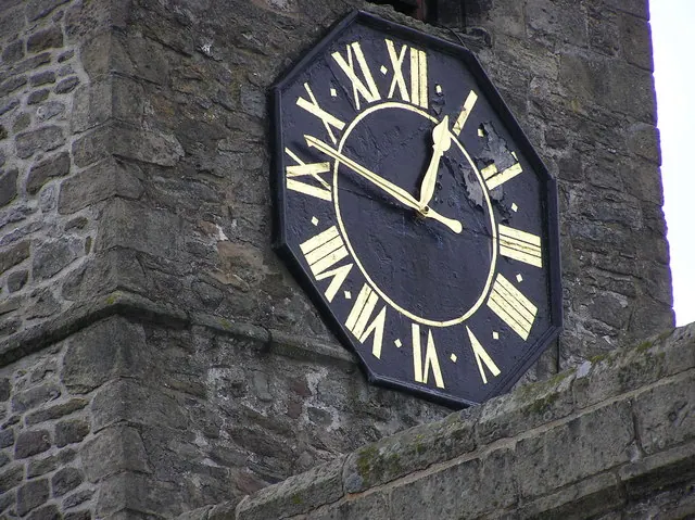
© Hugh Mortimer · Geograph · CC BY-SA 2.0
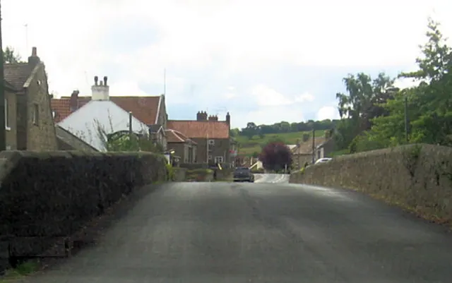
© John Firth · Geograph · CC BY-SA 2.0
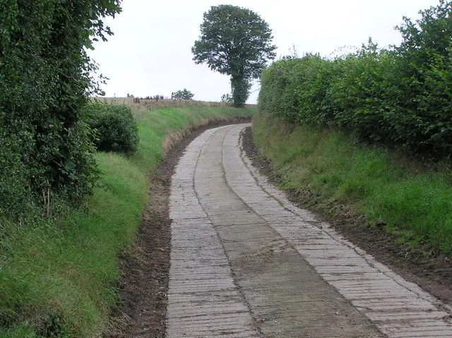
© Hugh Mortimer · Geograph · CC BY-SA 2.0
Images © their respective photographers, licensed under CC BY-SA 2.0 and reused here with attribution. Photographs depict listed buildings, churches and monuments near this settlement and may show neighbouring villages.
Location
54.4444°N, -1.7147°W · Land of Count Alan hundred, Yorkshire
View larger map on OpenStreetMap →Data derived from the Open Domesday project (opendomesday.org), based on the Domesday Book dataset compiled by Professor J.J.N. Palmer and team. The Domesday Book (1086) is in the public domain.
Found an inaccuracy? [email protected]