Gillamoor in the Domesday Book (1086)
Gillamoor is named in the Domesday Book, compiled by Norman commissioners in 1086, entered under the hundred of Maneshou in Yorkshire. The survey assessed Gillamoor at 0.8 carucates of taxable land.
At the time of the survey, Gillamoor supported a recorded population of 3 freemanmen, working 1 plough between them.
Resources Recorded at Gillamoor (1086)
- Meadow: 12 acres
Other Settlements in Maneshou
- Amotherby
- Ampleforth
- Appleton [le Street]
- Beadlam
- Brawby
- Broughton
- Cawton
- Coulton
- Fadmoor
- Fryton
- Gilling [East]
- Griff [Farm]
- Grimston
- Harome
The Meaning of the Name
The name Gillamoor is of Anglo-Saxon origin. Its final element derives from the Old English word mōr, moorland or marsh. The first element is most likely a personal name or an early descriptive term, now difficult to recover with certainty. Taken together the name probably meant something close to ‘a moorland’.
Remarkably, the name has changed little since 1086, when the Domesday scribes wrote it as Gillamoor.
Listed Buildings Near Gillamoor
Historic England records 10 listed buildings within about a mile of Gillamoor. Listing protects structures of special architectural or historic interest, graded I (exceptional), II* (particularly important) and II.
Grade II
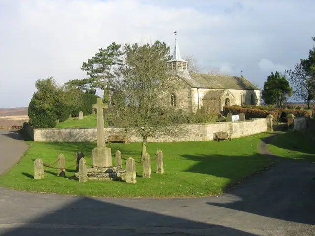
- Church of St Aidan - 0.37 km
- Lowna Bridge - 0.44 km
- Barn and Attached Mill Approximately 20 Metres South East of Lowna Farmhouse - 0.51 km
- Sundial Approximately 20 Metres South of Dial House - 0.54 km
- Outbuildings Approximately 8 Metres East of Lowna Farmhouse - 0.54 km
- Cowsheds Approximately 13 Metres East of Lowna Farmhouse - 0.54 km
- Outbuilding Approximately 30 Metres East of Lowna Farmhouse - 0.56 km
- Royal Oak - 0.62 km
- Range of Outbuildings Approximately 15 Metres East of Douthwaite - 0.81 km
- Douthwaite - 0.84 km
Scheduled Monuments Near Gillamoor
Scheduled monuments are nationally important archaeological sites given legal protection. 3 lie within roughly a mile of Gillamoor:
- Douthwaite pillow mounds - 1.0 km
- Four round barrows one 400m and three 540m east of Grouse Hall - 1.08 km
- Two round barrows, 245m and 340m north west of Barmoor Lodge - 1.35 km
Nearby Domesday Settlements
Other places recorded in the 1086 survey within a few miles:
- Fadmoor - 1.4 km SW
- Hutton le Hole - 2.0 km E
- Baschebi - 4.0 km E
- Baschesbi - 4.0 km E
- Lastingham - 4.0 km E
- Spaunton - 4.1 km E
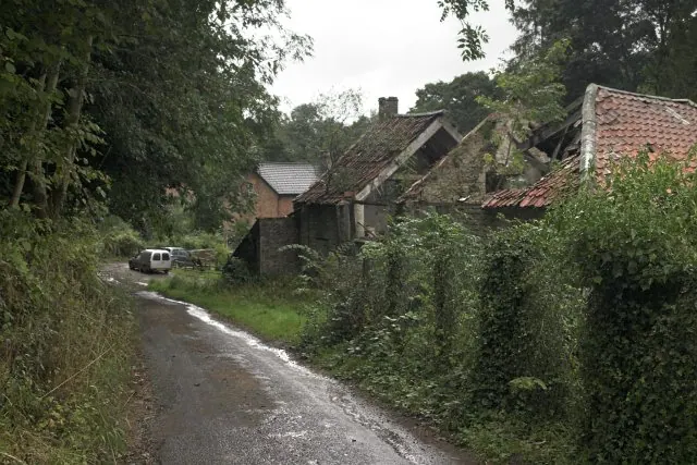
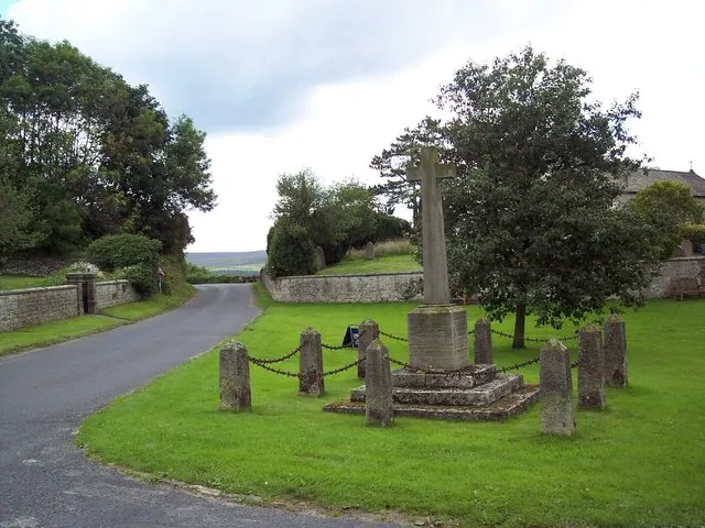
Heritage Around Gillamoor
Photographs of churches, listed buildings and monuments in the vicinity, contributed by volunteers to the Geograph project and reused here under a Creative Commons licence.
© Les Hull · Geograph · CC BY-SA 2.0
© Colin Grice · Geograph · CC BY-SA 2.0
© Maigheach-gheal · Geograph · CC BY-SA 2.0
Images © their respective photographers, licensed under CC BY-SA 2.0 and reused here with attribution. Photographs depict listed buildings, churches and monuments near this settlement and may show neighbouring villages.
Data derived from the Open Domesday project (opendomesday.org), based on the Domesday Book dataset compiled by Professor J.J.N. Palmer and team. The Domesday Book (1086) is in the public domain.
Found an inaccuracy? [email protected]