Giggleswick in the Domesday Book (1086)
Giggleswick appears in the Domesday Book of 1086, entered under the hundred of Craven in Yorkshire. The survey assessed Giggleswick at 3 carucates of taxable land.
The survey records Giggleswick’s value at 0d in 1086. No pre-Conquest figure survives – not unusual in the North, where records were disrupted by the Harrying and by the patchy coverage of the survey.
Other Settlements in Craven
- Addingham
- Airton
- Anley
- Appletreewick
- Arncliffe
- Arnford
- Barnoldswick
- Bashall [Eaves]
- Battersby [Barn]
- Beamsley
- Birkby [Hall]
- Bogeuurde
- Bolton [Abbey]
- Bolton [by Bowland]
The Meaning of the Name
The name Giggleswick is of Anglo-Saxon origin. Its final element derives from the Old English word wīc, a dwelling, dairy farm or trading settlement. The first element is most likely a personal name or an early descriptive term, now difficult to recover with certainty. Taken together the name probably meant something close to ‘a specialised farm’.
Remarkably, the name has changed little since 1086, when the Domesday scribes wrote it as Giggleswick.
Listed Buildings Near Giggleswick
Historic England records 119 listed buildings within about a mile of Giggleswick. Listing protects structures of special architectural or historic interest, graded I (exceptional), II* (particularly important) and II.
Grade I
- Church of St Alkelda - 0.59 km
Grade II*
- Settle Bridge - 0.39 km
- Settle Bridge - 0.39 km
- Ivy Fold - 0.63 km
Grade II
- Langcliffe Lodge, Garden Wall, Railings and Gatepier - 0.29 km
- Barrel Sykes - 0.44 km
- Settle War Memorial - 0.44 km
- Pendle View Cottages - 0.5 km
- The Harts Head - 0.5 km
- 1, Belle Hill - 0.51 km
- Sutcliffe House - 0.51 km
- Greystones - 0.52 km
- Garstang - 0.55 km
- Smithy Cottage - 0.55 km
- Cravendale - 0.56 km
- 4, 6 and 8, Church Street - 0.57 km
- Langcliffe High Mill - 0.57 km
- Market Cross - 0.58 km
- Rose Cottage - 0.58 km
- Well House - 0.59 km
- Parish Room - 0.61 km
- Bankwell - 0.63 km
- Kings Mill - 0.64 km
- Rallin Brow - 0.64 km
…and 95 more listed structures in the area.
Scheduled Monuments Near Giggleswick
Scheduled monuments are nationally important archaeological sites given legal protection. 1 lies within roughly a mile of Giggleswick:
- Giggleswick market cross - 0.58 km
Giggleswick Today
Today Giggleswick lies within the administrative area of Craven, and the settlement recorded a population of 1,254 at the 2021 census. Nine and a half centuries separate that figure from the small rural community the Domesday survey recorded here in 1086.
Read more about modern Giggleswick on Wikipedia .
Nearby Domesday Settlements
Other places recorded in the 1086 survey within a few miles:
- Langcliffe - 1.0 km E
- Stackhouse - 1.0 km N
- Settle - 1.0 km S
- Anley - 3.0 km S
- Stainforth - 3.2 km N
- Rathmell - 5.1 km S
Heritage Around Giggleswick
Photographs of churches, listed buildings and monuments in the vicinity, contributed by volunteers to the Geograph project and reused here under a Creative Commons licence.
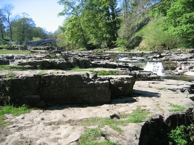
© John S Turner · Geograph · CC BY-SA 2.0
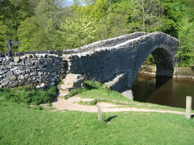
© John S Turner · Geograph · CC BY-SA 2.0
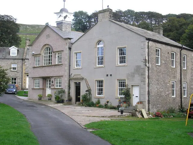
© John Illingworth · Geograph · CC BY-SA 2.0
Images © their respective photographers, licensed under CC BY-SA 2.0 and reused here with attribution. Photographs depict listed buildings, churches and monuments near this settlement and may show neighbouring villages.
Data derived from the Open Domesday project (opendomesday.org), based on the Domesday Book dataset compiled by Professor J.J.N. Palmer and team. The Domesday Book (1086) is in the public domain.
Found an inaccuracy? [email protected]