Gayton in the Domesday Book (1086)
The 1086 Domesday survey records the settlement of Gayton, entered under the hundred of Willaston in Cheshire. The survey assessed Gayton at 75.2 carucates of taxable land.
At the time of the survey, Gayton supported a recorded population of 3 villagers, 1 freeman, working 1 plough between them.
The drop in value is hard to miss. Before 1066, Gayton was worth 32 shillings; by 1086 that had dropped to 8d – a fall of 98%. Most Yorkshire villages that lost value on this scale were swept up in the Harrying of the North – William’s scorched-earth campaign of 1069–70.
1 of 2 manors within Gayton are recorded as waste in 1086, with the remainder still productive. This partial devastation suggests the settlement was caught in the path of the Harrying of the North but not entirely destroyed - or that recovery had begun in some holdings by the time of the survey.
The survey lists 2 manors at Gayton under different lords. Splitting a single settlement between multiple tenants was common across the North – Saxon estates broken up and handed to William’s followers after 1066.
Resources Recorded at Gayton (1086)
- Churches: 1
- Meadow: 8 None
Other Settlements in Willaston
- Barnston
- Blacon
- Capenhurst
- Croughton
- Eastham
- Greasby
- Hadlow
- Hargrave
- Heswall
- Hooton
- Landican
- Lea
- Ledsham
- Leighton
The Meaning of the Name
The name Gayton is of Anglo-Saxon origin. Its final element derives from the Old English word tūn, a farmstead or village. The first element is most likely a personal name or an early descriptive term, now difficult to recover with certainty. Taken together the name probably meant something close to ‘a farmstead’.
Remarkably, the name has changed little since 1086, when the Domesday scribes wrote it as Gayton.
Listed Buildings Near Gayton
Historic England records 6 listed buildings within about a mile of Gayton. Listing protects structures of special architectural or historic interest, graded I (exceptional), II* (particularly important) and II.
Grade II*
- Gayton Hall - 0.74 km
- Dove Cote to North of Gayton Hall - 0.75 km
- Church of St Peter - 0.75 km
Grade II
- The Old Farm - 0.67 km
- Sundial to West of St Peters Church - 0.73 km
- Heswall War Memorial - 1.05 km
Gayton Today
Today Gayton lies within the administrative area of Wirral, and the settlement recorded a population of 3,110 at recent figures. Nine and a half centuries separate that figure from the small rural community the Domesday survey recorded here in 1086.
Read more about modern Gayton on Wikipedia .
Nearby Domesday Settlements
Other places recorded in the 1086 survey within a few miles:
- Heswall - 2.0 km N
- Leighton - 2.2 km SE
- Barnston - 3.2 km N
- Thurstaston - 3.6 km NW
- Thornton Hough - 4.0 km E
- Thingwall - 4.1 km N
Heritage Around Gayton
Photographs of churches, listed buildings and monuments in the vicinity, contributed by volunteers to the Geograph project and reused here under a Creative Commons licence.
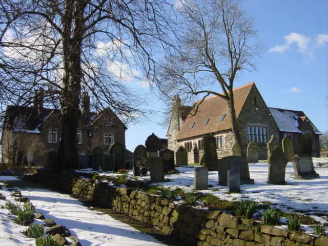
© Sue Adair · Geograph · CC BY-SA 2.0
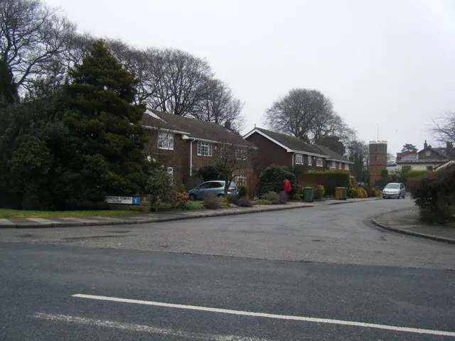
© Colin Pyle · Geograph · CC BY-SA 2.0
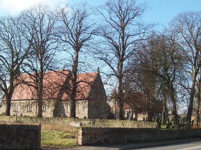
© Sue Morgan · Geograph · CC BY-SA 2.0
Images © their respective photographers, licensed under CC BY-SA 2.0 and reused here with attribution. Photographs depict listed buildings, churches and monuments near this settlement and may show neighbouring villages.
Data derived from the Open Domesday project (opendomesday.org), based on the Domesday Book dataset compiled by Professor J.J.N. Palmer and team. The Domesday Book (1086) is in the public domain.
Found an inaccuracy? [email protected]