Gate Fulford in the Domesday Book (1086)
Gate Fulford is named in the Domesday Book, compiled by Norman commissioners in 1086, entered under the hundred of York in Yorkshire.
Other Settlements in York
The Meaning of the Name
The name Gate Fulford is of Anglo-Saxon origin. Its final element derives from the Old English word ford, a river crossing. The first element is most likely a personal name or an early descriptive term, now difficult to recover with certainty. Taken together the name probably meant something close to ‘a ford’.
Remarkably, the name has changed little since 1086, when the Domesday scribes wrote it as Gate Fulford.
Listed Buildings Near Gate Fulford
Historic England records 48 listed buildings within about a mile of Gate Fulford. Listing protects structures of special architectural or historic interest, graded I (exceptional), II* (particularly important) and II.
Grade II*
- Saint Oswald’s Hall - 0.24 km
Grade II
- The Cottage - 0.2 km
- Coffin Lid Approximately 9 Metres to South of Saint Oswald’s Hall - 0.23 km
- Memorial 2 1/2 Metres to South of Saint Oswald’s Hall - 0.24 km
- 6 and 8, York Road - 0.32 km
- The Old House - 0.32 km
- 17, York Road - 0.35 km
- 19, York Road - 0.35 km
- Church of Saint Oswald - 0.35 km
- The White House, White House North and White House South - 0.36 km
- Holly House the Old Manor House - 0.41 km
- Fulford House - 0.44 km
- Delwood Croft - 0.47 km
- K6 Telephone Kiosk Next to Number 53 - 0.48 km
- 30 and 32, York Road - 0.48 km
- Ousefield - 0.52 km
- Danesmead - 0.6 km
- Terrys of York Time Office Block - 0.71 km
- Fulford Cross - 0.71 km
- Terrys of York Head Offices - 0.74 km
- Imphal Barracks the Keep - 0.74 km
- Terrys of York Factory - 0.8 km
- Liquor Factory - 0.82 km
- Terrys of York Clock Tower, Water Tower and Boiler House With Transformer House Attached - 0.84 km
…and 24 more listed structures in the area.
Scheduled Monuments Near Gate Fulford
Scheduled monuments are nationally important archaeological sites given legal protection. 1 lies within roughly a mile of Gate Fulford:
Gate Fulford Today
Today Gate Fulford lies within the administrative area of Fulford.
Nearby Domesday Settlements
Other places recorded in the 1086 survey within a few miles:
- Water Fulford - 1.0 km S
- Bithen - 1.4 km SW
- Middlethorpe - 1.4 km SW
- Heslington - 2.2 km NE
- Bishopthorpe - 2.2 km SW
- Mulede - 2.2 km SW
Heritage Around [Gate] Fulford
Photographs of churches, listed buildings and monuments in the vicinity, contributed by volunteers to the Geograph project and reused here under a Creative Commons licence.
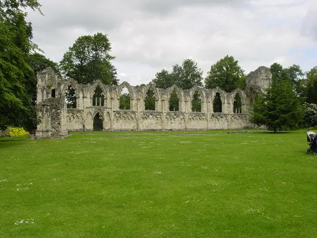
© Lyall Duffus · Geograph · CC BY-SA 2.0
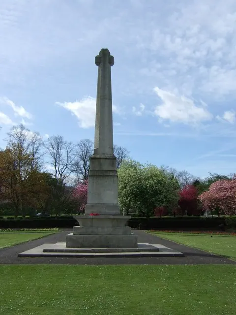
© Stanley Howe · Geograph · CC BY-SA 2.0
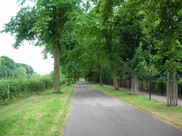
© DS Pugh · Geograph · CC BY-SA 2.0
Images © their respective photographers, licensed under CC BY-SA 2.0 and reused here with attribution. Photographs depict listed buildings, churches and monuments near this settlement and may show neighbouring villages.
Data derived from the Open Domesday project (opendomesday.org), based on the Domesday Book dataset compiled by Professor J.J.N. Palmer and team. The Domesday Book (1086) is in the public domain.
Found an inaccuracy? [email protected]