Gardham in the Domesday Book (1086)
Gardham appears in the Domesday Book of 1086, entered under the hundred of Sneculfcros in Yorkshire. The survey assessed Gardham at 1 carucate of taxable land.
At the time of the survey, Gardham supported a recorded population of 3 villagers, 14 smallholders, 2 slaves, working 9 ploughs between them.
By 1086 Gardham was worth 22 shillings, up from 17 shillings before the Conquest – one of the few settlements in the area to hold its value through the upheaval.
The survey lists 13 manors at Gardham under different lords. Splitting a single settlement between multiple tenants was common across the North – Saxon estates broken up and handed to William’s followers after 1066.
Resources Recorded at Gardham (1086)
- Mills: 2 mills (valued at 1.2 shillings)
- Meadow: 8 None
Other Settlements in Sneculfcros
- Aike
- Beswick
- Beverley
- Bracken
- Dunnington
- Etton
- Grimston
- Holme [on the Wolds]
- Ianulfestorp
- Kilnwick
- Leconfield
- Lockington
- Middleton [on the Wolds]
- Molescroft
The Meaning of the Name
The name Gardham is of Anglo-Saxon origin. Its final element derives from the Old English word hām, a homestead or village. The first element is most likely a personal name or an early descriptive term, now difficult to recover with certainty. Taken together the name probably meant something close to ‘a homestead’.
Remarkably, the name has changed little since 1086, when the Domesday scribes wrote it as Gardham.
Gardham Today
Today Gardham lies within the administrative area of Cherry Burton.
Read more about modern Gardham on Wikipedia .
Nearby Domesday Settlements
Other places recorded in the 1086 survey within a few miles:
- Etton - 3.2 km E
- Steintorp - 3.2 km E
- Steitorp - 3.2 km E
- Torp - 3.2 km E
- South Dalton - 3.2 km N
- Cherry Burton - 4.1 km E
Heritage Around Gardham
Photographs of churches, listed buildings and monuments in the vicinity, contributed by volunteers to the Geograph project and reused here under a Creative Commons licence.
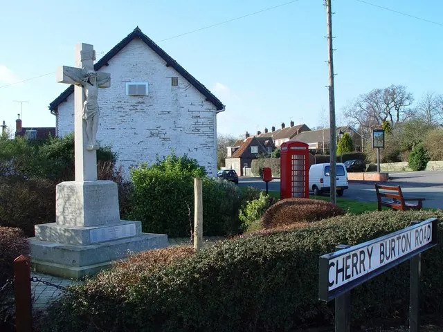
© Peter Church · Geograph · CC BY-SA 2.0
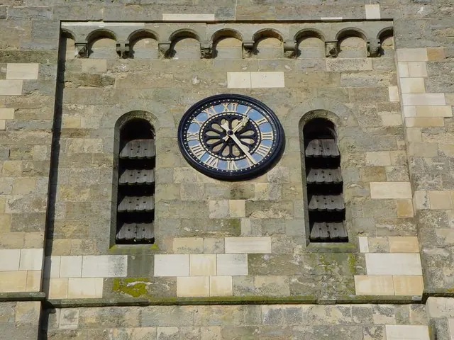
© Peter Church · Geograph · CC BY-SA 2.0
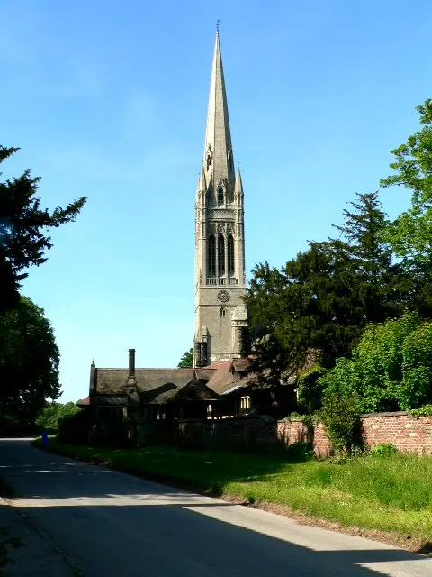
© Roger Gilbertson · Geograph · CC BY-SA 2.0
Images © their respective photographers, licensed under CC BY-SA 2.0 and reused here with attribution. Photographs depict listed buildings, churches and monuments near this settlement and may show neighbouring villages.
Data derived from the Open Domesday project (opendomesday.org), based on the Domesday Book dataset compiled by Professor J.J.N. Palmer and team. The Domesday Book (1086) is in the public domain.
Found an inaccuracy? [email protected]