Fyling Thorpe in the Domesday Book (1086)
Fyling Thorpe is named in the Domesday Book, compiled by Norman commissioners in 1086, entered under the hundred of Langbaurgh in Yorkshire.
Other Settlements in Langbaurgh
- Acklam
- Airy [Holme]
- Aislaby
- Arnodestorp
- Baldebi
- Barnaby
- Barwick
- Battersby
- Bergolbi
- Berguluesbi
- Blaten [Carr]
- Borrowby
- Breck
- Brotton
The Meaning of the Name
The origin of the name Fyling Thorpe is not securely established from its modern form alone; like many settlement names in the North it likely combines an Old English or Old Norse personal name with a landscape term.
Remarkably, the name has changed little since 1086, when the Domesday scribes wrote it as Fyling Thorpe.
Listed Buildings Near Fyling Thorpe
Historic England records 204 listed buildings within about a mile of Fyling Thorpe. Listing protects structures of special architectural or historic interest, graded I (exceptional), II* (particularly important) and II.
Grade I
- Church of St Stephen - 0.64 km
Grade II*
- Church of St Stephen - 0.32 km
- Thorpe Hall - 0.59 km
Grade II
- War Memorial to South of Church of St Stephen - 0.32 km
- Gateway to South of Church of St Stephen - 0.32 km
- Hooks House - 0.34 km
- Outbuilding Range to East of Hooks House - 0.35 km
- St Stephen’s Vicarage - 0.4 km
- Conservatory to south- west of Jays House - 0.45 km
- Jays House and Attached Outbuildings - 0.46 km
- Garden Walls in Front of the Bay Tree - 0.53 km
- Inthorpe and Forecourt Wall - 0.53 km
- The Bay Tree - 0.54 km
- Oak Tree House and Oak Dene - 0.56 km
- Rose Cottage - 0.67 km
- Bay Bank House the Cellar - 0.7 km
- Rosslyn House and the Little Shop - 0.71 km
- The Old School House - 0.72 km
- Sea View Cottage - 0.72 km
- Blacksmith’s Cottage - 0.73 km
- 2-11, Esplanade - 0.73 km
- Holme Dale and Sunny Vale - 0.73 km
- Cottage Opposite Sunny Vale - 0.73 km
- Cockpit Cottage and Arts, Crafts and Books house adjoining - 0.74 km
…and 180 more listed structures in the area.
Fyling Thorpe Today
Today Fyling Thorpe lies within the administrative area of Fylingdales.
Read more about modern Fylingthorpe on Wikipedia .
Nearby Domesday Settlements
Other places recorded in the 1086 survey within a few miles:
- Normanby - 2.2 km NW
- Fyling Old Hall - 3.0 km S
- Gnipe Howe - 3.2 km N
- Sneaton - 5.4 km NW
- Baldebi - 7.2 km NW
- Breck - 7.2 km NW
Heritage Around [Fyling] Thorpe
Photographs of churches, listed buildings and monuments in the vicinity, contributed by volunteers to the Geograph project and reused here under a Creative Commons licence.
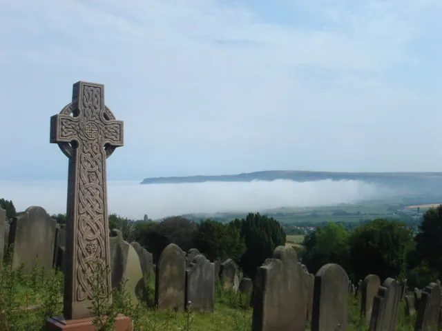
© Margaret Clough · Geograph · CC BY-SA 2.0
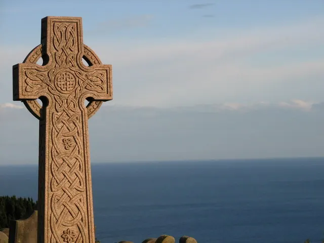
© P A Woodward · Geograph · CC BY-SA 2.0
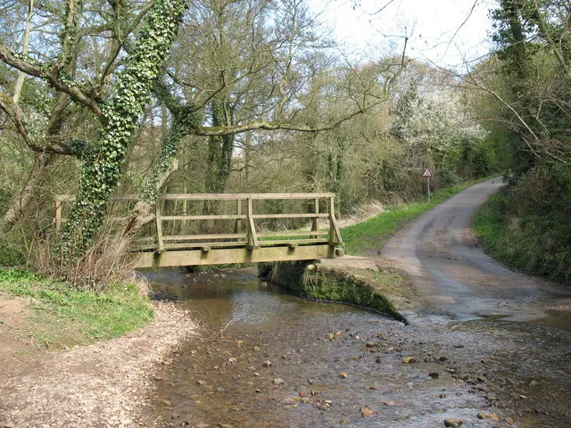
© Gordon Hatton · Geograph · CC BY-SA 2.0
Images © their respective photographers, licensed under CC BY-SA 2.0 and reused here with attribution. Photographs depict listed buildings, churches and monuments near this settlement and may show neighbouring villages.
Data derived from the Open Domesday project (opendomesday.org), based on the Domesday Book dataset compiled by Professor J.J.N. Palmer and team. The Domesday Book (1086) is in the public domain.
Found an inaccuracy? [email protected]