Fyling Old Hall in the Domesday Book (1086)
Fyling Old Hall appears in the Domesday Book of 1086, entered under the hundred of Langbaurgh in Yorkshire. The survey assessed Fyling Old Hall at 5 carucates of taxable land.
At the time of the survey, Fyling Old Hall supported a recorded population of 3 villagers, working 2 ploughs between them.
By 1086 Fyling Old Hall was worth 19d, up from 11d before the Conquest – one of the few settlements in the area to hold its value through the upheaval.
Resources Recorded at Fyling Old Hall (1086)
- Woodland: 1 leagues
Other Settlements in Langbaurgh
- Acklam
- Airy [Holme]
- Aislaby
- Arnodestorp
- Baldebi
- Barnaby
- Barwick
- Battersby
- Bergolbi
- Berguluesbi
- Blaten [Carr]
- Borrowby
- Breck
- Brotton
The Meaning of the Name
The origin of the name Fyling Old Hall is not securely established from its modern form alone; like many settlement names in the North it likely combines an Old English or Old Norse personal name with a landscape term.
Remarkably, the name has changed little since 1086, when the Domesday scribes wrote it as Fyling Old Hall.
Listed Buildings Near Fyling Old Hall
Historic England records 8 listed buildings within about a mile of Fyling Old Hall. Listing protects structures of special architectural or historic interest, graded I (exceptional), II* (particularly important) and II.
Grade II
- Fyling Old Hall and Garden Walls to East - 0.41 km
- Browside Farmhouse and attached outbuilding - 0.74 km
- Boggle House - 0.77 km
- Ladysmith Farmhouse and Attached Outbuildings - 0.78 km
- Garden Walls to South of Ladysmith Farmhouse - 0.79 km
- Colcroft - 0.87 km
- Demesne Farmhouse and attached farmbuildings and garden walls - 0.97 km
- Fulmar Cottage - 1.02 km
Scheduled Monuments Near Fyling Old Hall
Scheduled monuments are nationally important archaeological sites given legal protection. 15 lie within roughly a mile of Fyling Old Hall:
- Round barrow 580m north east of Howdale Farm - 1.07 km
- Round barrow 650m north east of Howdale Farm - 1.17 km
- Round barrow 720m north east of Cook House - 1.35 km
- Round barrow 500m south of Howdale Farm - 1.36 km
- Round barrow 510m north east of Cook House - 1.37 km
- Fyling medieval deer park wall section - 1.39 km
- Two round barrows 560m north east of Cook House - 1.41 km
- Two round barrows, 720m west of Stoupe Brow Farm - 1.41 km
- Ring cairn 660m north east of Cook House - 1.43 km
- Round barrow 370m north east of Cook House - 1.44 km
…and 5 more.
Nearby Domesday Settlements
Other places recorded in the 1086 survey within a few miles:
- Fyling Thorpe - 3.0 km N
- Normanby - 4.5 km NW
- Gnipe Howe - 6.1 km N
- Staintondale - 6.4 km SE
- Sneaton - 7.1 km NW
- Thirley Cotes - 7.6 km S
Heritage Around Fyling [Old Hall]
Photographs of churches, listed buildings and monuments in the vicinity, contributed by volunteers to the Geograph project and reused here under a Creative Commons licence.
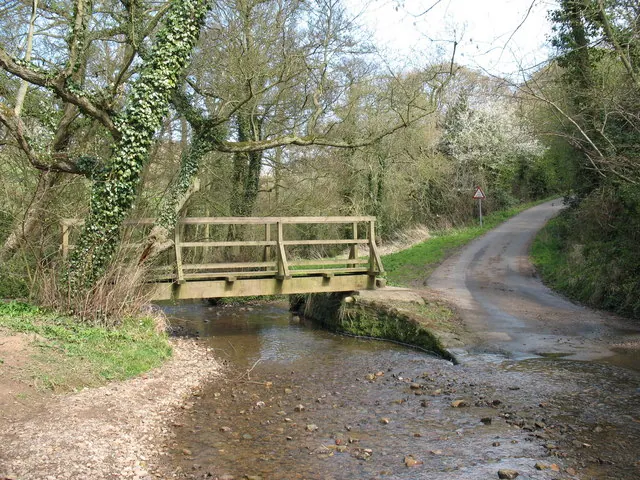
© Gordon Hatton · Geograph · CC BY-SA 2.0
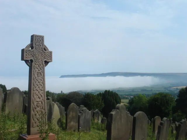
© Margaret Clough · Geograph · CC BY-SA 2.0
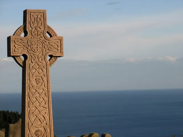
© P A Woodward · Geograph · CC BY-SA 2.0
Images © their respective photographers, licensed under CC BY-SA 2.0 and reused here with attribution. Photographs depict listed buildings, churches and monuments near this settlement and may show neighbouring villages.
Data derived from the Open Domesday project (opendomesday.org), based on the Domesday Book dataset compiled by Professor J.J.N. Palmer and team. The Domesday Book (1086) is in the public domain.
Found an inaccuracy? [email protected]