Fulstone in the Domesday Book (1086)
The settlement of Fulstone is recorded in William I’s Domesday survey of 1086, entered under the hundred of Agbrigg in Yorkshire.
Other Settlements in Agbrigg
- Ackton
- Almondbury
- Austonley
- Bradley
- Cartworth
- Crigglestone
- Crofton
- Dalton
- Emley
- Farnley [Tyas]
- Flockton
- Golcar
- Hepworth
- Holme
The Meaning of the Name
The origin of the name Fulstone is not securely established from its modern form alone; like many settlement names in the North it likely combines an Old English or Old Norse personal name with a landscape term.
Remarkably, the name has changed little since 1086, when the Domesday scribes wrote it as Fulstone.
Listed Buildings Near Fulstone
Historic England records 16 listed buildings within about a mile of Fulstone. Listing protects structures of special architectural or historic interest, graded I (exceptional), II* (particularly important) and II.
Grade II
- Barn to North West of Moor View Farmhouse - 0.09 km
- Moor View Farmhouse - 0.1 km
- West Royd Farmhouse - 0.17 km
- 12, White Ley Bank - 0.18 km
- The Cottages - 0.83 km
- Barn Adjoining Brianfield Farmhouse - 0.83 km
- Horn Cote - 0.93 km
- 3 Miles Post Opposite Toss O’coin Public House - 0.97 km
- Ward Boundary Post Opposite Marsh Lane Top - 0.99 km
- Ward Boundary Post at Junction of Marsh Lane - 1.01 km
- 1 and 2 Hollin House - 1.21 km
- 50, Penistone Road - 1.23 km
- Christ Church - 1.25 km
- Gate Piers and Gates to Christ Church - 1.27 km
- Old Guide Post at Junction With Ing Head Lane - 1.28 km
- 26,28, Sude Hill - 1.3 km
Fulstone Today
Today Fulstone lies within the administrative area of Holme Valley.
Read more about modern Fulstone on Wikipedia .
Nearby Domesday Settlements
Other places recorded in the 1086 survey within a few miles:
- Thurstonland - 1.4 km NW
- Shepley - 2.0 km E
- Wooldale - 2.2 km SW
- Hepworth - 3.2 km S
- Farnley Tyas - 3.2 km N
- Shelley - 3.6 km NE
Heritage Around Fulstone
Photographs of churches, listed buildings and monuments in the vicinity, contributed by volunteers to the Geograph project and reused here under a Creative Commons licence.
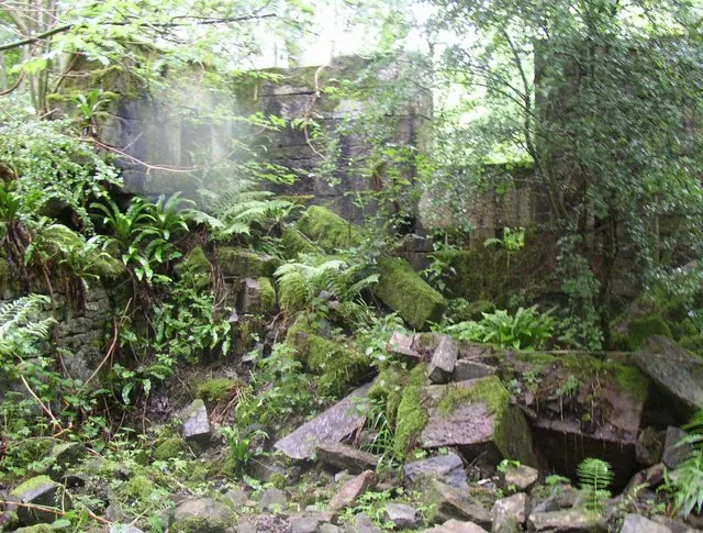
© Humphrey Bolton · Geograph · CC BY-SA 2.0
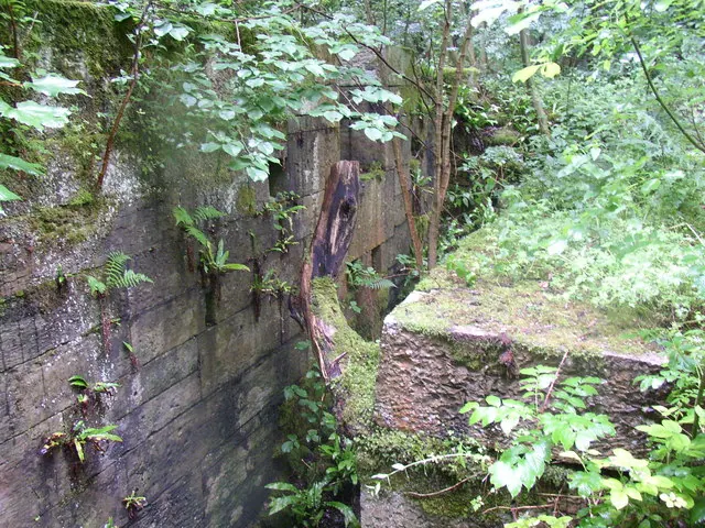
© Humphrey Bolton · Geograph · CC BY-SA 2.0
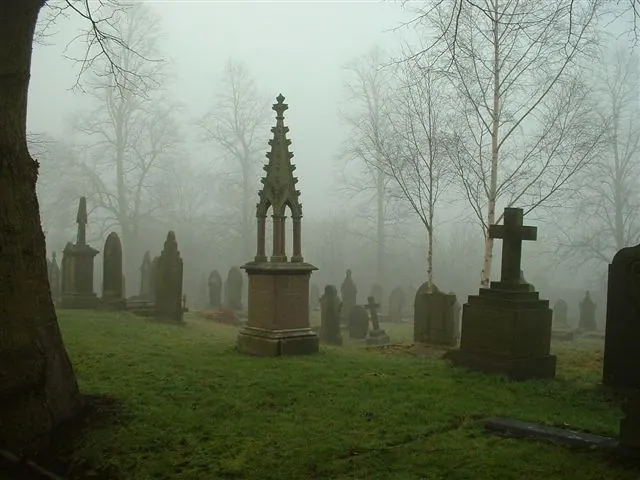
© steve taylor · Geograph · CC BY-SA 2.0
Images © their respective photographers, licensed under CC BY-SA 2.0 and reused here with attribution. Photographs depict listed buildings, churches and monuments near this settlement and may show neighbouring villages.
Data derived from the Open Domesday project (opendomesday.org), based on the Domesday Book dataset compiled by Professor J.J.N. Palmer and team. The Domesday Book (1086) is in the public domain.
Found an inaccuracy? [email protected]