Fryton in the Domesday Book (1086)
Fryton appears in the Domesday Book of 1086, entered under the hundred of Maneshou in Yorkshire.
Other Settlements in Maneshou
- Amotherby
- Ampleforth
- Appleton [le Street]
- Beadlam
- Brawby
- Broughton
- Cawton
- Coulton
- Fadmoor
- Gillamoor
- Gilling [East]
- Griff [Farm]
- Grimston
- Harome
The Meaning of the Name
The name Fryton is of Anglo-Saxon origin. Its final element derives from the Old English word tūn, a farmstead or village. The first element is most likely a personal name or an early descriptive term, now difficult to recover with certainty. Taken together the name probably meant something close to ‘a farmstead’.
Remarkably, the name has changed little since 1086, when the Domesday scribes wrote it as Fryton.
Listed Buildings Near Fryton
Historic England records 23 listed buildings within about a mile of Fryton. Listing protects structures of special architectural or historic interest, graded I (exceptional), II* (particularly important) and II.
Grade II*
- Church of All Saints, Slingsby - 1.18 km
Grade II
- Barns to North Farm - 0.48 km
- Cherrygarth Farmhouse - 0.5 km
- West Farmhouse - 0.51 km
- Ruins of Slingsby Castle - 1.17 km
- The Old Rectory - 1.17 km
- Tomb Chest Commemorating Members of the Markinfield Family Approximately 3 Metres to South of Porch of All Saints Church - 1.18 km
- House Immediately South of Goodlands - 1.21 km
- Brick Kiln at Brickyard Farm - 1.21 km
- The Cottage and 3 Houses Adjoining to North - 1.22 km
- Grange House - 1.23 km
- Ivy Cottage and Castle House - 1.24 km
- Rose Cottage and Laurel Cottage - 1.24 km
- Home Farmhouse - 1.24 km
- The Grapes - 1.25 km
- Bransdale - 1.27 km
- Glebe Cottage - 1.27 km
- Bag End - 1.27 km
- Castle Farmhouse - 1.27 km
- Fern Cottage - 1.28 km
- The Reading Room - 1.28 km
- Grey Gables - 1.29 km
- Heights Farmhouse - 1.3 km
Scheduled Monuments Near Fryton
Scheduled monuments are nationally important archaeological sites given legal protection. 2 lie within roughly a mile of Fryton:
- Slingsby Castle - 1.16 km
- Round barrow 560m north west of Wath Farm - 1.38 km
Fryton Today
Today Fryton lies within the administrative area of Ryedale, and the settlement recorded a population of 45 at the 2021 census. Nine and a half centuries separate that figure from the small rural community the Domesday survey recorded here in 1086.
Read more about modern Fryton on Wikipedia .
Nearby Domesday Settlements
Other places recorded in the 1086 survey within a few miles:
- Hawade - 1.0 km W
- Wath - 1.0 km W
- Slingsby - 1.4 km SE
- Hovingham - 2.0 km W
- South Holme - 2.8 km NE
- Howthorpe Farm - 3.2 km S
Heritage Around Fryton
Photographs of churches, listed buildings and monuments in the vicinity, contributed by volunteers to the Geograph project and reused here under a Creative Commons licence.
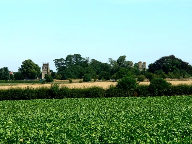
© Roger Gilbertson · Geograph · CC BY-SA 2.0
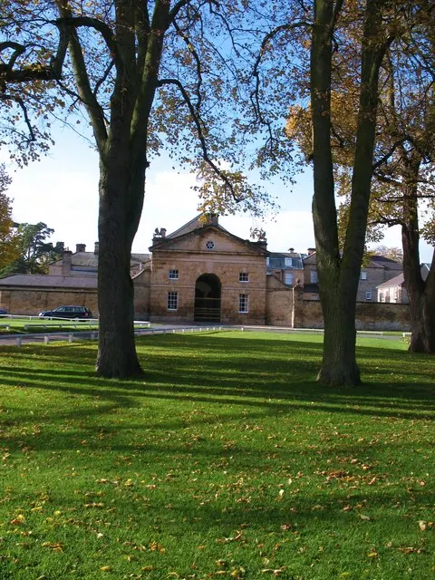
© Gordon Hatton · Geograph · CC BY-SA 2.0
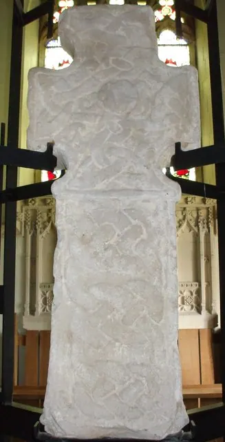
© Matthew Hatton · Geograph · CC BY-SA 2.0
Images © their respective photographers, licensed under CC BY-SA 2.0 and reused here with attribution. Photographs depict listed buildings, churches and monuments near this settlement and may show neighbouring villages.
Data derived from the Open Domesday project (opendomesday.org), based on the Domesday Book dataset compiled by Professor J.J.N. Palmer and team. The Domesday Book (1086) is in the public domain.
Found an inaccuracy? [email protected]