Frodsham in the Domesday Book (1086)
The 1086 Domesday survey records the settlement of Frodsham, entered under the hundred of Ruloe in Cheshire.
Other Settlements in Ruloe
- Aldredelie
- Alvanley
- Conersley
- Done
- Dunham [on the Hill]
- Eddisbury
- Elton
- Hartford
- Helsby
- Ince
- Kingsley
- Manley
- Thornton [le Moors]
- Weaverham
The Meaning of the Name
The name Frodsham is of Anglo-Saxon origin. Its final element derives from the Old English word hām, a homestead or village. The first element is most likely a personal name or an early descriptive term, now difficult to recover with certainty. Taken together the name probably meant something close to ‘a homestead’.
Remarkably, the name has changed little since 1086, when the Domesday scribes wrote it as Frodsham.
Listed Buildings Near Frodsham
Historic England records 48 listed buildings within about a mile of Frodsham. Listing protects structures of special architectural or historic interest, graded I (exceptional), II* (particularly important) and II.
Grade II
- Brook House - 0.29 km
- 52, Main Street - 0.29 km
- Entrance to Army Premises Adjoining Number 52 Main Street - 0.29 km
- 46 and 48, Main Street - 0.29 km
- Millbank Cottage - 0.32 km
- Millbank Farm - 0.32 km
- 53, 55 and 57, Main Street - 0.32 km
- 47, 49 and 51, Main Street - 0.33 km
- Ashley House - 0.34 km
- 84, Main Street - 0.34 km
- 90, Main Street - 0.36 km
- 92, Main Street - 0.36 km
- Stable on East Side of Yard Behind Queen’s Head Hotel - 0.36 km
- Old Hall Hotel - 0.36 km
- Queen’s Head Hotel - 0.37 km
- 83, Main Street - 0.37 km
- 85 and 89, Main Street - 0.37 km
- Lloyds Tsb Bank - 0.39 km
- K6 Telephone Kiosk to Front of Numbers 101 and 103 - 0.39 km
- Walls on West and North Side of Garden at Back of Old Hall Hotel - 0.4 km
- 101 and 103, Main Street - 0.4 km
- K4 Telephone Kiosk North of Railway Bridge - 0.41 km
- 108 and 110, Main Street - 0.43 km
- Tidestone at SJ 51537 77891 - 0.43 km
…and 24 more listed structures in the area.
Frodsham Today
Today Frodsham lies within the administrative area of Cheshire West and Chester, and the settlement recorded a population of 9,339 at the 2021 census. Nine and a half centuries separate that figure from the small rural community the Domesday survey recorded here in 1086.
Read more about modern Frodsham on Wikipedia .
Nearby Domesday Settlements
Other places recorded in the 1086 survey within a few miles:
- Weston - 3.2 km N
- Clifton - 3.2 km N
- Helsby - 3.6 km SW
- Middle Aston - 4.0 km E
- Aston by Sutton - 4.1 km E
- Aldredelie - 4.2 km SE
Heritage Around Frodsham
Photographs of churches, listed buildings and monuments in the vicinity, contributed by volunteers to the Geograph project and reused here under a Creative Commons licence.
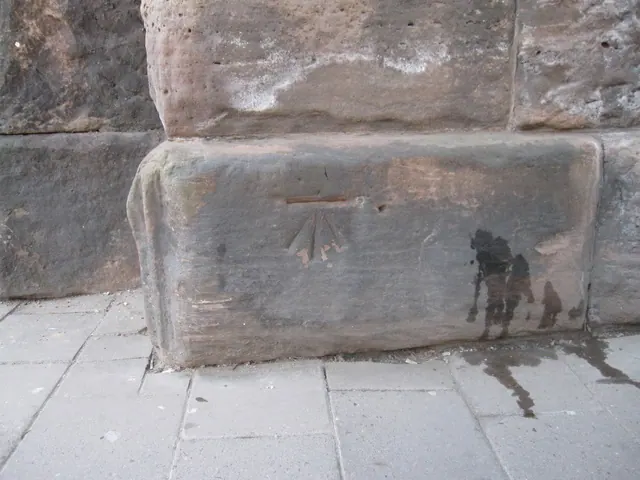
© John S Turner · Geograph · CC BY-SA 2.0
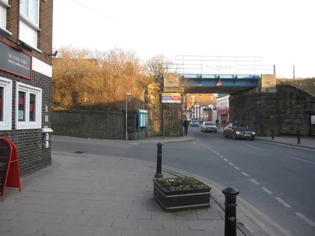
© John S Turner · Geograph · CC BY-SA 2.0
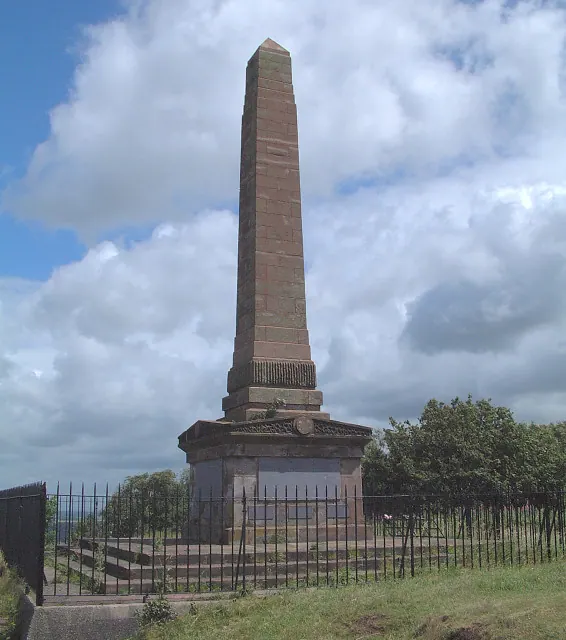
© Gary Rogers · Geograph · CC BY-SA 2.0
Images © their respective photographers, licensed under CC BY-SA 2.0 and reused here with attribution. Photographs depict listed buildings, churches and monuments near this settlement and may show neighbouring villages.
Data derived from the Open Domesday project (opendomesday.org), based on the Domesday Book dataset compiled by Professor J.J.N. Palmer and team. The Domesday Book (1086) is in the public domain.
Found an inaccuracy? [email protected]