Frickley in the Domesday Book (1086)
The 1086 Domesday survey records the settlement of Frickley, entered under the hundred of Strafforth in Yorkshire.
Other Settlements in Strafforth
- Adwick [le Street]
- Adwick [upon Dearne]
- Armthorpe
- Aston
- Attercliffe
- Auckley
- Aughton [Hall]
- Austerfield
- Balby
- Barnbrough
- Barnby [Dun]
- Bentley
- Bilham [House]
- Billingley
The Meaning of the Name
The name Frickley is of Anglo-Saxon origin. Its final element derives from the Old English word lēah, a woodland clearing or glade. The first element is most likely a personal name or an early descriptive term, now difficult to recover with certainty. Taken together the name probably meant something close to ‘a clearing’.
Remarkably, the name has changed little since 1086, when the Domesday scribes wrote it as Frickley.
Listed Buildings Near Frickley
Historic England records 4 listed buildings within about a mile of Frickley. Listing protects structures of special architectural or historic interest, graded I (exceptional), II* (particularly important) and II.
Grade II*
- Church of All Saints - 0.64 km
Grade II
- Garden Cottage and Attached Coach House and Stable Block - 0.16 km
- Frickley Hall - 0.19 km
- Remains of C17 House Incorporated Within Range of Farmbuildings Approximately 30 Metres to North East of Park Farmhouse - 0.52 km
Scheduled Monuments Near Frickley
Scheduled monuments are nationally important archaeological sites given legal protection. 1 lies within roughly a mile of Frickley:
- Frickley Old Hall moated site - 0.55 km
Frickley Today
Today Frickley lies within the administrative area of Clayton with Frickley.
Read more about modern Frickley on Wikipedia .
Nearby Domesday Settlements
Other places recorded in the 1086 survey within a few miles:
- Clayton - 1.4 km SW
- Deightonby Fields - 2.0 km S
- Hooton Pagnell - 2.2 km SE
- Stotfold - 2.2 km SE
- Bilham House - 2.8 km SE
- Moorthorpe - 3.0 km N
Heritage Around Frickley
Photographs of churches, listed buildings and monuments in the vicinity, contributed by volunteers to the Geograph project and reused here under a Creative Commons licence.
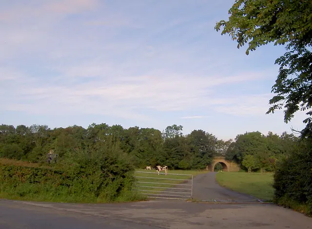
© Steve Fareham · Geograph · CC BY-SA 2.0
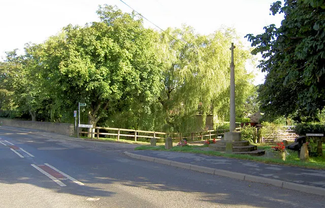
© Steve Fareham · Geograph · CC BY-SA 2.0
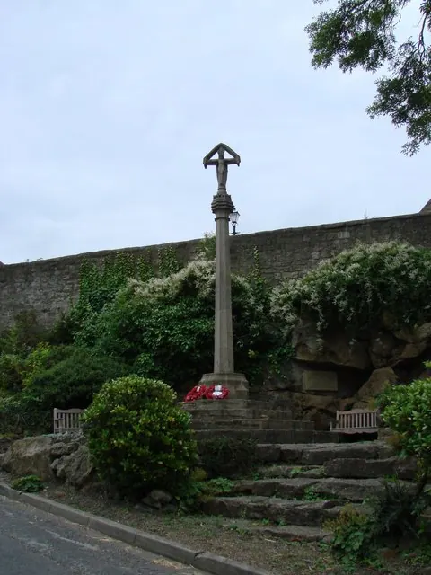
© Bill Henderson · Geograph · CC BY-SA 2.0
Images © their respective photographers, licensed under CC BY-SA 2.0 and reused here with attribution. Photographs depict listed buildings, churches and monuments near this settlement and may show neighbouring villages.
Data derived from the Open Domesday project (opendomesday.org), based on the Domesday Book dataset compiled by Professor J.J.N. Palmer and team. The Domesday Book (1086) is in the public domain.
Found an inaccuracy? [email protected]