Fremington in the Domesday Book (1086)
Fremington appears in the Domesday Book of 1086, entered under the hundred of Land of Count Alan in Yorkshire.
Other Settlements in Land of Count Alan
- Achebi
- Agglethorpe
- Ainderby [Mires]
- Ainderby [Quernhow]
- Aiskew
- Aldbrough
- Allerthorpe [Hall]
- Ascam
- Ascham
- Asebi
- Aske [Hall]
- Askrigg
- Aysgarth
- Baldersby
The Meaning of the Name
The name Fremington is of Anglo-Saxon origin. Its final element derives from the Old English word tūn, a farmstead or village. The first element is most likely a personal name or an early descriptive term, now difficult to recover with certainty. Taken together the name probably meant something close to ‘a farmstead’.
Remarkably, the name has changed little since 1086, when the Domesday scribes wrote it as Fremington.
Listed Buildings Near Fremington
Historic England records 53 listed buildings within about a mile of Fremington. Listing protects structures of special architectural or historic interest, graded I (exceptional), II* (particularly important) and II.
Grade II*
- Draycott Hall - 0.53 km
Grade II
- High Bank House - 0.17 km
- Garden House Approximately 100 Metres North-east of Draycott Hall - 0.44 km
- Garden Wall to East, North and West of Draycott Hall Grounds - 0.44 km
- Upnadown - 0.5 km
- Stableblock Approximately 15 Metres North-west of Draycott Hall - 0.51 km
- Wing Immediately to North of Draycott Hall - 0.51 km
- Gate Piers Approximately 10 Metres West of Draycott Hall - 0.52 km
- Gate Piers Approximately 20 Metres West of Draycott Hall - 0.52 km
- Spring Field - 0.52 km
- Weighill’s Garage - 0.52 km
- Stable and Storage Range Approximately 50 Metres South of Wood Yard Farmhouse - 0.55 km
- Ad Cottage - 0.55 km
- Fremington Mill - 0.55 km
- Reeth Bridge - 0.55 km
- Ad House - 0.56 km
- Gate Piers Approximately 35 Metres South-east of Draycott Hall - 0.57 km
- Wesleyan Chapel - 0.69 km
- The Laurels - 0.71 km
- Sundale - 0.71 km
- Water Pump 25 metres south-east of Burgoyne Hotel - 0.73 km
- Fellside , South View and Hillcrest - 0.74 km
- Burgoyne Hotel and front railings - 0.76 km
- The Old Mortuary to the East of Telephone Exchange - 0.77 km
…and 29 more listed structures in the area.
Scheduled Monuments Near Fremington
Scheduled monuments are nationally important archaeological sites given legal protection. 4 lie within roughly a mile of Fremington:
- Ring cairn on Fremington Edge 650m north east of White House - 0.82 km
- Bowl barrow at Swale Hall - 1.13 km
- Dyke 270yds (250m) E of Dyke House - 1.37 km
- Dyke 220yds (200m) W of Dyke House - 1.44 km
Fremington Today
Today Fremington lies within the administrative area of Reeth, Fremington and Healaugh.
Read more about modern Fremington on Wikipedia .
Nearby Domesday Settlements
Other places recorded in the 1086 survey within a few miles:
Heritage Around Fremington
Photographs of churches, listed buildings and monuments in the vicinity, contributed by volunteers to the Geograph project and reused here under a Creative Commons licence.
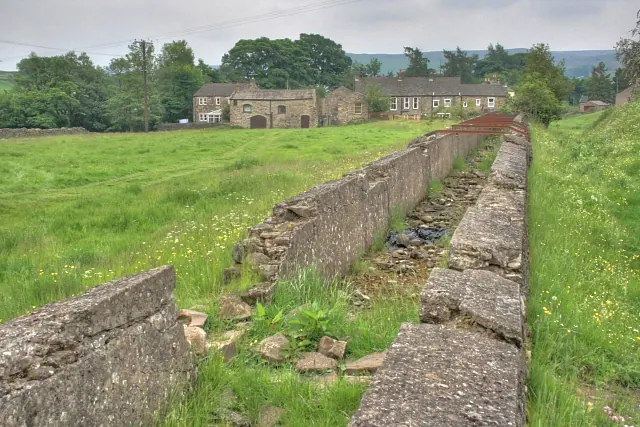
© Mick Garratt · Geograph · CC BY-SA 2.0
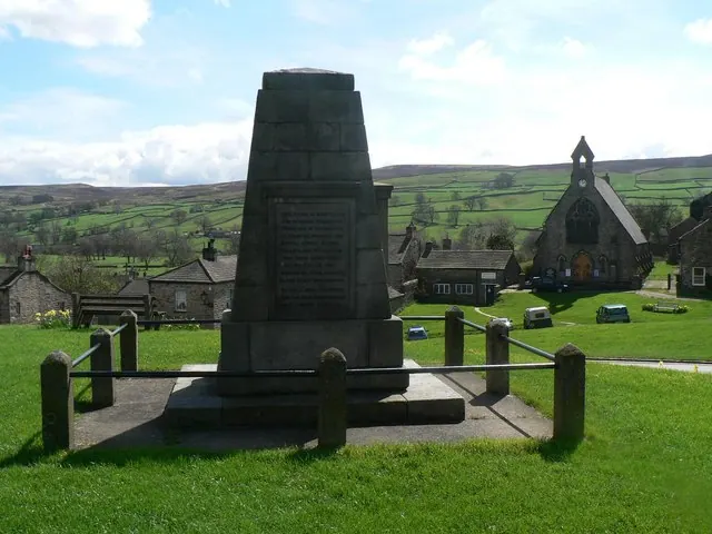
© Chris Downer · Geograph · CC BY-SA 2.0
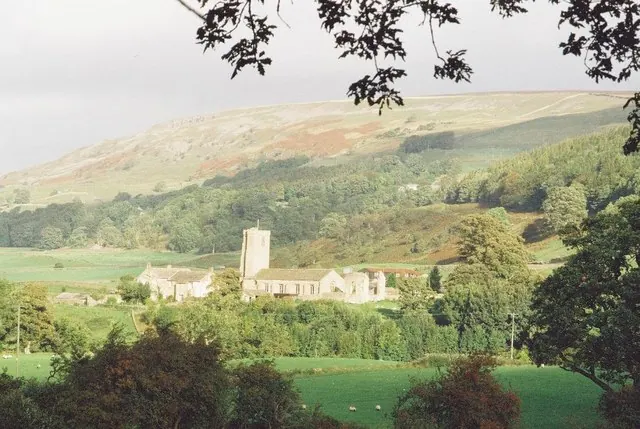
© Chris Downer · Geograph · CC BY-SA 2.0
Images © their respective photographers, licensed under CC BY-SA 2.0 and reused here with attribution. Photographs depict listed buildings, churches and monuments near this settlement and may show neighbouring villages.
Location
54.3908°N, -1.9307°W · Land of Count Alan hundred, Yorkshire
View larger map on OpenStreetMap →Data derived from the Open Domesday project (opendomesday.org), based on the Domesday Book dataset compiled by Professor J.J.N. Palmer and team. The Domesday Book (1086) is in the public domain.
Found an inaccuracy? [email protected]