Forton in the Domesday Book (1086)
Forton is named in the Domesday Book, compiled by Norman commissioners in 1086, entered under the hundred of Amounderness in Yorkshire.
Other Settlements in Amounderness
- Aighton
- Aldcliffe
- Aldingham
- Arkholme
- Aschebi
- Ashton [Hall]
- Ashton [on Ribble]
- Austwick
- Barbon
- Bardsea
- Bare
- Barnoldswick
- Barton
- Beetham
The Meaning of the Name
The name Forton is of Anglo-Saxon origin. Its final element derives from the Old English word tūn, a farmstead or village. The first element is most likely a personal name or an early descriptive term, now difficult to recover with certainty. Taken together the name probably meant something close to ‘a farmstead’.
Remarkably, the name has changed little since 1086, when the Domesday scribes wrote it as Forton.
Listed Buildings Near Forton
Historic England records 19 listed buildings within about a mile of Forton. Listing protects structures of special architectural or historic interest, graded I (exceptional), II* (particularly important) and II.
Grade II
- Forton, Cleveley and Holleth War Memorial - 0.29 km
- Mounting Block in Courtyard Wall of United Reformed Church - 0.31 km
- Building in Churchyard North-west of United Reformed Church - 0.33 km
- United Reformed Church - 0.34 km
- Tomb of James Aray, South-east of United Reformed Church - 0.36 km
- Clifton Hill Home Farmhouse - 0.6 km
- Nos 1 and 2 Clifton Hill and Adjacent Chapel - 0.63 km
- Canal Cottage, Richmond - 0.8 km
- Richmond Bridge (Number 80) - 0.83 km
- Milestone - 1.07 km
- 8, 9 and 10, Hollins Lane - 1.09 km
- Boundary Stone South of Potters Brook Bridge - 1.12 km
- Potters Brook Bridge (Number 81) - 1.16 km
- The Gables, Jackson Hill - 1.19 km
- The Grey House, Jackson Hill - 1.21 km
- Forton Lodge - 1.25 km
- Richmond Grove House - 1.25 km
- Richmond Grove Farmhouse - 1.26 km
- Old Limekiln at Ratcliffe Wharf - 1.27 km
Forton Today
Today Forton lies within the administrative area of Wyre, and the settlement recorded a population of 1,483 at the 2021 census. Nine and a half centuries separate that figure from the small rural community the Domesday survey recorded here in 1086.
Read more about modern Forton on Wikipedia .
Nearby Domesday Settlements
Other places recorded in the 1086 survey within a few miles:
- Cockerham - 2.2 km NW
- Lonsdale - 2.2 km NW
- Great and Little Crimbles - 2.2 km SW
- Hillam - 3.2 km W
- Lower and Upper Thurnham - 3.6 km NW
- Ellel - 5.0 km N
Heritage Around Forton
Photographs of churches, listed buildings and monuments in the vicinity, contributed by volunteers to the Geograph project and reused here under a Creative Commons licence.
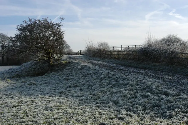
© Tom Richardson · Geograph · CC BY-SA 2.0
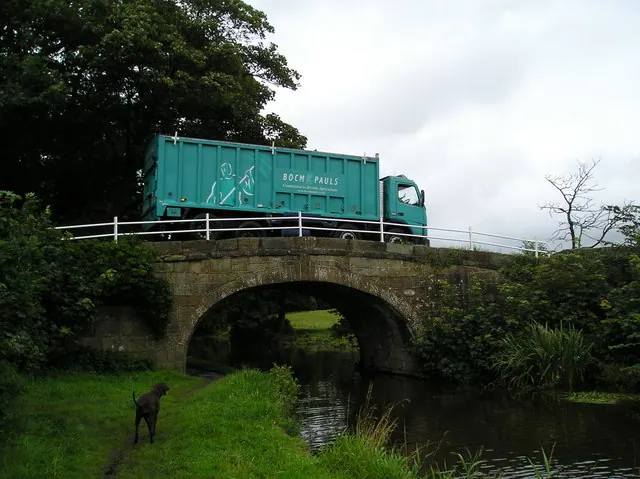
© ray blow · Geograph · CC BY-SA 2.0
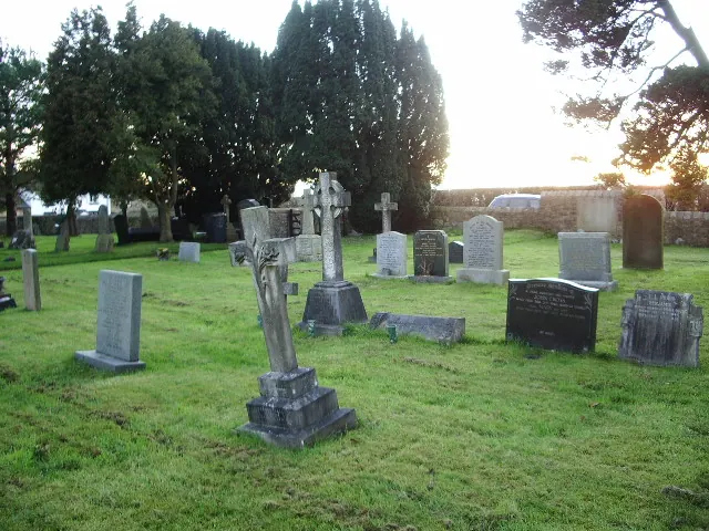
© Alexander P Kapp · Geograph · CC BY-SA 2.0
Images © their respective photographers, licensed under CC BY-SA 2.0 and reused here with attribution. Photographs depict listed buildings, churches and monuments near this settlement and may show neighbouring villages.
Data derived from the Open Domesday project (opendomesday.org), based on the Domesday Book dataset compiled by Professor J.J.N. Palmer and team. The Domesday Book (1086) is in the public domain.
Found an inaccuracy? [email protected]