Flinton in the Domesday Book (1086)
The 1086 Domesday survey records the settlement of Flinton, entered under the hundred of Holderness [Middle Hundred] in Yorkshire.
Other Settlements in Holderness [Middle Hundred]
- Aldbrough
- Benningholme [Hall]
- Bewick [Hall]
- Bilton
- Burton [Constable]
- Burton [Pidsea]
- Conis[ton]
- Danthorpe
- Dowthorpe [Hall]
- Drypool
- Ellerby
- Elstronwick
- Eske
- Etherdwick
The Meaning of the Name
The name Flinton is of Anglo-Saxon origin. Its final element derives from the Old English word tūn, a farmstead or village. The first element is most likely a personal name or an early descriptive term, now difficult to recover with certainty. Taken together the name probably meant something close to ‘a farmstead’.
Remarkably, the name has changed little since 1086, when the Domesday scribes wrote it as Flinton.
Listed Buildings Near Flinton
Historic England records 3 listed buildings within about a mile of Flinton. Listing protects structures of special architectural or historic interest, graded I (exceptional), II* (particularly important) and II.
Grade II
- Fairfield Farmhouse - 0.61 km
- Carr Farmhouse - 0.68 km
- Manor House - 0.9 km
Scheduled Monuments Near Flinton
Scheduled monuments are nationally important archaeological sites given legal protection. 1 lies within roughly a mile of Flinton:
- Shaw Fosse moated site - 1.31 km
Flinton Today
Today Flinton lies within the administrative area of Humbleton.
Read more about modern Flinton on Wikipedia .
Nearby Domesday Settlements
Other places recorded in the 1086 survey within a few miles:
- Tansterne - 1.0 km N
- Etherdwick - 1.4 km NE
- Fostun - 2.0 km S
- Fostune - 2.0 km S
- Humbleton - 2.0 km S
- West Carlton - 2.2 km NW
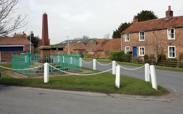
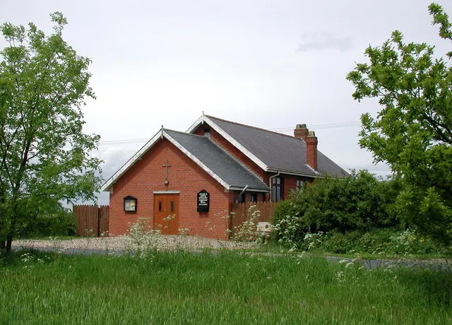
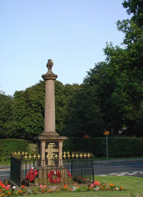
Heritage Around Flinton
Photographs of churches, listed buildings and monuments in the vicinity, contributed by volunteers to the Geograph project and reused here under a Creative Commons licence.
© Peter Church · Geograph · CC BY-SA 2.0
© Paul Glazzard · Geograph · CC BY-SA 2.0
© Paul Glazzard · Geograph · CC BY-SA 2.0
Images © their respective photographers, licensed under CC BY-SA 2.0 and reused here with attribution. Photographs depict listed buildings, churches and monuments near this settlement and may show neighbouring villages.
Location
53.8101°N, -0.1394°W · Holderness [Middle Hundred] hundred, Yorkshire
View larger map on OpenStreetMap →Data derived from the Open Domesday project (opendomesday.org), based on the Domesday Book dataset compiled by Professor J.J.N. Palmer and team. The Domesday Book (1086) is in the public domain.
Found an inaccuracy? [email protected]