Flagg in the Domesday Book (1086)
The 1086 Domesday survey records the settlement of Flagg, entered under the hundred of Blackwell in Derbyshire. The survey assessed Flagg at 2 carucates of taxable land.
At the time of the survey, Flagg supported a recorded population of 16 villagers, 2 smallholders, 7 slaves, working 6 ploughs between them.
The survey records Flagg’s value at 5.25 shillings in 1086. No pre-Conquest figure survives – not unusual in the North, where records were disrupted by the Harrying and by the patchy coverage of the survey.
Resources Recorded at Flagg (1086)
- Pigs: 10
- Sheep: 6
- Meadow: 12 acres
- Woodland: 56 acres
Other Settlements in Blackwell
- Abney
- Ashford [-in-the-Water]
- Aston
- Bakewell
- Bamford
- Baslow
- Beeley
- Birchills
- Birchover
- Blackwell
- Bradwell
- Bubnell
- Burley
- Burton
The Meaning of the Name
The origin of the name Flagg is not securely established from its modern form alone; like many settlement names in the North it likely combines an Old English or Old Norse personal name with a landscape term.
Remarkably, the name has changed little since 1086, when the Domesday scribes wrote it as Flagg.
Listed Buildings Near Flagg
Historic England records 4 listed buildings within about a mile of Flagg. Listing protects structures of special architectural or historic interest, graded I (exceptional), II* (particularly important) and II.
Grade II*
- Flagg Hall - 0.17 km
- Old Farmhouse, Town Head Farm - 0.9 km
Grade II
- Range of Stables and Barn to West of Flagg Hall - 0.13 km
- Outbuilding to North West of Flagg Hall - 0.16 km
Flagg Today
Today Flagg lies within the administrative area of Derbyshire Dales, and the settlement recorded a population of 198 at the 2021 census. Nine and a half centuries separate that figure from the small rural community the Domesday survey recorded here in 1086.
Read more about modern Flagg on Wikipedia .
Nearby Domesday Settlements
Other places recorded in the 1086 survey within a few miles:
- Monyash - 2.8 km SE
- Taddington - 3.2 km N
- Sheldon - 4.0 km E
- Priestcliffe - 4.0 km N
- Blackwell - 4.1 km N
- One Ash - 4.2 km SE
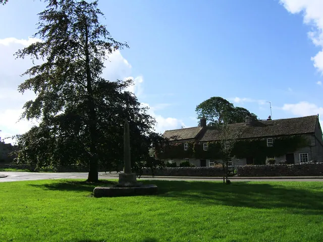
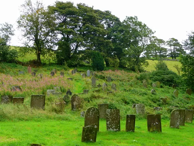
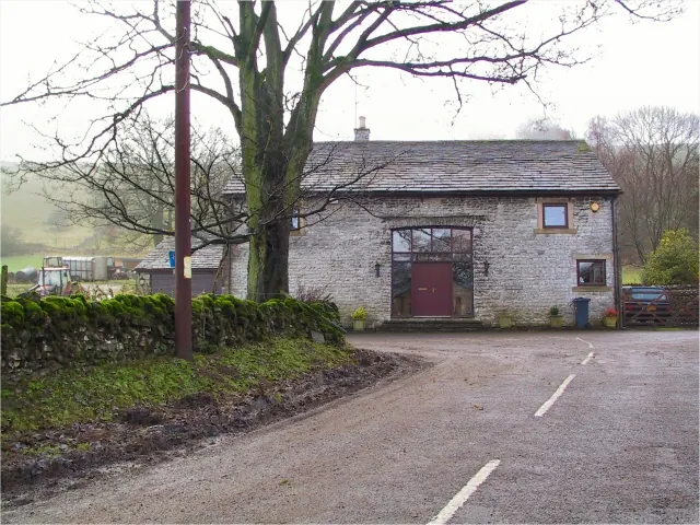
Heritage Around Flagg
Photographs of churches, listed buildings and monuments in the vicinity, contributed by volunteers to the Geograph project and reused here under a Creative Commons licence.
© Jeff Tomlinson · Geograph · CC BY-SA 2.0
© Jonathan Billinger · Geograph · CC BY-SA 2.0
© Roger May · Geograph · CC BY-SA 2.0
Images © their respective photographers, licensed under CC BY-SA 2.0 and reused here with attribution. Photographs depict listed buildings, churches and monuments near this settlement and may show neighbouring villages.
Data derived from the Open Domesday project (opendomesday.org), based on the Domesday Book dataset compiled by Professor J.J.N. Palmer and team. The Domesday Book (1086) is in the public domain.
Found an inaccuracy? [email protected]