Fixby in the Domesday Book (1086)
The settlement of Fixby is recorded in William I’s Domesday survey of 1086, entered under the hundred of Morley in Yorkshire.
Other Settlements in Morley
- Allerton
- Armley
- Batley
- Beeston
- Bolton
- Bowling
- Bradford
- Bramley
- Calverley
- Carlton
- Chellow [Grange]
- Clayton
- Clifton
- Cruttonstall
The Meaning of the Name
The name Fixby is of Scandinavian origin. Its final element derives from the Old Norse word bý, a farmstead or village. The first element is most likely a personal name or an early descriptive term, now difficult to recover with certainty. Taken together the name probably meant something close to ‘a farmstead’.
Names of this type are a fingerprint of Scandinavian settlement: they cluster across the old Danelaw, where Norse-speaking settlers renamed or founded villages from the late 9th century onward.
Remarkably, the name has changed little since 1086, when the Domesday scribes wrote it as Fixby.
Listed Buildings Near Fixby
Historic England records 29 listed buildings within about a mile of Fixby. Listing protects structures of special architectural or historic interest, graded I (exceptional), II* (particularly important) and II.
Grade II
- Fixby Hall - 0.33 km
- Parapet to Ochre Hole Ford - 0.33 km
- Outbuilding Immediately North of Fixby Hall - 0.35 km
- Stable Range to West of Fixby Hall - 0.4 km
- Tower in Centre of Stable Courtyard at Fixby Hall - 0.41 km
- Cartshed to North of Coachhouse at Fixby Hall - 0.42 km
- Coachhouse Range to West of Stables at Fixby Hall - 0.43 km
- Icehouse South West of Stable Block at Fixby Hall - 0.52 km
- Orangery at Fixby Hall - 0.57 km
- Ivy House - 0.57 km
- Lodge to Fixby Park - 0.62 km
- 15, Lightridge Road - 0.63 km
- 182, Netheroyd Hill Road - 0.64 km
- Fixby House - 0.77 km
- Longwoodhouse Farmhouse - 0.83 km
- North Lodge Farmhouse - 0.84 km
- Cosy Nook Farmhouse - 0.89 km
- Reap Hirst House - 0.99 km
- Milestone Opposite Number 523 - 1.14 km
- Fartown and Birkby war memorial - 1.17 km
- The Church of St Cuthbert - 1.18 km
- Rosery Cottage - 1.23 km
- 158, Birkby Hall Road - 1.26 km
- Barn at the Wood - 1.27 km
…and 5 more listed structures in the area.
Scheduled Monuments Near Fixby
Scheduled monuments are nationally important archaeological sites given legal protection. 1 lies within roughly a mile of Fixby:
- Grimscar Roman tilery - 0.72 km
Fixby Today
Today Fixby lies within the administrative area of Kirklees.
Read more about modern Fixby on Wikipedia .
Nearby Domesday Settlements
Other places recorded in the 1086 survey within a few miles:
- Rastrick - 2.0 km N
- Lindley - 2.2 km SW
- Quarmby - 2.8 km SW
- Huddersfield - 3.2 km S
- Elland - 3.6 km NW
- Old Lindley - 4.0 km W
Heritage Around Fixby
Photographs of churches, listed buildings and monuments in the vicinity, contributed by volunteers to the Geograph project and reused here under a Creative Commons licence.
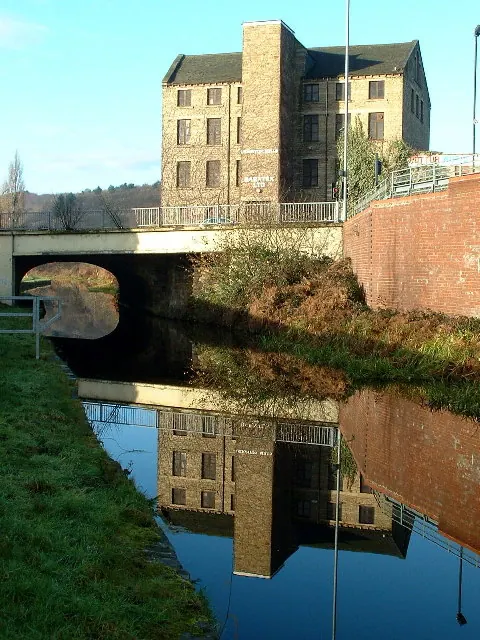
© Nigel Homer · Geograph · CC BY-SA 2.0
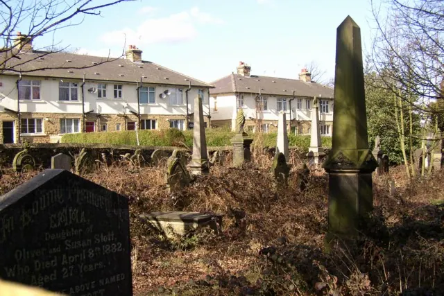
© Humphrey Bolton · Geograph · CC BY-SA 2.0
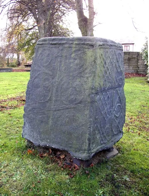
© Humphrey Bolton · Geograph · CC BY-SA 2.0
Images © their respective photographers, licensed under CC BY-SA 2.0 and reused here with attribution. Photographs depict listed buildings, churches and monuments near this settlement and may show neighbouring villages.
Data derived from the Open Domesday project (opendomesday.org), based on the Domesday Book dataset compiled by Professor J.J.N. Palmer and team. The Domesday Book (1086) is in the public domain.
Found an inaccuracy? [email protected]