Fishlake in the Domesday Book (1086)
Fishlake is named in the Domesday Book, compiled by Norman commissioners in 1086, entered under the hundred of Strafforth in Yorkshire.
Other Settlements in Strafforth
- Adwick [le Street]
- Adwick [upon Dearne]
- Armthorpe
- Aston
- Attercliffe
- Auckley
- Aughton [Hall]
- Austerfield
- Balby
- Barnbrough
- Barnby [Dun]
- Bentley
- Bilham [House]
- Billingley
The Meaning of the Name
The origin of the name Fishlake is not securely established from its modern form alone; like many settlement names in the North it likely combines an Old English or Old Norse personal name with a landscape term.
Remarkably, the name has changed little since 1086, when the Domesday scribes wrote it as Fishlake.
Listed Buildings Near Fishlake
Historic England records 12 listed buildings within about a mile of Fishlake. Listing protects structures of special architectural or historic interest, graded I (exceptional), II* (particularly important) and II.
Grade I
- Church of St Cuthbert - 0.29 km
Grade II
- Vine Cottage - 0.06 km
- The Lilacs and Attached Outbuilding - 0.11 km
- Pinfold Approximately 30 Metres to North East of Junction With East Field Road - 0.15 km
- Village Cross at Junction With Pinfold Lane - 0.32 km
- 1, 3 and 5, Church Street - 0.33 km
- The Hall Farmhouse - 0.33 km
- 2, River View - 0.34 km
- Farmbuilding range immediately to east of Manor Farmhouse - 0.49 km
- Remains of Medieval Cross at Junction With Far Bank Lane - 0.58 km
- Remains of Tower Mill in Field to West of Stony Lane - 0.63 km
- Remains of Tower Mill at Mill House Farm - 0.91 km
Scheduled Monuments Near Fishlake
Scheduled monuments are nationally important archaeological sites given legal protection. 2 lie within roughly a mile of Fishlake:
- Wayside cross on Pinfold Lane - 0.33 km
- Wayside cross on Trundle Lane - 0.59 km
Fishlake Today
Today Fishlake lies within the administrative area of Doncaster, and the settlement recorded a population of 633 at the 2021 census. Nine and a half centuries separate that figure from the small rural community the Domesday survey recorded here in 1086.
Read more about modern Fishlake on Wikipedia .
Nearby Domesday Settlements
Other places recorded in the 1086 survey within a few miles:
- Stainforth - 2.2 km SW
- Thorne - 3.0 km E
- Kirk Bramwith - 3.6 km SW
- South Bramwith - 3.6 km SW
- Hatfield - 4.1 km S
- Tudworth Green - 4.2 km SE
Heritage Around Fishlake
Photographs of churches, listed buildings and monuments in the vicinity, contributed by volunteers to the Geograph project and reused here under a Creative Commons licence.
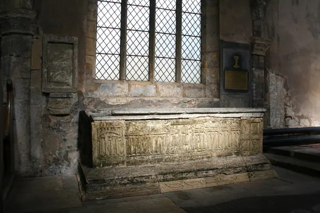
© Richard Croft · Geograph · CC BY-SA 2.0
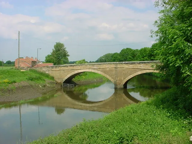
© Steve Wain · Geograph · CC BY-SA 2.0
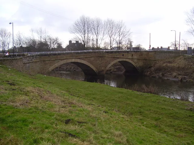
© steven ruffles · Geograph · CC BY-SA 2.0
Images © their respective photographers, licensed under CC BY-SA 2.0 and reused here with attribution. Photographs depict listed buildings, churches and monuments near this settlement and may show neighbouring villages.
Data derived from the Open Domesday project (opendomesday.org), based on the Domesday Book dataset compiled by Professor J.J.N. Palmer and team. The Domesday Book (1086) is in the public domain.
Found an inaccuracy? [email protected]