Fingall in the Domesday Book (1086)
Fingall is named in the Domesday Book, compiled by Norman commissioners in 1086, entered under the hundred of Land of Count Alan in Yorkshire. The survey assessed Fingall at 5 carucates of taxable land.
At the time of the survey, Fingall supported a recorded population of 26 villagers, 7 smallholders, working 9 ploughs between them.
Something went badly wrong here between the two surveys. Before 1066, Fingall was worth 6 shillings; by 1086 that had dropped to 5 shillings – a fall of 16%. Most Yorkshire villages that lost value on this scale were swept up in the Harrying of the North – William’s scorched-earth campaign of 1069–70.
Resources Recorded at Fingall (1086)
- Mills: 1 mill (valued at 15d)
- Fisheries: 3
- Meadow: 10 * 10 furlongs
Other Settlements in Land of Count Alan
- Achebi
- Agglethorpe
- Ainderby [Mires]
- Ainderby [Quernhow]
- Aiskew
- Aldbrough
- Allerthorpe [Hall]
- Ascam
- Ascham
- Asebi
- Aske [Hall]
- Askrigg
- Aysgarth
- Baldersby
The Meaning of the Name
The origin of the name Fingall is not securely established from its modern form alone; like many settlement names in the North it likely combines an Old English or Old Norse personal name with a landscape term.
Remarkably, the name has changed little since 1086, when the Domesday scribes wrote it as Fingall.
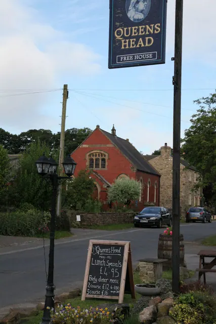
Listed Buildings Near Fingall
Historic England records 13 listed buildings within about a mile of Fingall. Listing protects structures of special architectural or historic interest, graded I (exceptional), II* (particularly important) and II.
Grade II*
- Church of St Andrew - 0.83 km
Grade II
- Park Cottage - 0.48 km
- Queen’s Head - 0.5 km
- The Firkers - 0.52 km
- Cricket Cottage - 0.54 km
- Newton Cottage - 0.57 km
- Manor House - 0.58 km
- Gate Piers - 0.6 km
- Chest Tomb of Matthew Edwards Approximately 6 Metres South West of South West Corner of Church of St Andrew - 0.81 km
- Naitby Memorial Approximately 10 Metres South West of Church of St Andrew - 0.81 km
- Medieval Grave Cover Approximately 8 Metres South of Priest’s Door of Church of St Andrew - 0.82 km
- Leeming Beck Bridge - 0.92 km
- Mile Post - 1.22 km
Fingall Today
Today Fingall lies within the administrative area of Richmondshire, and the settlement recorded a population of 166 at the 2021 census. Nine and a half centuries separate that figure from the small rural community the Domesday survey recorded here in 1086.
Read more about modern Finghall on Wikipedia .
Nearby Domesday Settlements
Other places recorded in the 1086 survey within a few miles:
- Ruswick - 1.0 km E
- Hutton Hang - 2.2 km SW
- Constable Burton - 2.2 km NW
- Hesselton - 2.2 km NE
- Thornton Steward - 2.2 km SW
- Newton le Willows - 3.0 km E
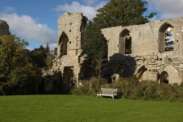
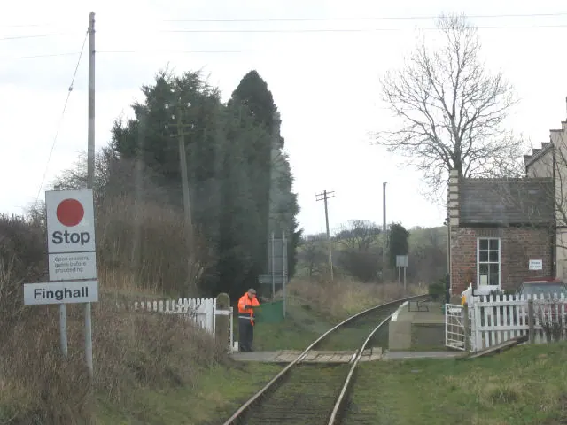
Heritage Around Fingall
Photographs of churches, listed buildings and monuments in the vicinity, contributed by volunteers to the Geograph project and reused here under a Creative Commons licence.
© Mark Anderson · Geograph · CC BY-SA 2.0
© Andrew Whale · Geograph · CC BY-SA 2.0
© Stephen Craven · Geograph · CC BY-SA 2.0
Images © their respective photographers, licensed under CC BY-SA 2.0 and reused here with attribution. Photographs depict listed buildings, churches and monuments near this settlement and may show neighbouring villages.
Location
54.3006°N, -1.7157°W · Land of Count Alan hundred, Yorkshire
View larger map on OpenStreetMap →Data derived from the Open Domesday project (opendomesday.org), based on the Domesday Book dataset compiled by Professor J.J.N. Palmer and team. The Domesday Book (1086) is in the public domain.
Found an inaccuracy? [email protected]