Findern in the Domesday Book (1086)
Findern is named in the Domesday Book, compiled by Norman commissioners in 1086, entered under the hundred of Litchurch in Derbyshire. The survey assessed Findern at 2.5 carucates of taxable land.
At the time of the survey, Findern supported a recorded population of 9 villagers, 6 smallholders, working 8 ploughs between them.
Something went badly wrong here between the two surveys. Before 1066, Findern was worth 2.5 shillings; by 1086 that had dropped to 2 shillings – a fall of 19%. Most Yorkshire villages that lost value on this scale were swept up in the Harrying of the North – William’s scorched-earth campaign of 1069–70.
Other Settlements in Litchurch
- Allestree
- Alvaston
- Ambaston
- Arleston
- Aston [-on-Trent]
- Barrow [-upon-Trent]
- Bearwardcote
- Boulton
- Burnaston
- Chellaston
- Cottons
- Dalbury
- Egginton
- Elvaston
The Meaning of the Name
The origin of the name Findern is not securely established from its modern form alone; like many settlement names in the North it likely combines an Old English or Old Norse personal name with a landscape term.
Remarkably, the name has changed little since 1086, when the Domesday scribes wrote it as Findern.
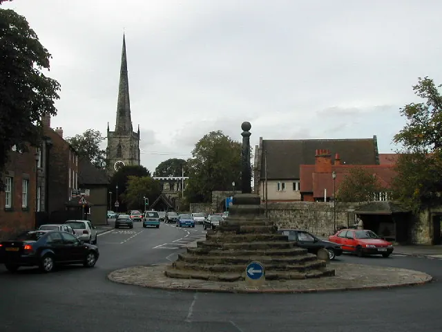
Listed Buildings Near Findern
Historic England records 8 listed buildings within about a mile of Findern. Listing protects structures of special architectural or historic interest, graded I (exceptional), II* (particularly important) and II.
Grade II
- Number 19 and Attached Outbuilding - 0.17 km
- Somerville House and Attached Outbuilding - 0.18 km
- Cowhouse to South East of Number 19 - 0.19 km
- Church of All Saints - 0.28 km
- Willow Farmhouse and Attached Outbuildings - 0.28 km
- Corner House - 0.29 km
- Walls and Gateway to All Saints Churchyard - 0.3 km
- Tower House - 0.42 km
Findern Today
Today Findern lies within the administrative area of South Derbyshire, and the settlement recorded a population of 4,069 at the 2021 census. Nine and a half centuries separate that figure from the small rural community the Domesday survey recorded here in 1086.
Read more about modern Findern on Wikipedia .
Nearby Domesday Settlements
Other places recorded in the 1086 survey within a few miles:
Heritage Around Findern
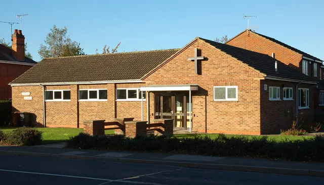
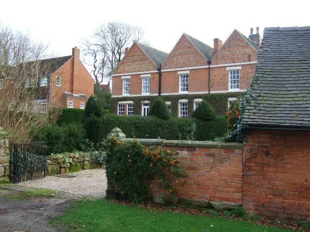
Photographs of churches, listed buildings and monuments in the vicinity, contributed by volunteers to the Geograph project and reused here under a Creative Commons licence.
© Peter Shone · Geograph · CC BY-SA 2.0
© Phil Myott · Geograph · CC BY-SA 2.0
© John Poyser · Geograph · CC BY-SA 2.0
Images © their respective photographers, licensed under CC BY-SA 2.0 and reused here with attribution. Photographs depict listed buildings, churches and monuments near this settlement and may show neighbouring villages.
Data derived from the Open Domesday project (opendomesday.org), based on the Domesday Book dataset compiled by Professor J.J.N. Palmer and team. The Domesday Book (1086) is in the public domain.
Found an inaccuracy? [email protected]