Filey in the Domesday Book (1086)
Filey is named in the Domesday Book, compiled by Norman commissioners in 1086, entered under the hundred of Dic in Yorkshire.
Other Settlements in Dic
- Aislaby
- Allerston
- Appleton [le Moors]
- Aschelesmersc
- Aschilesmares
- Barton [le Street]
- Baschebi
- Baschesbi
- Brompton
- Burniston
- Burton [Dale]
- Cawthorn
- Cayton
- Chigogemers
The Meaning of the Name
The name Filey is of Anglo-Saxon origin. Its final element derives from the Old English word lēah, a woodland clearing or glade. The first element is most likely a personal name or an early descriptive term, now difficult to recover with certainty. Taken together the name probably meant something close to ‘a clearing’.
Remarkably, the name has changed little since 1086, when the Domesday scribes wrote it as Filey.
Listed Buildings Near Filey
Historic England records 25 listed buildings within about a mile of Filey. Listing protects structures of special architectural or historic interest, graded I (exceptional), II* (particularly important) and II.
Grade I
- Church of St Oswald - 0.44 km
Grade II*
- Railway Station - 0.83 km
Grade II
- Farm Buildings Approximately 20 Metres to West of Church Cliff Farm - 0.34 km
- Dovecote Approximately 20 Metres to North-east of Church Cliff Farmhouse - 0.36 km
- Church Cliff Farmhouse - 0.38 km
- 43 and 45, Church Street - 0.48 km
- 41, Church Street - 0.49 km
- 35, Church Street - 0.5 km
- 13, Church Street - 0.58 km
- 8 and 10, Queen Street - 0.58 km
- The Foords Hotel - 0.72 km
- 82, Queen Street - 0.74 km
- Northcliffe Cottage - 0.79 km
- The Lodge and the Coach-house - 0.8 km
- Northcliffe House - 0.83 km
- War Memorial Archway - 0.84 km
- Gates and Gate-piers to Northcliffe House - 0.89 km
- Nos 27 and 29, Nos 31 and 33 (West House) and Nos 35 to 41 With Iron Railings to Entrance Steps - 0.96 km
- Numbers 1 to 7 and Iron Railings to Entrance Steps - 1.03 km
- 24-38, Rutland Street - 1.05 km
- 8-14, the Crescent - 1.09 km
- Roman Catholic Church of St Mary - 1.12 km
- 15-21, The Crescent - 1.14 km
- Royal Crescent Court and Railings to Front and Sides and 4 Lamp Standards to Front - 1.21 km
…and 1 more listed structures in the area.
Scheduled Monuments Near Filey
Scheduled monuments are nationally important archaeological sites given legal protection. 1 lies within roughly a mile of Filey:
- Roman signal station, Carr Naze - 1.15 km
Filey Today
Today Filey lies within the administrative area of North Yorkshire, and the settlement recorded a population of 7,083 at the 2021 census. Nine and a half centuries separate that figure from the small rural community the Domesday survey recorded here in 1086.
Read more about modern Filey on Wikipedia .
Nearby Domesday Settlements
Other places recorded in the 1086 survey within a few miles:
- Muston - 2.8 km SW
- Ricstorp - 2.8 km SW
- Scloftone - 2.8 km SW
- Scolfstona - 2.8 km SW
- Eterstorp - 3.0 km W
- Gristhorpe - 3.0 km W
Heritage Around Filey
Photographs of churches, listed buildings and monuments in the vicinity, contributed by volunteers to the Geograph project and reused here under a Creative Commons licence.
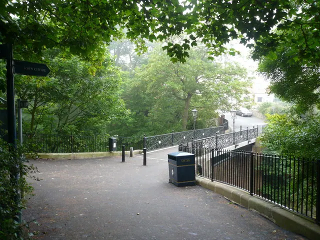
© Alan Heardman · Geograph · CC BY-SA 2.0
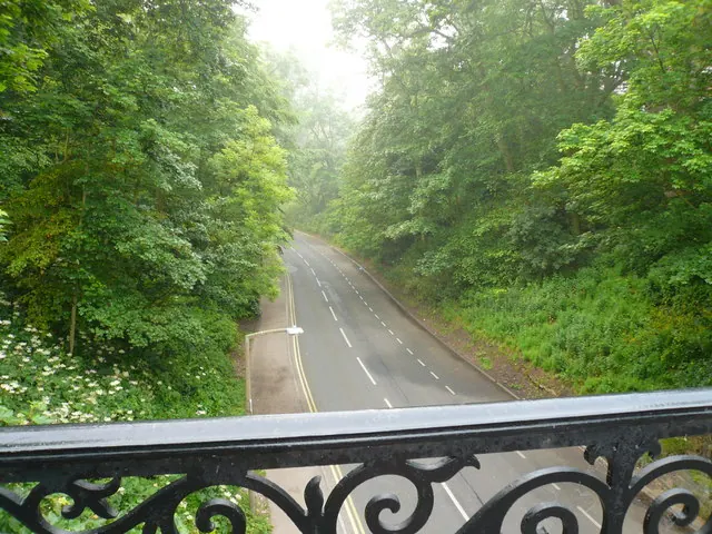
© Alan Heardman · Geograph · CC BY-SA 2.0
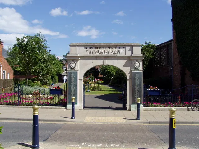
© HENRY CLARK · Geograph · CC BY-SA 2.0
Images © their respective photographers, licensed under CC BY-SA 2.0 and reused here with attribution. Photographs depict listed buildings, churches and monuments near this settlement and may show neighbouring villages.
Data derived from the Open Domesday project (opendomesday.org), based on the Domesday Book dataset compiled by Professor J.J.N. Palmer and team. The Domesday Book (1086) is in the public domain.
Found an inaccuracy? [email protected]