Ferry Fryston in the Domesday Book (1086)
Ferry Fryston appears in the Domesday Book of 1086, entered under the hundred of Osgodcross in Yorkshire.
Other Settlements in Osgodcross
- Arksey
- Badsworth
- Beal
- Burgh[wallis]
- Campsall
- Darrington
- Featherstone
- Hamphall [Stubbs]
- Hensall
- Hessle
- Kellington
- Knottingley
- Minsthorpe
- Newsham
The Meaning of the Name
The name Ferry Fryston is of Anglo-Saxon origin. Its final element derives from the Old English word tūn, a farmstead or village. The first element is most likely a personal name or an early descriptive term, now difficult to recover with certainty. Taken together the name probably meant something close to ‘a farmstead’.
Remarkably, the name has changed little since 1086, when the Domesday scribes wrote it as Ferry Fryston.
Listed Buildings Near Ferry Fryston
Historic England records 7 listed buildings within about a mile of Ferry Fryston. Listing protects structures of special architectural or historic interest, graded I (exceptional), II* (particularly important) and II.
Grade I
- Ferry Bridge - 0.34 km
Grade II
- Ferrybridge War Memorial - 0.22 km
- Old Toll House - 0.38 km
- Main Building at Central Electricity Generating Board Ferrybridge A Site - 0.49 km
- Church of St Andrew - 0.65 km
- Lodge to Byram Park - 1.14 km
- Milestone approximately 10 metres north of junction with Byram Park Road - 1.17 km
Scheduled Monuments Near Ferry Fryston
Scheduled monuments are nationally important archaeological sites given legal protection. 2 lie within roughly a mile of Ferry Fryston:
- Ferrybridge near Knottingley - 0.33 km
- Ferrybridge Henge, a prehistoric enclosure, and two round barrows - 1.21 km
Nearby Domesday Settlements
Other places recorded in the 1086 survey within a few miles:
- Knottingley - 2.0 km E
- Water Fryston - 2.8 km NW
- Fairburn - 3.2 km N
- Tanshelf - 3.6 km SW
- Wheldale - 3.6 km NW
- Darrington - 4.0 km S
Heritage Around Ferry [Fryston]
Photographs of churches, listed buildings and monuments in the vicinity, contributed by volunteers to the Geograph project and reused here under a Creative Commons licence.
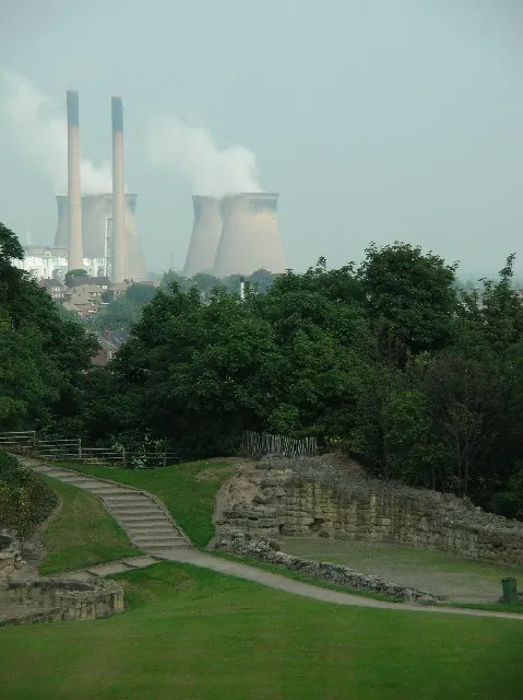
© Paul Johnston-Knight · Geograph · CC BY-SA 2.0
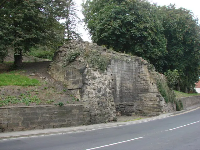
© Bill Henderson · Geograph · CC BY-SA 2.0
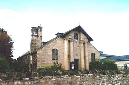
© Bill Henderson · Geograph · CC BY-SA 2.0
Images © their respective photographers, licensed under CC BY-SA 2.0 and reused here with attribution. Photographs depict listed buildings, churches and monuments near this settlement and may show neighbouring villages.
Data derived from the Open Domesday project (opendomesday.org), based on the Domesday Book dataset compiled by Professor J.J.N. Palmer and team. The Domesday Book (1086) is in the public domain.
Found an inaccuracy? [email protected]