Farsley in the Domesday Book (1086)
The 1086 Domesday survey records the settlement of Farsley, entered under the hundred of Morley in Yorkshire.
Other Settlements in Morley
- Allerton
- Armley
- Batley
- Beeston
- Bolton
- Bowling
- Bradford
- Bramley
- Calverley
- Carlton
- Chellow [Grange]
- Clayton
- Clifton
- Cruttonstall
The Meaning of the Name
The name Farsley is of Anglo-Saxon origin. Its final element derives from the Old English word lēah, a woodland clearing or glade. The first element is most likely a personal name or an early descriptive term, now difficult to recover with certainty. Taken together the name probably meant something close to ‘a clearing’.
Remarkably, the name has changed little since 1086, when the Domesday scribes wrote it as Farsley.
Listed Buildings Near Farsley
Historic England records 29 listed buildings within about a mile of Farsley. Listing protects structures of special architectural or historic interest, graded I (exceptional), II* (particularly important) and II.
Grade II
- War Memorial Including Enclosing Wall and Railings - 0.2 km
- 2, Calverley Lane - 0.21 km
- Farsley National Schools - 0.44 km
- 2, Town Street - 0.44 km
- St Johns Sunday School and Attached Church House - 0.46 km
- Church of St John the Evangelist - 0.47 km
- Wadlands Cottage Wadlands Farmhouse - 0.5 km
- Former Bagley Baptist Chapel - 0.67 km
- Cow Shed to West of Old Poplar Farmhouse - 0.74 km
- Old Poplar Farmhouse - 0.75 km
- Mill Occupied by George Barker (Leeds) Limited at Cape Mills - 0.8 km
- West Royd - 0.81 km
- Former Congregational Chapel - 1.09 km
- Olivet Methodist and United Reformed Church - 1.12 km
- Rodley Barge Public House - 1.16 km
- Wharf Cottage - 1.16 km
- Legta - 1.17 km
- 166 and 168, Town Street - 1.18 km
- 164, Town Street - 1.19 km
- 144, Town Street - 1.22 km
- The Grange - 1.22 km
- 134, 136 and 138, Town Street - 1.24 km
- 140, Town Street - 1.24 km
- Outbuilding Approximately 15 Metres West of the Grange - 1.24 km
…and 5 more listed structures in the area.
Scheduled Monuments Near Farsley
Scheduled monuments are nationally important archaeological sites given legal protection. 1 lies within roughly a mile of Farsley:
- Owlcotes deserted medieval village - 1.49 km
Farsley Today
Today Farsley lies within the administrative area of Leeds, and the settlement recorded a population of 22,594 at recent figures. Nine and a half centuries separate that figure from the small rural community the Domesday survey recorded here in 1086.
Read more about modern Farsley on Wikipedia .
Nearby Domesday Settlements
Other places recorded in the 1086 survey within a few miles:
Heritage Around Farsley
Photographs of churches, listed buildings and monuments in the vicinity, contributed by volunteers to the Geograph project and reused here under a Creative Commons licence.
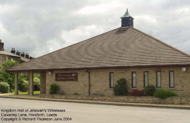
© Rich Tea · Geograph · CC BY-SA 2.0
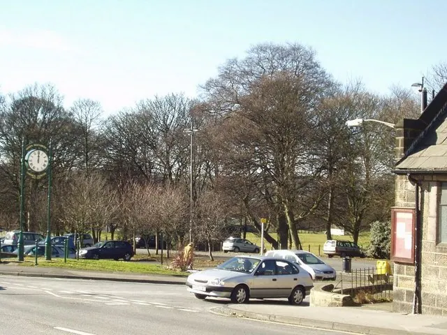
© Rich Tea · Geograph · CC BY-SA 2.0
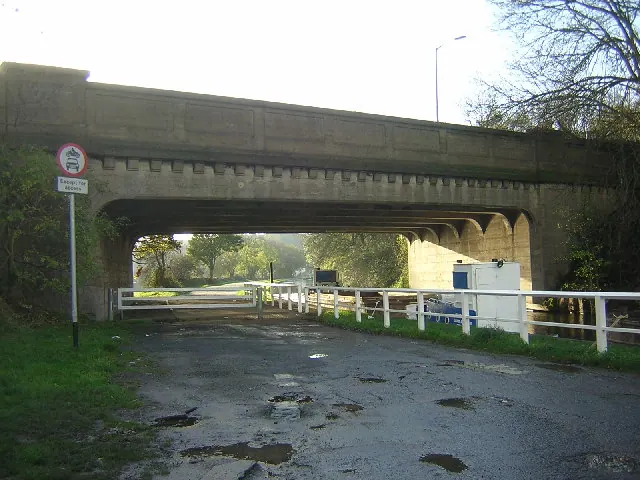
© Mark Morton · Geograph · CC BY-SA 2.0
Images © their respective photographers, licensed under CC BY-SA 2.0 and reused here with attribution. Photographs depict listed buildings, churches and monuments near this settlement and may show neighbouring villages.
Data derived from the Open Domesday project (opendomesday.org), based on the Domesday Book dataset compiled by Professor J.J.N. Palmer and team. The Domesday Book (1086) is in the public domain.
Found an inaccuracy? [email protected]