Farnley Tyas in the Domesday Book (1086)
The 1086 Domesday survey records the settlement of Farnley Tyas, entered under the hundred of Agbrigg in Yorkshire.
Other Settlements in Agbrigg
- Ackton
- Almondbury
- Austonley
- Bradley
- Cartworth
- Crigglestone
- Crofton
- Dalton
- Emley
- Flockton
- Fulstone
- Golcar
- Hepworth
- Holme
The Meaning of the Name
The name Farnley Tyas is of Anglo-Saxon origin. Its final element derives from the Old English word lēah, a woodland clearing or glade. The first element is most likely a personal name or an early descriptive term, now difficult to recover with certainty. Taken together the name probably meant something close to ‘a clearing’.
Remarkably, the name has changed little since 1086, when the Domesday scribes wrote it as Farnley Tyas.
Listed Buildings Near Farnley Tyas
Historic England records 26 listed buildings within about a mile of Farnley Tyas. Listing protects structures of special architectural or historic interest, graded I (exceptional), II* (particularly important) and II.
Grade II*
- Old Milestone - 0.97 km
Grade II
- 51 and 53, the Village - 0.28 km
- Church of St Lucius - 0.29 km
- Former Dairy - 0.29 km
- Number 65 and Adjoining Barn - 0.3 km
- 55, the Village - 0.31 km
- Barn at Yew Tree Farm - 0.32 km
- Beech Farmhouse - 0.33 km
- Barn at 18 Manor Road - 0.36 km
- Netherton Farmhouse - 0.54 km
- 32, Manor Road - 0.61 km
- Ivy Farmhouse and Barn - 0.62 km
- 44, Manor Road - 0.69 km
- Old Guide Post at Junction With Stores Hall Road - 0.93 km
- Moorside Farmh Cottage Moorside House - 1.03 km
- Heights - 1.09 km
- Barn 100 Yards to North of Blake House - 1.14 km
- Old Guide Post at Junction With Wood Lane - 1.15 km
- Dairy 100 Yards to West of Blake House - 1.16 km
- 2, Farnley Bank - 1.17 km
- Ward Boundary Stone - 1.18 km
- Blake House - 1.19 km
- Lumb House Farmhouse - 1.21 km
- Marsh Hall - 1.26 km
…and 2 more listed structures in the area.
Farnley Tyas Today
Today Farnley Tyas lies within the administrative area of Kirkburton.
Read more about modern Farnley Tyas on Wikipedia .
Nearby Domesday Settlements
Other places recorded in the 1086 survey within a few miles:
- Thurstonland - 2.0 km S
- Kirkburton - 3.0 km E
- Honley - 3.0 km W
- Almondbury - 3.0 km N
- Fulstone - 3.2 km S
- Shelley - 4.1 km E
Heritage Around Farnley [Tyas]
Photographs of churches, listed buildings and monuments in the vicinity, contributed by volunteers to the Geograph project and reused here under a Creative Commons licence.
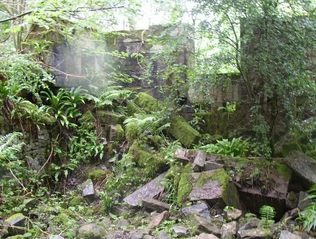
© Humphrey Bolton · Geograph · CC BY-SA 2.0
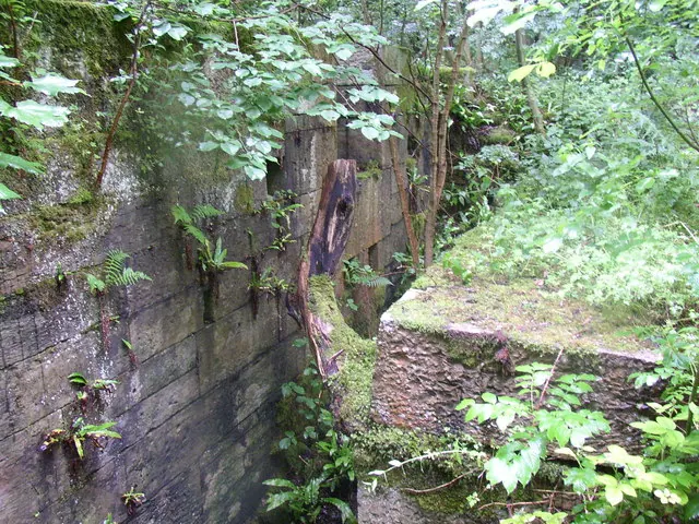
© Humphrey Bolton · Geograph · CC BY-SA 2.0
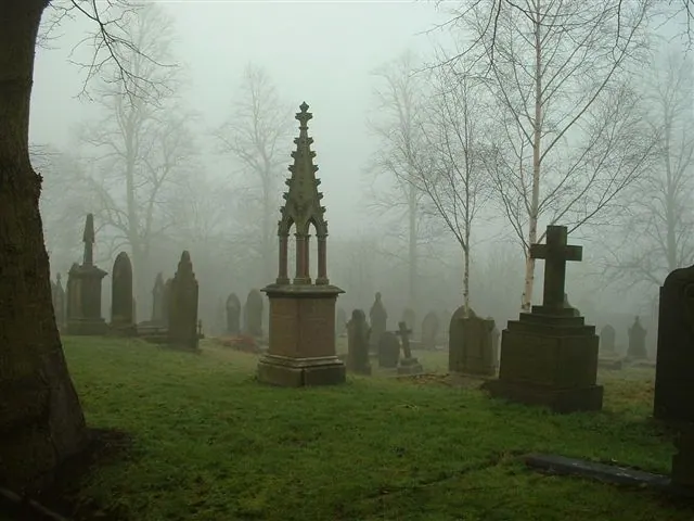
© steve taylor · Geograph · CC BY-SA 2.0
Images © their respective photographers, licensed under CC BY-SA 2.0 and reused here with attribution. Photographs depict listed buildings, churches and monuments near this settlement and may show neighbouring villages.
Data derived from the Open Domesday project (opendomesday.org), based on the Domesday Book dataset compiled by Professor J.J.N. Palmer and team. The Domesday Book (1086) is in the public domain.
Found an inaccuracy? [email protected]