Farnley in the Domesday Book (1086)
The settlement of Farnley is recorded in William I’s Domesday survey of 1086, entered under the hundred of Skyrack in Yorkshire.
Other Settlements in Skyrack
- Adel
- Allerton [Bywater]
- Alwoodley
- Arthington
- Austhorpe
- Baildon
- Bardsey
- Barwick [in Elmet]
- Bichertun
- Bicherun
- Bingley
- Birkby [Hill]
- Bramhope
- Burden [Head]
The Meaning of the Name
The name Farnley is of Anglo-Saxon origin. Its final element derives from the Old English word lēah, a woodland clearing or glade. The first element is most likely a personal name or an early descriptive term, now difficult to recover with certainty. Taken together the name probably meant something close to ‘a clearing’.
Remarkably, the name has changed little since 1086, when the Domesday scribes wrote it as Farnley.
Listed Buildings Near Farnley
Historic England records 15 listed buildings within about a mile of Farnley. Listing protects structures of special architectural or historic interest, graded I (exceptional), II* (particularly important) and II.
Grade I
- Farnley Hall - 1.2 km
Grade II
- Church of All Saints - 0.51 km
- Lindley Bridge Over River Washburn - 0.87 km
- Aisled Barn to West of Lindley Hall Farmhouse - 0.92 km
- Lindley Hall Farmhouse - 0.94 km
- Numbers 1-6 the Square - 0.95 km
- Drinking Fountain Approximately 15 Metres West of Farnley Lodge - 1.0 km
- Farnley Lodge - 1.01 km
- Gates and Gate-piers at Farnley Lodge to Farnley Hall - 1.01 km
- Gate-piers on Driveway Approximately 120 Metres North-east of Farnley Hall - 1.08 km
- Outbuilding Approximately 30 Metres North of Farnley Hall - 1.13 km
- Gate-piers With Gates on Driveway Approximately 50 Metres North-east of Farnley Hall - 1.14 km
- Stables Approximately 50 Metres East of Farnley Hall - 1.15 km
- Archway Approximately 10 Metres North of Farnley Hall - 1.16 km
- Milepost at Junction With Stainburn Road - 1.25 km
Farnley Today
Today Farnley lies within the administrative area of North Yorkshire, and the settlement recorded a population of 312 at the 2021 census. Nine and a half centuries separate that figure from the small rural community the Domesday survey recorded here in 1086.
Read more about modern Farnley on Wikipedia .
Nearby Domesday Settlements
Other places recorded in the 1086 survey within a few miles:
Heritage Around Farnley
Photographs of churches, listed buildings and monuments in the vicinity, contributed by volunteers to the Geograph project and reused here under a Creative Commons licence.
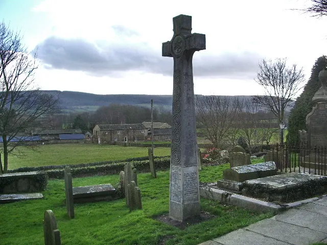
© Alexander P Kapp · Geograph · CC BY-SA 2.0
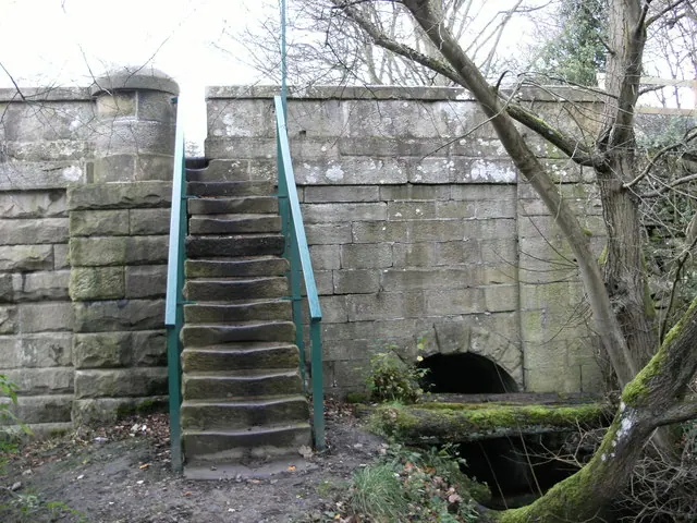
© SMJ · Geograph · CC BY-SA 2.0
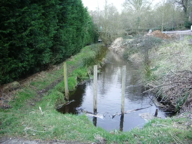
© Alexander P Kapp · Geograph · CC BY-SA 2.0
Images © their respective photographers, licensed under CC BY-SA 2.0 and reused here with attribution. Photographs depict listed buildings, churches and monuments near this settlement and may show neighbouring villages.
Data derived from the Open Domesday project (opendomesday.org), based on the Domesday Book dataset compiled by Professor J.J.N. Palmer and team. The Domesday Book (1086) is in the public domain.
Found an inaccuracy? [email protected]