Farnley in the Domesday Book (1086)
The settlement of Farnley is recorded in William I’s Domesday survey of 1086, entered under the hundred of Morley in Yorkshire.
Other Settlements in Morley
- Allerton
- Armley
- Batley
- Beeston
- Bolton
- Bowling
- Bradford
- Bramley
- Calverley
- Carlton
- Chellow [Grange]
- Clayton
- Clifton
- Cruttonstall
The Meaning of the Name
The name Farnley is of Anglo-Saxon origin. Its final element derives from the Old English word lēah, a woodland clearing or glade. The first element is most likely a personal name or an early descriptive term, now difficult to recover with certainty. Taken together the name probably meant something close to ‘a clearing’.
Remarkably, the name has changed little since 1086, when the Domesday scribes wrote it as Farnley.
Listed Buildings Near Farnley
Historic England records 24 listed buildings within about a mile of Farnley. Listing protects structures of special architectural or historic interest, graded I (exceptional), II* (particularly important) and II.
Grade II
- The Metre House and 2 Cottages to the South West of Stonebridge Mills - 0.42 km
- The Old Mill, Engine House and Boiler House at Stonebridge Mill - 0.43 km
- Wheatfield House - 0.43 km
- Front Wall and Gate Piers to Farnley Hill Methodist Church - 0.46 km
- Row of Workshops to the North of Stonebridge Mill - 0.46 km
- Farnley Hill Methodist Church and Sunday School - 0.47 km
- Row of Three Cottages to the North West of Stonebridge Mills - 0.47 km
- Boundary Wall to Lawns House With Gate Piers and Gates - 0.78 km
- Lawns House - 0.81 km
- Cupola of Old Church in Churchyard to South East of Church of St Michael and All Angels - 0.83 km
- St Makarios Church St Michael And All Angels Church - 0.84 km
- War Memorial - 0.88 km
- Farnley Hall - 0.89 km
- Cliff House Cliff House School - 0.9 km
- Stables Immediately North of Farnley Hall - 0.91 km
- Barn Approximately 75 Metres West of Farnley Hall - 0.96 km
- Lodge, Gate Piers, Gates to Cliff House and Flanking Walls - 0.96 km
- Garden Wall, Gazebo, Potting Sheds and Cart Shed at Farnley Hall - 0.98 km
- Farm Cottage and Stables West of Gazebo at Farnley Hall at Farnley Hall Farm - 1.01 km
- School in Forster Place - 1.05 km
- Lower Wortley Community Centre with attched railings and gates - 1.09 km
- Harper House and Attached Barn at Harper Farm - 1.13 km
- West Leeds High School - 1.17 km
- Gate Piers and Flanking Walls to the Towers - 1.24 km
Farnley Today
Today Farnley lies within the administrative area of Leeds, and the settlement recorded a population of 24,213 at recent figures. Nine and a half centuries separate that figure from the small rural community the Domesday survey recorded here in 1086.
Read more about modern Farnley on Wikipedia .
Nearby Domesday Settlements
Other places recorded in the 1086 survey within a few miles:
Heritage Around Farnley
Photographs of churches, listed buildings and monuments in the vicinity, contributed by volunteers to the Geograph project and reused here under a Creative Commons licence.
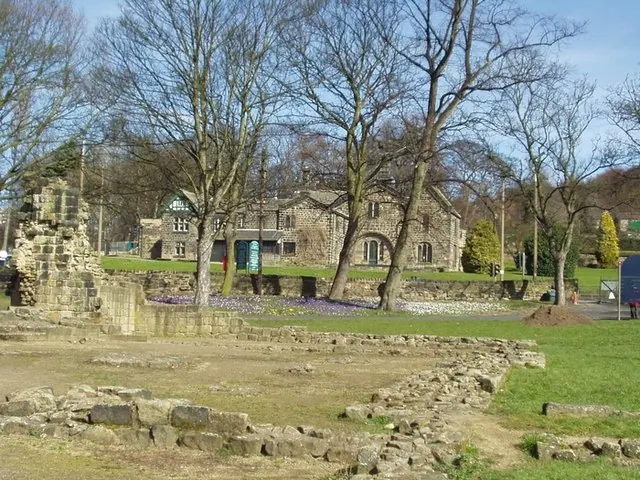
© Rich Tea · Geograph · CC BY-SA 2.0
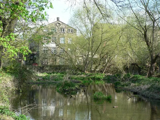
© Rich Tea · Geograph · CC BY-SA 2.0
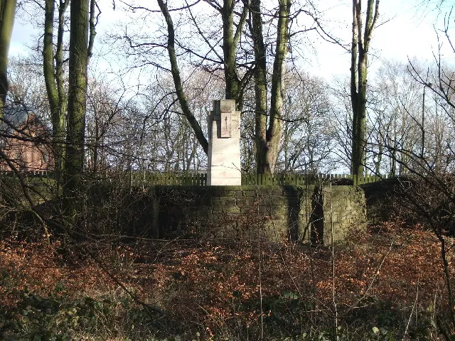
© Steve Partridge · Geograph · CC BY-SA 2.0
Images © their respective photographers, licensed under CC BY-SA 2.0 and reused here with attribution. Photographs depict listed buildings, churches and monuments near this settlement and may show neighbouring villages.
Data derived from the Open Domesday project (opendomesday.org), based on the Domesday Book dataset compiled by Professor J.J.N. Palmer and team. The Domesday Book (1086) is in the public domain.
Found an inaccuracy? [email protected]