Farndon in the Domesday Book (1086)
The settlement of Farndon is recorded in William I’s Domesday survey of 1086, entered under the hundred of Duddeston in Cheshire.
Other Settlements in Duddeston
- Bettisfield
- Bickerton
- Bickley
- Boughton
- Broxton
- Burwardestone
- Burwardsley and [Higher] Burwardsley
- Caldecott
- Calvintone
- Cheaveley
- Cholmondeley
- Chowley
- Christleton
- Clutton
The Meaning of the Name
The name Farndon is of Anglo-Saxon origin. Its final element derives from the Old English word dūn, a hill. The first element is most likely a personal name or an early descriptive term, now difficult to recover with certainty. Taken together the name probably meant something close to ‘a hill’.
Remarkably, the name has changed little since 1086, when the Domesday scribes wrote it as Farndon.
Listed Buildings Near Farndon
Historic England records 20 listed buildings within about a mile of Farndon. Listing protects structures of special architectural or historic interest, graded I (exceptional), II* (particularly important) and II.
Grade I
Grade II*
- Holly Bank, Formerly the Doctor’s House - 0.12 km
- Church of St Chad - 0.27 km
- Barnston Memorial - 0.75 km
Grade II
- Black and White Cottages - 0.1 km
- Holly Cottage - 0.11 km
- Village Lockup - 0.17 km
- Top Farm - 0.17 km
- Poplar House, With Former Cartshed and Stable - 0.25 km
- Pair of Adjacent Table Tombs in Churchyard (South of St Chad’s Church, East of Path to Church Porch) - 0.26 km
- Academy House - 0.27 km
- Farndon War Memorial - 0.27 km
- Sunnyside - 0.28 km
- Chapel House - 0.29 km
- Church View - 0.29 km
- Laurel Bank and Workshop - 0.33 km
- The Chimes - 0.35 km
- Tudor - 0.36 km
- Deebanks - 0.45 km
- Holly Bush Cottage - 0.85 km
Scheduled Monuments Near Farndon
Scheduled monuments are nationally important archaeological sites given legal protection. 1 lies within roughly a mile of Farndon:
- Farndon Holt Bridge Also in Clwyd: Wales - 0.45 km
Farndon Today
Today Farndon lies within the administrative area of Cheshire West and Chester, and the settlement recorded a population of 2,303 at the 2021 census. Nine and a half centuries separate that figure from the small rural community the Domesday survey recorded here in 1086.
Read more about modern Farndon on Wikipedia .
Nearby Domesday Settlements
Other places recorded in the 1086 survey within a few miles:
- Crewe Hall - 1.4 km SE
- Caldecott - 2.8 km SE
- Coddington - 3.2 km E
- Burwardestone - 4.0 km S
- Hoseley - 4.1 km W
- Allington - 4.2 km NW
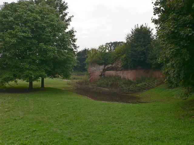
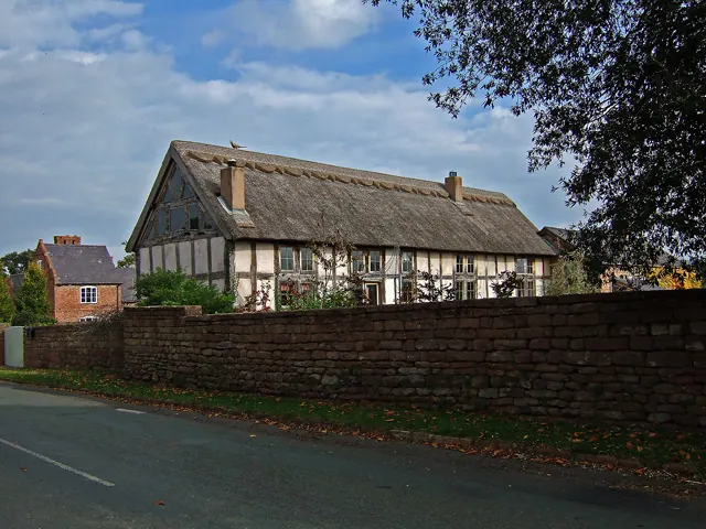
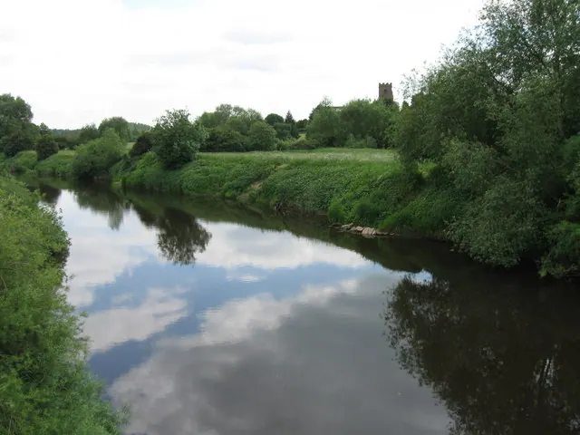
Heritage Around Farndon
Photographs of churches, listed buildings and monuments in the vicinity, contributed by volunteers to the Geograph project and reused here under a Creative Commons licence.
© Eirian Evans · Geograph · CC BY-SA 2.0
© Mike Searle · Geograph · CC BY-SA 2.0
© Alex McGregor · Geograph · CC BY-SA 2.0
Images © their respective photographers, licensed under CC BY-SA 2.0 and reused here with attribution. Photographs depict listed buildings, churches and monuments near this settlement and may show neighbouring villages.
Data derived from the Open Domesday project (opendomesday.org), based on the Domesday Book dataset compiled by Professor J.J.N. Palmer and team. The Domesday Book (1086) is in the public domain.
Found an inaccuracy? [email protected]