Farleton in the Domesday Book (1086)
The 1086 Domesday survey records the settlement of Farleton, entered under the hundred of Amounderness in Yorkshire.
Other Settlements in Amounderness
- Aighton
- Aldcliffe
- Aldingham
- Arkholme
- Aschebi
- Ashton [Hall]
- Ashton [on Ribble]
- Austwick
- Barbon
- Bardsea
- Bare
- Barnoldswick
- Barton
- Beetham
The Meaning of the Name
The name Farleton is of Anglo-Saxon origin. Its final element derives from the Old English word tūn, a farmstead or village. The first element is most likely a personal name or an early descriptive term, now difficult to recover with certainty. Taken together the name probably meant something close to ‘a farmstead’.
Remarkably, the name has changed little since 1086, when the Domesday scribes wrote it as Farleton.
Listed Buildings Near Farleton
Historic England records 25 listed buildings within about a mile of Farleton. Listing protects structures of special architectural or historic interest, graded I (exceptional), II* (particularly important) and II.
Grade II
- Atkinson’s Bridge Over Kendal/lancaster Canal - 0.21 km
- Thompson’s Bridge Over Kendal/lancaster Canal - 0.23 km
- Boundary Stone on Farleton Bridge Over Farleton Beck - 0.26 km
- Farleton Bridge Over Farleton Beck - 0.26 km
- Milepost 80 Metres South of Entrance to Green Close - 0.29 km
- Aqueduct Carrying Kendal/lancaster Canal Over Farleton Beck - 0.33 km
- Hodgson’s Bridge Over Kendal/lancaster Canal - 0.35 km
- Milestone on Kendal/lancaster Canal Approximately 90 Metres South of Dovehouses Bridge - 0.41 km
- Bank Barn Approximately 20 Metres North of Farleton House - 0.47 km
- Farleton Turnpike Bridge Over Kendal/lancaster Canal - 0.49 km
- Dovehouses Bridge Over Kendal/lancaster Canal - 0.49 km
- Garden Walls, End Piers, Railings and Gate, to Farleton House - 0.51 km
- Farleton House - 0.51 km
- Moss End Farmhouse - 0.53 km
- Former Barn with cowhouse under, Waggon Shed and stores - 0.57 km
- Marsden Farmhouse - 0.64 km
- Townend Farmhouse and Attached Outbuilding Now Part of House - 0.77 km
- Duke’s Bridge Over Kendal/lancaster Canal 170 Metres East North East of Townend Farm - 0.79 km
- Summerdale House - 1.05 km
- Milestone on Kendal/lancaster Canal Approximately 300 Metres South South West of Duke’s Bridge - 1.08 km
- Garden Walls and Gateways to North and East of Garden to East of Summerdale House - 1.08 km
- Milestone Approximately 75 Metres North of Summerdale House - 1.09 km
- Seven Milestone Bridge Over Kendal/lancaster Canal - 1.15 km
- Milestone Approximately 50 Metres North of Seven Milestone Bridge Over Kendal/lancaster Canal - 1.21 km
…and 1 more listed structures in the area.
Farleton Today
Today Farleton lies within the administrative area of Beetham.
Read more about modern Farleton on Wikipedia .
Nearby Domesday Settlements
Other places recorded in the 1086 survey within a few miles:
- Lupton - 2.0 km E
- Preston Patrick - 2.2 km NE
- Preston Richard - 3.0 km N
- Holme - 3.2 km S
- Heversham Head - 3.6 km NW
- Stainton - 4.1 km N
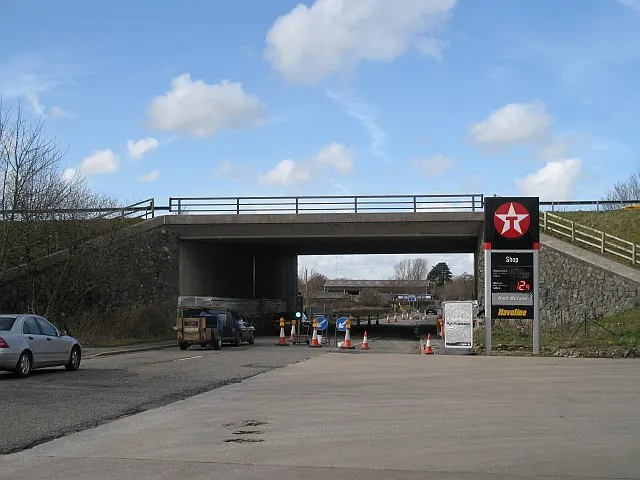
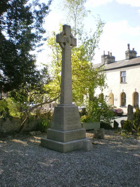
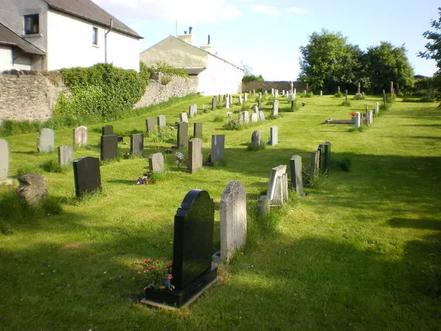
Heritage Around Farleton
Photographs of churches, listed buildings and monuments in the vicinity, contributed by volunteers to the Geograph project and reused here under a Creative Commons licence.
© Richard Webb · Geograph · CC BY-SA 2.0
© Alexander P Kapp · Geograph · CC BY-SA 2.0
© Alexander P Kapp · Geograph · CC BY-SA 2.0
Images © their respective photographers, licensed under CC BY-SA 2.0 and reused here with attribution. Photographs depict listed buildings, churches and monuments near this settlement and may show neighbouring villages.
Data derived from the Open Domesday project (opendomesday.org), based on the Domesday Book dataset compiled by Professor J.J.N. Palmer and team. The Domesday Book (1086) is in the public domain.
Found an inaccuracy? [email protected]