Falsgrave in the Domesday Book (1086)
The settlement of Falsgrave is recorded in William I’s Domesday survey of 1086, entered under the hundred of Dic in Yorkshire.
Other Settlements in Dic
- Aislaby
- Allerston
- Appleton [le Moors]
- Aschelesmersc
- Aschilesmares
- Barton [le Street]
- Baschebi
- Baschesbi
- Brompton
- Burniston
- Burton [Dale]
- Cawthorn
- Cayton
- Chigogemers
The Meaning of the Name
The origin of the name Falsgrave is not securely established from its modern form alone; like many settlement names in the North it likely combines an Old English or Old Norse personal name with a landscape term.
Remarkably, the name has changed little since 1086, when the Domesday scribes wrote it as Falsgrave.
Listed Buildings Near Falsgrave
Historic England records 25 listed buildings within about a mile of Falsgrave. Listing protects structures of special architectural or historic interest, graded I (exceptional), II* (particularly important) and II.
Grade II
- The Crown Tavern - 0.65 km
- Church of St James With Holy Trinity (C of E) - 0.66 km
- 12-16, Scalby Road - 0.67 km
- 5-9, Scalby Road - 0.69 km
- 11-19, Scalby Road - 0.7 km
- Stepney House - 0.73 km
- The New Tavern - 0.8 km
- The White House Public House - 0.83 km
- 73, Falsgrave Road - 1.01 km
- The Ship Public House - 1.02 km
- 69, Falsgrave Road - 1.04 km
- 63-67, Falsgrave Road - 1.07 km
- 57-61, Falsgrave Road - 1.08 km
- 20, Falsgrave Road - 1.09 km
- Former Holy Trinity Church - 1.1 km
- 47-55, Falsgrave Road - 1.1 km
- 14, Falsgrave Road - 1.12 km
- Front Walls of Nos 29 to 45 - 1.14 km
- Falsgrave Signal Box - 1.16 km
- 29-45, Falsgrave Road - 1.16 km
- 21, Falsgrave Road - 1.21 km
- Front Wall to no 21 - 1.21 km
- 9 and 11, Falsgrave Road - 1.24 km
- Front Wall of Nos 9 and 11 - 1.25 km
…and 1 more listed structures in the area.
Scheduled Monuments Near Falsgrave
Scheduled monuments are nationally important archaeological sites given legal protection. 9 lie within roughly a mile of Falsgrave:
- Bowl barrow 600m north of Moor House Farm - 0.88 km
- Bowl barrow 550m north north west of Moor House Farm - 1.08 km
- Section of linear earthwork on Seamer Moor Hill - 1.27 km
- Bowl barrow 450m north east of Moor House Farm - 1.3 km
- Bowl barrow 150m north of Moor House Farm - 1.35 km
- Bowl barrow 800m north west of Moor House Farm - 1.45 km
- Bowl barrow 100m east of Moor House Farm - 1.46 km
- Bowl barrow 450m NW of Moor House Farm - 1.46 km
- Bowl barrow 300m north east of Beacon Farm - 1.57 km
Falsgrave Today
Today Falsgrave lies within the administrative area of North Yorkshire.
Read more about modern Falsgrave on Wikipedia .
Nearby Domesday Settlements
Other places recorded in the 1086 survey within a few miles:
- Burton Dale - 1.4 km SE
- Hillgrips - 3.2 km W
- Irton - 3.2 km S
- Thorpefield - 3.2 km S
- Stemainesbi - 3.2 km N
- Stemanesbi - 3.2 km N
Heritage Around Falsgrave
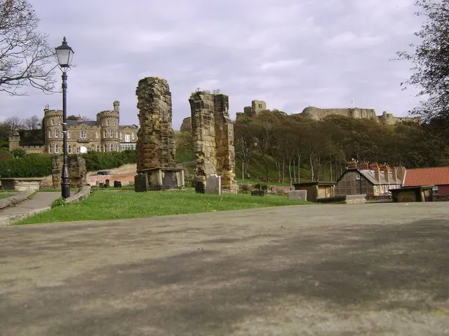
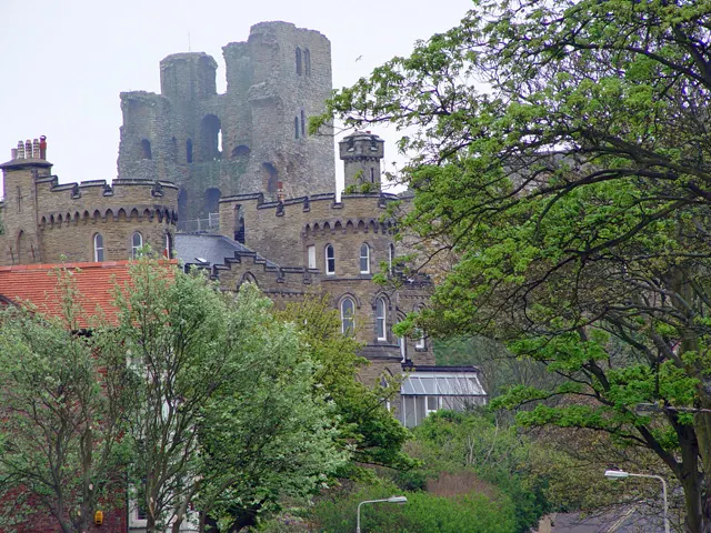
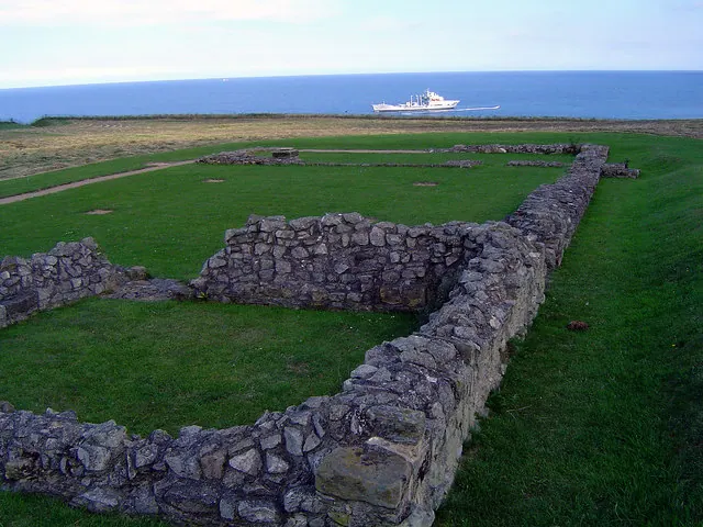
Photographs of churches, listed buildings and monuments in the vicinity, contributed by volunteers to the Geograph project and reused here under a Creative Commons licence.
© Maigheach-gheal · Geograph · CC BY-SA 2.0
© Peter Church · Geograph · CC BY-SA 2.0
© Scott Robinson · Geograph · CC BY-SA 2.0
Images © their respective photographers, licensed under CC BY-SA 2.0 and reused here with attribution. Photographs depict listed buildings, churches and monuments near this settlement and may show neighbouring villages.
Data derived from the Open Domesday project (opendomesday.org), based on the Domesday Book dataset compiled by Professor J.J.N. Palmer and team. The Domesday Book (1086) is in the public domain.
Found an inaccuracy? [email protected]