Everley in the Domesday Book (1086)
The 1086 Domesday survey records the settlement of Everley, entered under the hundred of Dic in Yorkshire.
Other Settlements in Dic
- Aislaby
- Allerston
- Appleton [le Moors]
- Aschelesmersc
- Aschilesmares
- Barton [le Street]
- Baschebi
- Baschesbi
- Brompton
- Burniston
- Burton [Dale]
- Cawthorn
- Cayton
- Chigogemers
The Meaning of the Name
The name Everley is of Anglo-Saxon origin. Its final element derives from the Old English word lēah, a woodland clearing or glade. The first element is most likely a personal name or an early descriptive term, now difficult to recover with certainty. Taken together the name probably meant something close to ‘a clearing’.
Remarkably, the name has changed little since 1086, when the Domesday scribes wrote it as Everley.
Listed Buildings Near Everley
Historic England records 2 listed buildings within about a mile of Everley. Listing protects structures of special architectural or historic interest, graded I (exceptional), II* (particularly important) and II.
Grade II
- Mowthorp Bridge - 0.47 km
- Mowthorp Farmhouse - 0.5 km
Scheduled Monuments Near Everley
Scheduled monuments are nationally important archaeological sites given legal protection. 8 lie within roughly a mile of Everley:
- Round barrow on Coverdale Moor, 470m south of North Stile Cottage - 0.85 km
- Round barrow on Coverdale Moor, 530m south of North Stile Cottage - 0.92 km
- Prehistoric field system and seven round barrows on West Ayton Moor - 1.12 km
- Ring cairn on West Ayton Moor, 900m south west of Cockrah House - 1.49 km
- Round barrow in Raincliffe Woods, 420m north of Osborne Lodge - 1.52 km
- Prehistoric linear boundary in Craddlegrip Wood, 900m north west of High Yedmandale - 1.53 km
- Square barrow on West Ayton Moor, 700m south west of Cockrah House - 1.53 km
- Round barrow on Shortgate Hill, 500m south east of Coomb Slack Farm - 1.56 km
Everley Today
Today Everley lies within the administrative area of Suffield-cum-Everley.
Nearby Domesday Settlements
Other places recorded in the 1086 survey within a few miles:
- Northfield Farm - 2.2 km NE
- Suffield - 2.2 km NE
- Hackness - 2.2 km NW
- Hillgrips - 2.8 km SE
- Scalby - 3.6 km NE
- Hutton Buscel - 4.0 km S
Heritage Around Everley
Photographs of churches, listed buildings and monuments in the vicinity, contributed by volunteers to the Geograph project and reused here under a Creative Commons licence.
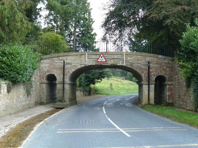
© JThomas · Geograph · CC BY-SA 2.0
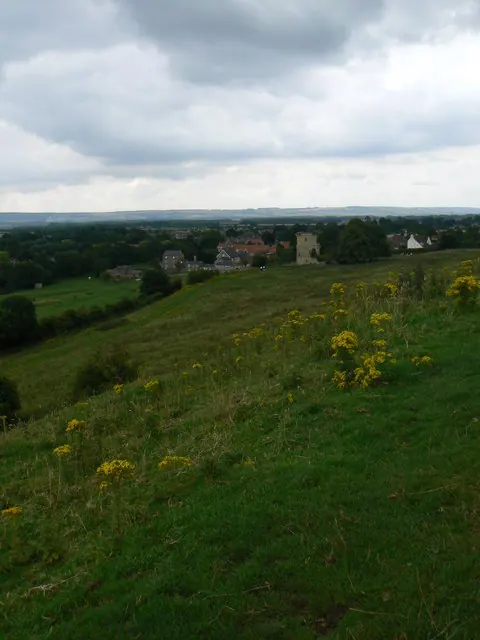
© bernard bradley · Geograph · CC BY-SA 2.0
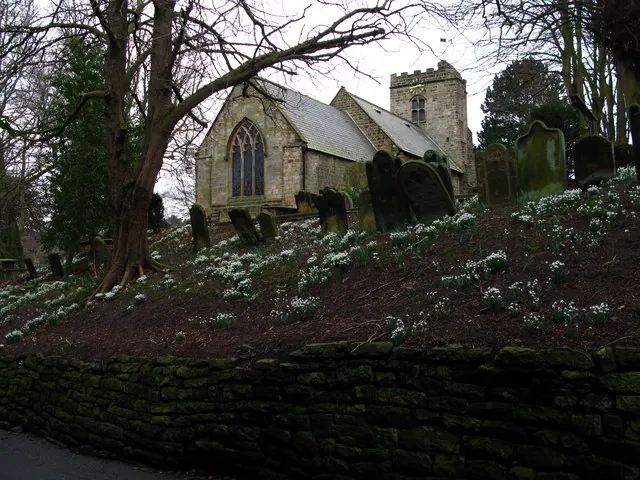
© David Rogers · Geograph · CC BY-SA 2.0
Images © their respective photographers, licensed under CC BY-SA 2.0 and reused here with attribution. Photographs depict listed buildings, churches and monuments near this settlement and may show neighbouring villages.
Data derived from the Open Domesday project (opendomesday.org), based on the Domesday Book dataset compiled by Professor J.J.N. Palmer and team. The Domesday Book (1086) is in the public domain.
Found an inaccuracy? [email protected]