Etwall in the Domesday Book (1086)
Etwall appears in the Domesday Book of 1086, entered under the hundred of Litchurch in Derbyshire.
Other Settlements in Litchurch
- Allestree
- Alvaston
- Ambaston
- Arleston
- Aston [-on-Trent]
- Barrow [-upon-Trent]
- Bearwardcote
- Boulton
- Burnaston
- Chellaston
- Cottons
- Dalbury
- Egginton
- Elvaston
The Meaning of the Name
The origin of the name Etwall is not securely established from its modern form alone; like many settlement names in the North it likely combines an Old English or Old Norse personal name with a landscape term.
Remarkably, the name has changed little since 1086, when the Domesday scribes wrote it as Etwall.
Listed Buildings Near Etwall
Historic England records 19 listed buildings within about a mile of Etwall. Listing protects structures of special architectural or historic interest, graded I (exceptional), II* (particularly important) and II.
Grade I
- Church of St Helen - 0.6 km
Grade II*
- Gates, Gatepiers, and Railings to South of the Etwall Almshouses - 0.64 km
- Sir John Port Almshouses - 0.66 km
Grade II
- Well Head to 6 Metres South West of St Helen’s Church Porch - 0.57 km
- Garden Wall to Lane Next to Church, Etwall Park, 5 Metres Sw of Etwall Almshouses - 0.61 km
- Hawk and Buckle Inn and Attached Stableblock - 0.64 km
- 48 and 50 Main Street - 0.65 km
- Blenheim Farmhouse - 0.68 km
- The Vicarage - 0.69 km
- 58, Main Street - 0.69 km
- Etwall Lodge - 0.7 km
- Number 78 and Attached Outbuilding - 0.75 km
- Lodge Cottage at Hilton Lodge - 0.79 km
- Hilton Lodge - 0.79 km
- 80 Main Street - 0.79 km
- Etwall Lawns - 0.82 km
- The Old Red House - 0.84 km
- The Limes and Attached Coach House - 0.85 km
- Ashe Hall - 1.17 km
Etwall Today
Today Etwall lies within the administrative area of South Derbyshire, and the settlement recorded a population of 3,179 at the 2021 census. Nine and a half centuries separate that figure from the small rural community the Domesday survey recorded here in 1086.
Read more about modern Etwall on Wikipedia .
Nearby Domesday Settlements
Other places recorded in the 1086 survey within a few miles:
Heritage Around Etwall
Photographs of churches, listed buildings and monuments in the vicinity, contributed by volunteers to the Geograph project and reused here under a Creative Commons licence.
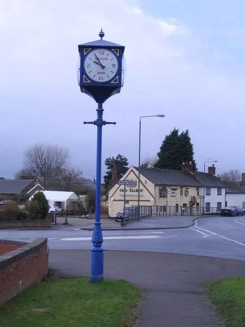
© M J Richardson · Geograph · CC BY-SA 2.0
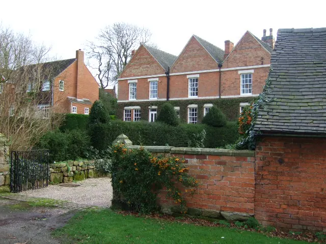
© John Poyser · Geograph · CC BY-SA 2.0
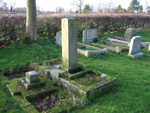
© John Poyser · Geograph · CC BY-SA 2.0
Images © their respective photographers, licensed under CC BY-SA 2.0 and reused here with attribution. Photographs depict listed buildings, churches and monuments near this settlement and may show neighbouring villages.
Data derived from the Open Domesday project (opendomesday.org), based on the Domesday Book dataset compiled by Professor J.J.N. Palmer and team. The Domesday Book (1086) is in the public domain.
Found an inaccuracy? [email protected]