Eston in the Domesday Book (1086)
The 1086 Domesday survey records the settlement of Eston, entered under the hundred of Langbaurgh in Yorkshire.
Other Settlements in Langbaurgh
- Acklam
- Airy [Holme]
- Aislaby
- Arnodestorp
- Baldebi
- Barnaby
- Barwick
- Battersby
- Bergolbi
- Berguluesbi
- Blaten [Carr]
- Borrowby
- Breck
- Brotton
The Meaning of the Name
The name Eston is of Anglo-Saxon origin. Its final element derives from the Old English word tūn, a farmstead or village. The first element is most likely a personal name or an early descriptive term, now difficult to recover with certainty. Taken together the name probably meant something close to ‘a farmstead’.
Remarkably, the name has changed little since 1086, when the Domesday scribes wrote it as Eston.
Listed Buildings Near Eston
Historic England records 18 listed buildings within about a mile of Eston. Listing protects structures of special architectural or historic interest, graded I (exceptional), II* (particularly important) and II.
Grade II*
- Manor House - 1.14 km
- Old Hall Farmhouse and Garden Wall - 1.28 km
Grade II
- War Memorial Area Railings and Gate - 0.14 km
- Christ Church - 0.31 km
- The Ship Inn - 0.44 km
- 82, High Street - 0.47 km
- 84 and 86, High Street - 0.47 km
- Numbers 47 and 49 and Area/retaining Walls - 0.52 km
- Stapylton Arms Public House - 0.53 km
- Blacksmith’s Workshop North of Number 45 - 0.54 km
- 45, High Street - 0.54 km
- 74, 76 and 78, High Street - 0.57 km
- Powder Magazine and Adjoining Blast Walls - 0.65 km
- Snowdon Tombstone Circa 8 Metres South East of Church of St Helen - 0.85 km
- Appleton Tombstone Circa 10 Metres South of Church of St Helen - 0.86 km
- Evans Monument, 210 Metres West of Church of St Helen - 1.07 km
- Stables Byre Barn and Fold-yard, Circa 10 Metres West of Old Hall Farmhouse - 1.25 km
- Stable Range Adjoining South Side of Old Hall Farmhouse - 1.28 km
Scheduled Monuments Near Eston
Scheduled monuments are nationally important archaeological sites given legal protection. 7 lie within roughly a mile of Eston:
- Bowl barrow on Eston Moor, 1.4km north-west of High Barnaby Farm - 1.16 km
- Eston Nab hill fort, palisaded settlement and beacon - 1.19 km
- Ring cairn, on Eston Moor 1.3 km north of Mill Farm - 1.32 km
- Bowl barrow on Eston Moor, 1.2km north-west of High Barnaby Farm - 1.33 km
- Bowl barrow on Eston Moor, 1.45km west of High Barnaby Farm - 1.37 km
- Bowl barrow on Eston Moor, 1.2km north-west of High Barnaby Farm - 1.37 km
- Bowl barrow 1.1km north-west of High Barnaby Farm - 1.59 km
Eston Today
Today Eston lies within the administrative area of Redcar and Cleveland, and the settlement recorded a population of 7,005 at recent figures. Nine and a half centuries separate that figure from the small rural community the Domesday survey recorded here in 1086.
Read more about modern Eston on Wikipedia .
Nearby Domesday Settlements
Other places recorded in the 1086 survey within a few miles:
Heritage Around Eston
Photographs of churches, listed buildings and monuments in the vicinity, contributed by volunteers to the Geograph project and reused here under a Creative Commons licence.
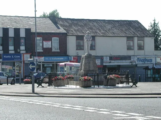
© Rob Pollard · Geograph · CC BY-SA 2.0
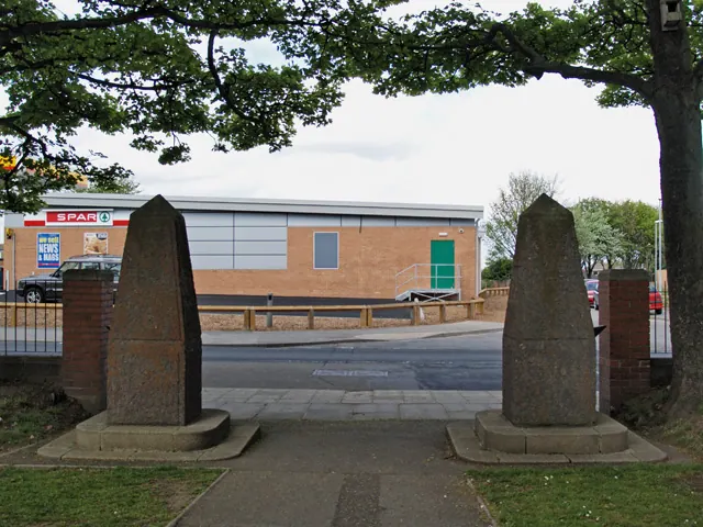
© Stephen McCulloch · Geograph · CC BY-SA 2.0
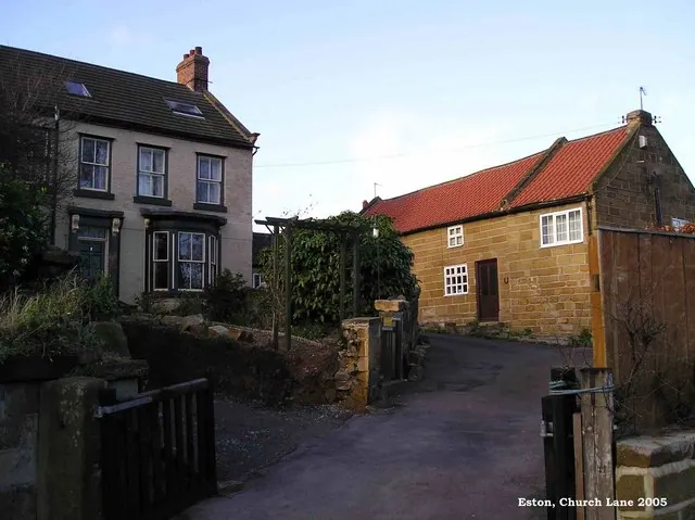
© Mike Guess · Geograph · CC BY-SA 2.0
Images © their respective photographers, licensed under CC BY-SA 2.0 and reused here with attribution. Photographs depict listed buildings, churches and monuments near this settlement and may show neighbouring villages.
Data derived from the Open Domesday project (opendomesday.org), based on the Domesday Book dataset compiled by Professor J.J.N. Palmer and team. The Domesday Book (1086) is in the public domain.
Found an inaccuracy? [email protected]