Eskdaleside in the Domesday Book (1086)
The 1086 Domesday survey records the settlement of Eskdaleside, entered under the hundred of Langbaurgh in Yorkshire.
Other Settlements in Langbaurgh
- Acklam
- Airy [Holme]
- Aislaby
- Arnodestorp
- Baldebi
- Barnaby
- Barwick
- Battersby
- Bergolbi
- Berguluesbi
- Blaten [Carr]
- Borrowby
- Breck
- Brotton
The Meaning of the Name
The origin of the name Eskdaleside is not securely established from its modern form alone; like many settlement names in the North it likely combines an Old English or Old Norse personal name with a landscape term.
Remarkably, the name has changed little since 1086, when the Domesday scribes wrote it as Eskdaleside.
Listed Buildings Near Eskdaleside
Historic England records 30 listed buildings within about a mile of Eskdaleside. Listing protects structures of special architectural or historic interest, graded I (exceptional), II* (particularly important) and II.
Grade II*
- St Hildas Preparatory School - 0.7 km
Grade II
- Carr View Hall - 0.12 km
- Garden Wall and Gate Piers Approximately 6 Metres West of the Old Vicarage - 0.18 km
- The Old Vicarage - 0.2 km
- Midge Hall - 0.25 km
- Esk Hall - 0.33 km
- Milepost Approximately 10 Metres West of Number 137 - 0.34 km
- Field House - 0.39 km
- Eslet House Fernlea - 0.43 km
- Coates Monument in North West Corner of Churchyard of St John the Evangelist - 0.55 km
- Gate Piers and Part of Churchyard Wall to Church of St John the Evangelist - 0.57 km
- Church of St John the Evangelist - 0.57 km
- Lowdale Hall - 0.6 km
- 2, Coach Road - 0.66 km
- Chapel of St John - 0.68 km
- Sundial 8 Metres to South of South Front Centre, St Hilda’s Preparatory School - 0.69 km
- Groves Hall - 0.69 km
- The Plough Inn - 0.75 km
- Rosedale Cottage - 0.77 km
- Thistle Grove Farmhouse and Barn Extension - 0.8 km
- Esk House and Attached Outbuilding - 0.8 km
- The Salon - 0.82 km
- Gardener’s Cottage, Hillside Cottage and White Rose Cottage - 0.84 km
- Garden Wall and Gate Piers Approximately 8 Metres South of Carr End Farmhouse - 0.85 km
…and 6 more listed structures in the area.
Eskdaleside Today
Today Eskdaleside lies within the administrative area of Scarborough, and the settlement recorded a population of 2,256 at the 2021 census. Nine and a half centuries separate that figure from the small rural community the Domesday survey recorded here in 1086.
Read more about modern Eskdaleside cum Ugglebarnby on Wikipedia .
Nearby Domesday Settlements
Other places recorded in the 1086 survey within a few miles:
- Ugglebarnby - 1.0 km E
- Aislaby - 1.4 km NW
- Sneaton - 3.0 km E
- Newholm - 3.0 km N
- High Stakesby - 3.6 km NE
- Dunsley - 4.1 km N
Heritage Around Eskdale[side]
Photographs of churches, listed buildings and monuments in the vicinity, contributed by volunteers to the Geograph project and reused here under a Creative Commons licence.
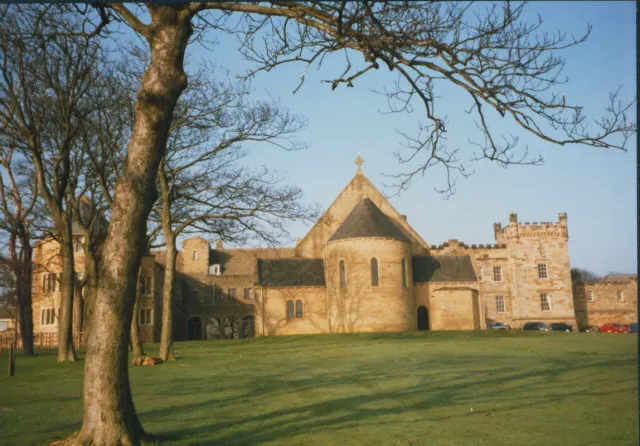
© Stephen Craven · Geograph · CC BY-SA 2.0
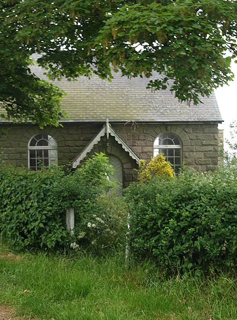
© Stephen McCulloch · Geograph · CC BY-SA 2.0
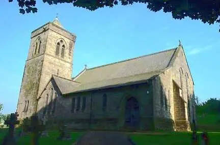
© Bill Henderson · Geograph · CC BY-SA 2.0
Images © their respective photographers, licensed under CC BY-SA 2.0 and reused here with attribution. Photographs depict listed buildings, churches and monuments near this settlement and may show neighbouring villages.
Data derived from the Open Domesday project (opendomesday.org), based on the Domesday Book dataset compiled by Professor J.J.N. Palmer and team. The Domesday Book (1086) is in the public domain.
Found an inaccuracy? [email protected]