Eshingtons in the Domesday Book (1086)
Eshingtons appears in the Domesday Book of 1086, entered under the hundred of Land of Count Alan in Yorkshire.
Other Settlements in Land of Count Alan
- Achebi
- Agglethorpe
- Ainderby [Mires]
- Ainderby [Quernhow]
- Aiskew
- Aldbrough
- Allerthorpe [Hall]
- Ascam
- Ascham
- Asebi
- Aske [Hall]
- Askrigg
- Aysgarth
- Baldersby
The Meaning of the Name
The origin of the name Eshingtons is not securely established from its modern form alone; like many settlement names in the North it likely combines an Old English or Old Norse personal name with a landscape term.
Remarkably, the name has changed little since 1086, when the Domesday scribes wrote it as Eshingtons.
Listed Buildings Near Eshingtons
Historic England records 27 listed buildings within about a mile of Eshingtons. Listing protects structures of special architectural or historic interest, graded I (exceptional), II* (particularly important) and II.
Grade II*
- Church of Saint Andrew - 1.13 km
Grade II
- Grange Farm Cottage - 0.45 km
- Stables at Flanders Hall - 0.45 km
- Flanders Hall - 0.47 km
- Burton Bridge - 0.47 km
- The Coach House and Stable Cottage to the North East of the Grange - 0.48 km
- Wall, Railings, Gates and Gate Piers Approximately 10 Metres East of Flanders Hall - 0.48 km
- The Grange - 0.54 km
- Ryder’s Farmhouse - 0.61 km
- West End Cottage and Inglenook Cottage - 0.74 km
- Galloway House - 0.8 km
- Obelisk - 0.84 km
- Stocks - 0.84 km
- 1 and 2 Black Bull Cottages - 0.87 km
- Wensleydale Cottage and Attached Outbuilding - 0.87 km
- Old Hall Stables - 0.96 km
- Milestone, Heads Bank, Aysgarth - 0.96 km
- Sorrelsykes House - 1.1 km
- Boundary Stone Approximately 6 Metres North of Tomgill Bridge - 1.11 km
- Cottages Approximately 10 Metres South-west of Yore Mill - 1.21 km
- Yore Mill - 1.22 km
- White House - 1.22 km
- Pepper Pot Folly, Approximately 150 Metres to East of Sorrelsykes House - 1.23 km
- Yore Bridge - 1.25 km
…and 3 more listed structures in the area.
Eshingtons Today
Today Eshingtons lies within the administrative area of Burton-cum-Walden, and the settlement recorded a population of 303 at recent figures. Nine and a half centuries separate that figure from the small rural community the Domesday survey recorded here in 1086.
Read more about modern West Burton on Wikipedia .
Nearby Domesday Settlements
Other places recorded in the 1086 survey within a few miles:
- West Burton - 1.0 km S
- Thoralby - 1.4 km SW
- Aysgarth - 1.4 km NW
- Carperby - 2.2 km NW
- West Bolton - 3.2 km N
- Crooksby Barn - 3.6 km SW
Heritage Around Eshingtons
Photographs of churches, listed buildings and monuments in the vicinity, contributed by volunteers to the Geograph project and reused here under a Creative Commons licence.
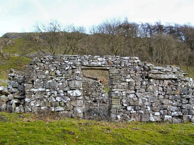
© Arnold Price · Geograph · CC BY-SA 2.0
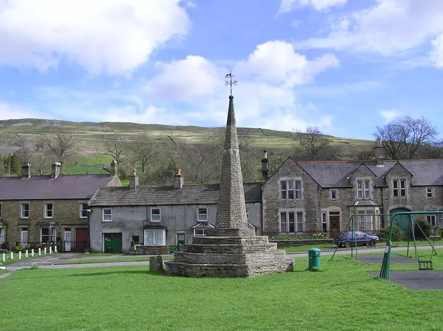
© Arnold Price · Geograph · CC BY-SA 2.0
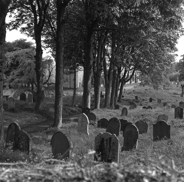
© Dr Neil Clifton · Geograph · CC BY-SA 2.0
Images © their respective photographers, licensed under CC BY-SA 2.0 and reused here with attribution. Photographs depict listed buildings, churches and monuments near this settlement and may show neighbouring villages.
Location
54.2830°N, -1.9770°W · Land of Count Alan hundred, Yorkshire
View larger map on OpenStreetMap →Data derived from the Open Domesday project (opendomesday.org), based on the Domesday Book dataset compiled by Professor J.J.N. Palmer and team. The Domesday Book (1086) is in the public domain.
Found an inaccuracy? [email protected]