Escrick in the Domesday Book (1086)
The 1086 Domesday survey records the settlement of Escrick, entered under the hundred of Pocklington in Yorkshire.
Other Settlements in Pocklington
- Allerthorpe
- Barmby [Moor]
- Belthorpe
- Bielby
- Bolton
- Burnby
- Chetelstorp
- Deighton
- Elvington
- Everingham
- Fangfoss
- Gowthorpe
- Greenwick
- Hayton
The Meaning of the Name
The origin of the name Escrick is not securely established from its modern form alone; like many settlement names in the North it likely combines an Old English or Old Norse personal name with a landscape term.
Remarkably, the name has changed little since 1086, when the Domesday scribes wrote it as Escrick.
Listed Buildings Near Escrick
Historic England records 16 listed buildings within about a mile of Escrick. Listing protects structures of special architectural or historic interest, graded I (exceptional), II* (particularly important) and II.
Grade II*
- Former Coach House and Stables Adjoining Escrick Park to Rear Right - 0.42 km
- Escrick Park - 0.46 km
- Church of St Helen - 1.03 km
Grade II
- Wheldrake Lodge - 0.14 km
- Gates, Piers and Railings at Wheldrake Lodge - 0.15 km
- Group of Three Garden Urns Approximately Ten Metres to South of Escrick House - 0.43 km
- Garden Urn Approximately Six Metres to South of Escrick Park - 0.46 km
- Garden Urn Approximately Twelve Metres to South of Escrick Park - 0.46 km
- Piers and Gate Approximately Twenty Metres to North of House - 0.47 km
- Gates and Railings Approximately Forty Five Metres to North of House - 0.47 km
- Urn in Courtyard of Escrick Park - 0.47 km
- Sundial Approximately Three Metres to West of Escrick Park - 0.48 km
- Pair of Garden Urns Approximately Fifteen Metres to South West of Escrick Park - 0.52 km
- Headmaster’s House - 0.65 km
- Jubilee Fountain - 0.81 km
- The Parsonage Country House Hotel - 0.93 km
Escrick Today
Today Escrick lies within the administrative area of Selby, and the settlement recorded a population of 1,064 at the 2021 census. Nine and a half centuries separate that figure from the small rural community the Domesday survey recorded here in 1086.
Read more about modern Escrick on Wikipedia .
Nearby Domesday Settlements
Other places recorded in the 1086 survey within a few miles:
- Chetelstorp - 1.0 km W
- Deighton - 2.2 km NW
- Moreby Hall - 4.1 km W
- Stillingfleet - 4.5 km SW
- Naburn - 5.0 km NW
- Skipwith - 5.0 km SE
Heritage Around Escrick
Photographs of churches, listed buildings and monuments in the vicinity, contributed by volunteers to the Geograph project and reused here under a Creative Commons licence.
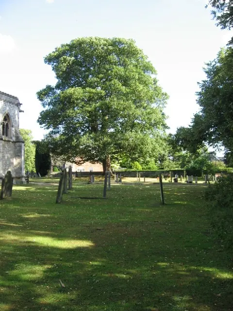
© Roger Gilbertson · Geograph · CC BY-SA 2.0
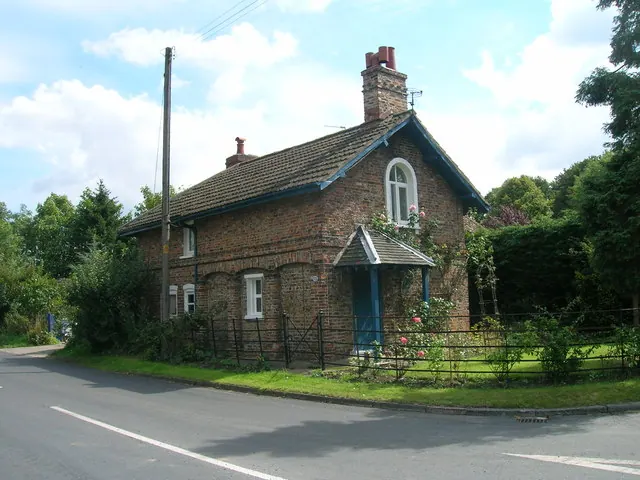
© JThomas · Geograph · CC BY-SA 2.0
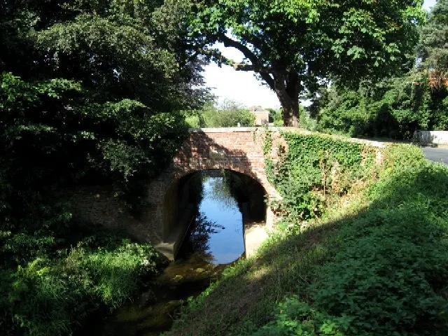
© Roger Gilbertson · Geograph · CC BY-SA 2.0
Images © their respective photographers, licensed under CC BY-SA 2.0 and reused here with attribution. Photographs depict listed buildings, churches and monuments near this settlement and may show neighbouring villages.
Data derived from the Open Domesday project (opendomesday.org), based on the Domesday Book dataset compiled by Professor J.J.N. Palmer and team. The Domesday Book (1086) is in the public domain.
Found an inaccuracy? [email protected]