Eryholme in the Domesday Book (1086)
The 1086 Domesday survey records the settlement of Eryholme, entered under the hundred of Land of Count Alan in Yorkshire.
Other Settlements in Land of Count Alan
- Achebi
- Agglethorpe
- Ainderby [Mires]
- Ainderby [Quernhow]
- Aiskew
- Aldbrough
- Allerthorpe [Hall]
- Ascam
- Ascham
- Asebi
- Aske [Hall]
- Askrigg
- Aysgarth
- Baldersby
The Meaning of the Name
The name Eryholme is of Scandinavian origin. Its final element derives from the Old Norse word holmr, an island or patch of raised ground in marsh. The first element is most likely a personal name or an early descriptive term, now difficult to recover with certainty. Taken together the name probably meant something close to ‘a island’.
Names of this type are a fingerprint of Scandinavian settlement: they cluster across the old Danelaw, where Norse-speaking settlers renamed or founded villages from the late 9th century onward.
Remarkably, the name has changed little since 1086, when the Domesday scribes wrote it as Eryholme.
Listed Buildings Near Eryholme
Historic England records 13 listed buildings within about a mile of Eryholme. Listing protects structures of special architectural or historic interest, graded I (exceptional), II* (particularly important) and II.
Grade II*
- Church of St Mary the Virgin - 0.71 km
Grade II
- Neasham Hall Bridge - 0.14 km
- Pigeon Cote About 120 Metres South East of Neasham Hall - 0.61 km
- Neasham Abbey - 0.64 km
- Cliffe Cottage - 0.69 km
- Newbus Arms Hotel - 0.71 km
- High Holme With Coach House/stables on Right Return - 0.72 km
- Neasham Grange Farmhouse - 0.75 km
- Pump and Tank Approximately 10 Metres North East of Former School - 0.79 km
- Public Shelter About 8 Metres South of Numbers 1 and 3 Neasham Hill - 0.99 km
- 1 and 3, Neasham Hill - 1.0 km
- Carved Stone Fragment, 25 Metres South of Neasham Hill - 1.05 km
- Neasham Hill - 1.07 km
Eryholme Today
Today Eryholme lies within the administrative area of Richmondshire, and the settlement recorded a population of 69 at the 2021 census. Nine and a half centuries separate that figure from the small rural community the Domesday survey recorded here in 1086.
Read more about modern Eryholme on Wikipedia .
Nearby Domesday Settlements
Other places recorded in the 1086 survey within a few miles:
- Low Hail - 2.0 km W
- Over Dinsdale Grange - 2.8 km NE
- Girsby - 3.2 km E
- Croft - 4.0 km W
- Torp - 4.0 km W
- Great Smeaton - 5.4 km S
Heritage Around Eryholme
Photographs of churches, listed buildings and monuments in the vicinity, contributed by volunteers to the Geograph project and reused here under a Creative Commons licence.
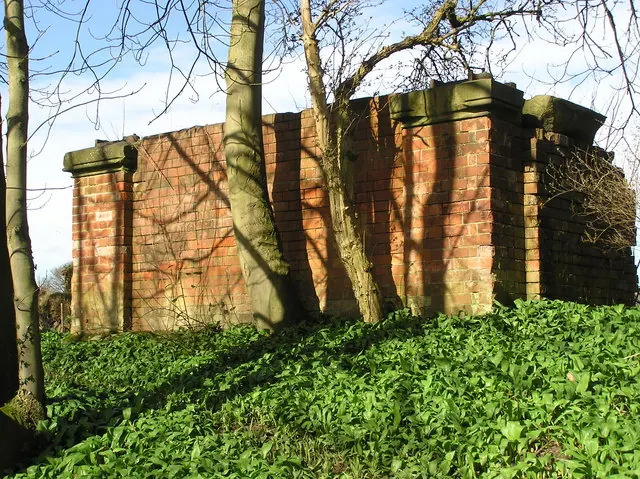
© Hugh Mortimer · Geograph · CC BY-SA 2.0
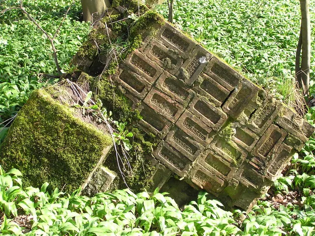
© Hugh Mortimer · Geograph · CC BY-SA 2.0
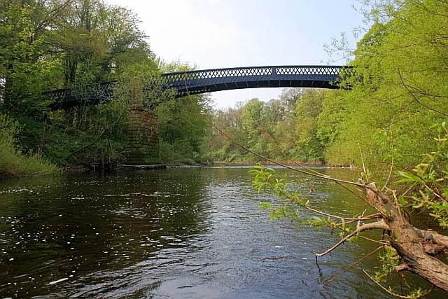
© Mick Garratt · Geograph · CC BY-SA 2.0
Images © their respective photographers, licensed under CC BY-SA 2.0 and reused here with attribution. Photographs depict listed buildings, churches and monuments near this settlement and may show neighbouring villages.
Location
54.4797°N, -1.4984°W · Land of Count Alan hundred, Yorkshire
View larger map on OpenStreetMap →Data derived from the Open Domesday project (opendomesday.org), based on the Domesday Book dataset compiled by Professor J.J.N. Palmer and team. The Domesday Book (1086) is in the public domain.
Found an inaccuracy? [email protected]