Embsay in the Domesday Book (1086)
The 1086 Domesday survey records the settlement of Embsay, entered under the hundred of Craven in Yorkshire.
Other Settlements in Craven
- Addingham
- Airton
- Anley
- Appletreewick
- Arncliffe
- Arnford
- Barnoldswick
- Bashall [Eaves]
- Battersby [Barn]
- Beamsley
- Birkby [Hall]
- Bogeuurde
- Bolton [Abbey]
- Bolton [by Bowland]
The Meaning of the Name
The origin of the name Embsay is not securely established from its modern form alone; like many settlement names in the North it likely combines an Old English or Old Norse personal name with a landscape term.
Remarkably, the name has changed little since 1086, when the Domesday scribes wrote it as Embsay.
Listed Buildings Near Embsay
Historic England records 26 listed buildings within about a mile of Embsay. Listing protects structures of special architectural or historic interest, graded I (exceptional), II* (particularly important) and II.
Grade II
- Green Field House - 0.48 km
- Green Bottom - 0.51 km
- Milestone at About 1 Kilometre From Parish Boundary - 0.66 km
- War Memorial - 0.68 km
- Church of Saint Mary the Virgin - 0.76 km
- Mounting Block in Front of Elm Tree Inn - 0.77 km
- Elm Tree Inn - 0.77 km
- K6 Telephone Kiosk - 0.79 km
- High Skibeden Farmhouse - 0.83 km
- Embsay Station Signal Box - 0.84 km
- Embsay Station Weighbridge Office - 0.87 km
- Wall to Field - 0.89 km
- Embsay Station Cabmens Shelter - 0.93 km
- 12, Barden Road - 0.94 km
- Embsay Station Passenger Building - 0.95 km
- 14, Barden Road - 0.95 km
- Low Skibeden Farmhouse - 0.97 km
- 22-24, Barden Road - 0.97 km
- Old Engine House - 0.98 km
- The Garth - 0.98 km
- Embsay Kirk - 1.0 km
- Dale Head Farmhouse - 1.02 km
- K6 Telephone Kiosk - 1.02 km
- Eastby Hall and Garden Entrance - 1.08 km
…and 2 more listed structures in the area.
Embsay Today
Today Embsay lies within the administrative area of Embsay with Eastby, and the settlement recorded a population of 1,758 at recent figures. Nine and a half centuries separate that figure from the small rural community the Domesday survey recorded here in 1086.
Read more about modern Embsay on Wikipedia .
Nearby Domesday Settlements
Other places recorded in the 1086 survey within a few miles:
- High and Low Skibeden - 1.0 km S
- Draughton - 2.2 km SE
- Halton East - 3.0 km E
- Skipton - 3.6 km SW
- Low Snaygill - 4.5 km SW
- Thorlby - 5.1 km W
Heritage Around Embsay
Photographs of churches, listed buildings and monuments in the vicinity, contributed by volunteers to the Geograph project and reused here under a Creative Commons licence.
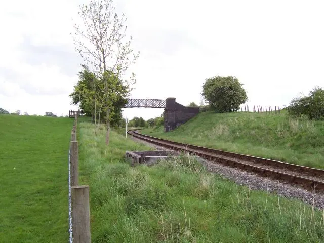
© Joe Regan · Geograph · CC BY-SA 2.0
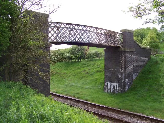
© Joe Regan · Geograph · CC BY-SA 2.0
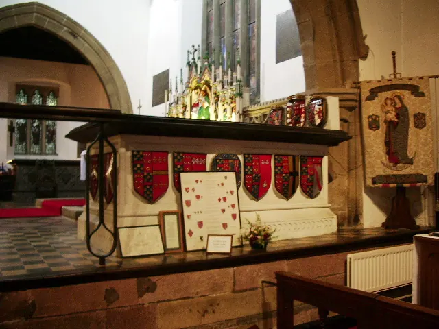
© Alexander P Kapp · Geograph · CC BY-SA 2.0
Images © their respective photographers, licensed under CC BY-SA 2.0 and reused here with attribution. Photographs depict listed buildings, churches and monuments near this settlement and may show neighbouring villages.
Data derived from the Open Domesday project (opendomesday.org), based on the Domesday Book dataset compiled by Professor J.J.N. Palmer and team. The Domesday Book (1086) is in the public domain.
Found an inaccuracy? [email protected]