Elvington in the Domesday Book (1086)
The settlement of Elvington is recorded in William I’s Domesday survey of 1086, entered under the hundred of Pocklington in Yorkshire.
Other Settlements in Pocklington
- Allerthorpe
- Barmby [Moor]
- Belthorpe
- Bielby
- Bolton
- Burnby
- Chetelstorp
- Deighton
- Escrick
- Everingham
- Fangfoss
- Gowthorpe
- Greenwick
- Hayton
The Meaning of the Name
The name Elvington is of Anglo-Saxon origin. Its final element derives from the Old English word tūn, a farmstead or village. The first element is most likely a personal name or an early descriptive term, now difficult to recover with certainty. Taken together the name probably meant something close to ‘a farmstead’.
Remarkably, the name has changed little since 1086, when the Domesday scribes wrote it as Elvington.
Listed Buildings Near Elvington
Historic England records 18 listed buildings within about a mile of Elvington. Listing protects structures of special architectural or historic interest, graded I (exceptional), II* (particularly important) and II.
Grade I
- Church of Saint Michael and All Angels - 0.17 km
Grade II*
- Sutton Bridge - 0.23 km
- Elvington Hall - 0.34 km
Grade II
- Manor Farmhouse - 0.22 km
- The Old Rectory Hotel - 0.24 km
- Saint Vincent Arms - 0.34 km
- Brook House - 0.47 km
- Holy Trinity Church - 0.49 km
- The Cottage - 0.53 km
- The Old Rectory - 0.56 km
- K6 Telephone Kiosk Near the Grey Horse Public House - 0.61 km
- Roxby Farmhouse - 0.66 km
- Belvoir House - 0.67 km
- Wheelwright Cottage - 0.71 km
- Orchard Cottage - 0.76 km
- The Grange - 0.81 km
- Carthouse and Stables to the Grange - 0.84 km
- White House - 1.28 km
Scheduled Monuments Near Elvington
Scheduled monuments are nationally important archaeological sites given legal protection. 1 lies within roughly a mile of Elvington:
- Giant’s Hill motte - 1.23 km
Elvington Today
Today Elvington lies within the administrative area of City of York, and the settlement recorded a population of 1,270 at the 2021 census. Nine and a half centuries separate that figure from the small rural community the Domesday survey recorded here in 1086.
Read more about modern Elvington on Wikipedia .
Nearby Domesday Settlements
Other places recorded in the 1086 survey within a few miles:
- Sutton upon Derwent - 0.0 km N
- Chetelestorp - 3.2 km S
- Wheldrake - 3.6 km SW
- East Cottingwith - 5.0 km S
- Langwith Lodge - 5.1 km W
- Scoreby Manor - 5.1 km N
Heritage Around Elvington
Photographs of churches, listed buildings and monuments in the vicinity, contributed by volunteers to the Geograph project and reused here under a Creative Commons licence.
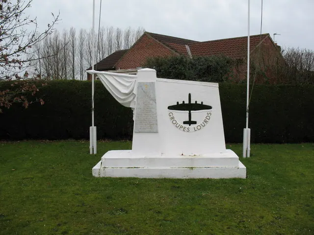
© Gordon Hatton · Geograph · CC BY-SA 2.0
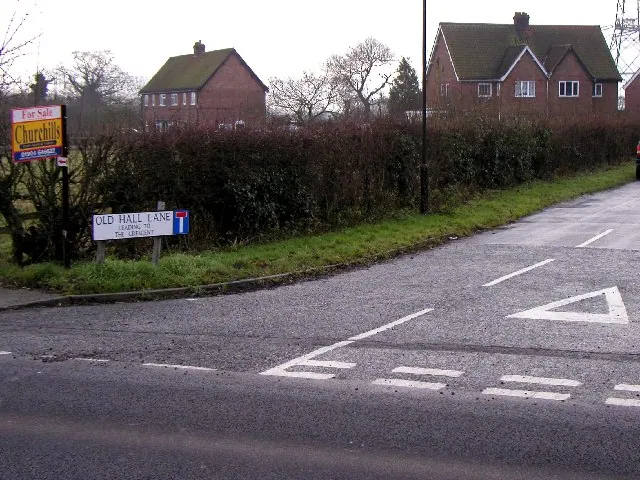
© Andy Beecroft · Geograph · CC BY-SA 2.0
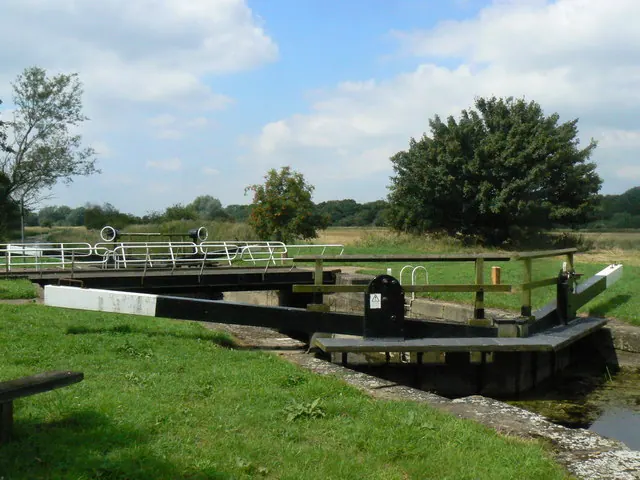
© bernard bradley · Geograph · CC BY-SA 2.0
Images © their respective photographers, licensed under CC BY-SA 2.0 and reused here with attribution. Photographs depict listed buildings, churches and monuments near this settlement and may show neighbouring villages.
Data derived from the Open Domesday project (opendomesday.org), based on the Domesday Book dataset compiled by Professor J.J.N. Palmer and team. The Domesday Book (1086) is in the public domain.
Found an inaccuracy? [email protected]