Elton in the Domesday Book (1086)
Elton is named in the Domesday Book, compiled by Norman commissioners in 1086, entered under the hundred of Hamston in Derbyshire.
Other Settlements in Hamston
- Alsop [-en-le-Dale]
- Ashbourne
- Atlow
- Ballidon
- Bonsall
- Bradbourne
- Brassington
- Broadlowash
- Callow
- Carsington
- Cowley
- Cromford
- Hanson [Grange]
- Hartington
The Meaning of the Name
The name Elton is of Anglo-Saxon origin. Its final element derives from the Old English word tūn, a farmstead or village. The first element is most likely a personal name or an early descriptive term, now difficult to recover with certainty. Taken together the name probably meant something close to ‘a farmstead’.
Remarkably, the name has changed little since 1086, when the Domesday scribes wrote it as Elton.
Listed Buildings Near Elton
Historic England records 21 listed buildings within about a mile of Elton. Listing protects structures of special architectural or historic interest, graded I (exceptional), II* (particularly important) and II.
Grade II
- Meadowside - 0.31 km
- Greengate Farmhouse and Greengate Cottage - 0.57 km
- Elton Old Hall - 0.58 km
- Homestead Farmhouse and Homestead Cottage - 0.59 km
- Cottage Adjoining Homestead Farm Cottage - 0.59 km
- Milestone 150 Metres South West of Brimsbury Well - 0.6 km
- Homlea Cottage and ‘The Cottage’ - 0.62 km
- Red Lion Cottage - 0.62 km
- Baul Cottage - 0.63 km
- The Hurst - 0.64 km
- Church of All Saints - 0.64 km
- Duke of York Inn - 0.67 km
- Stables to the West of the Duke of York Inn - 0.68 km
- Holmedene Farmhouse - 0.7 km
- 1 and 2 Rock Cottage - 0.74 km
- Elton House Farmhouse - 0.75 km
- Cratcliff Cottage - 0.82 km
- Cliff Farmhouse - 1.03 km
- Milepost 300 Yards South of the Junction of New Road and Chadwick Hill - 1.12 km
- Church of the Holy Name of Jesus, St Michael and All Angels - 1.17 km
- Druid Inn - 1.25 km
Scheduled Monuments Near Elton
Scheduled monuments are nationally important archaeological sites given legal protection. 6 lie within roughly a mile of Elton:
- Cratcliff Rocks hermitage - 0.89 km
- Cratcliff Rocks defended settlement - 0.92 km
- Harthill Moor bowl barrow - 1.15 km
- Nine Stone Close small stone circle - 1.18 km
- Rainslow Scrins 470m south west of Leadmines Farm - 1.34 km
- Castle Ring defended settlement - 1.47 km
Elton Today
Today Elton lies within the administrative area of Derbyshire Dales, and the settlement recorded a population of 372 at the 2021 census. Nine and a half centuries separate that figure from the small rural community the Domesday survey recorded here in 1086.
Read more about modern Elton on Wikipedia .
Nearby Domesday Settlements
Other places recorded in the 1086 survey within a few miles:
Heritage Around Elton
Photographs of churches, listed buildings and monuments in the vicinity, contributed by volunteers to the Geograph project and reused here under a Creative Commons licence.
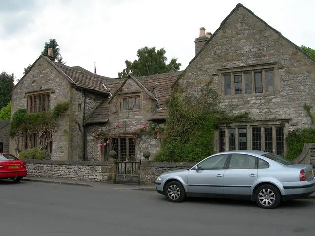
© DAVID M GOODWIN · Geograph · CC BY-SA 2.0
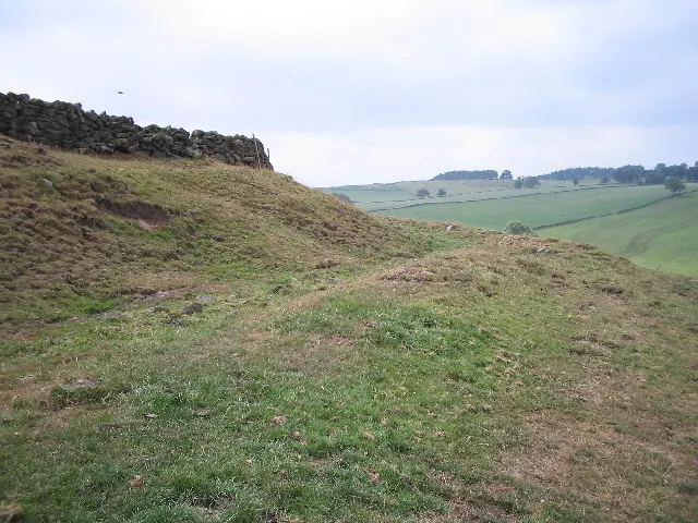
© Mark Kelly · Geograph · CC BY-SA 2.0
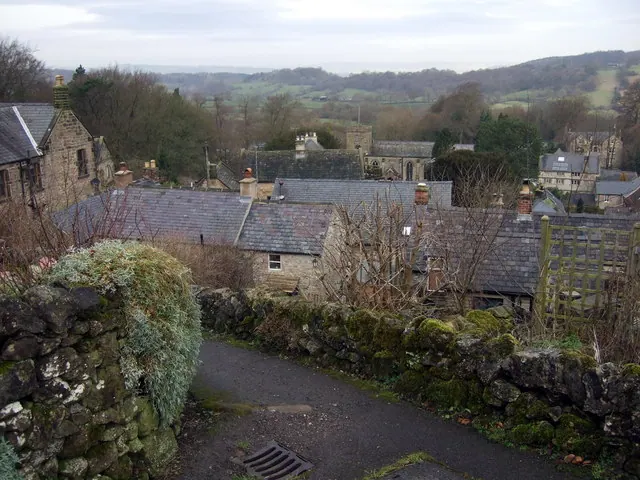
© Natasha Ceridwen de Chroustchoff · Geograph · CC BY-SA 2.0
Images © their respective photographers, licensed under CC BY-SA 2.0 and reused here with attribution. Photographs depict listed buildings, churches and monuments near this settlement and may show neighbouring villages.
Data derived from the Open Domesday project (opendomesday.org), based on the Domesday Book dataset compiled by Professor J.J.N. Palmer and team. The Domesday Book (1086) is in the public domain.
Found an inaccuracy? [email protected]