Elslack in the Domesday Book (1086)
The 1086 Domesday survey records the settlement of Elslack, entered under the hundred of Craven in Yorkshire.
Other Settlements in Craven
- Addingham
- Airton
- Anley
- Appletreewick
- Arncliffe
- Arnford
- Barnoldswick
- Bashall [Eaves]
- Battersby [Barn]
- Beamsley
- Birkby [Hall]
- Bogeuurde
- Bolton [Abbey]
- Bolton [by Bowland]
The Meaning of the Name
The origin of the name Elslack is not securely established from its modern form alone; like many settlement names in the North it likely combines an Old English or Old Norse personal name with a landscape term.
Remarkably, the name has changed little since 1086, when the Domesday scribes wrote it as Elslack.
Listed Buildings Near Elslack
Historic England records 12 listed buildings within about a mile of Elslack. Listing protects structures of special architectural or historic interest, graded I (exceptional), II* (particularly important) and II.
Grade I
- Church of All Saints - 0.9 km
Grade II*
Grade II
- Bridge Cottage - 0.47 km
- Elslack Grange - 0.62 km
- Great Barn at Elslack Hall Farm - 0.72 km
- Johnsons Gate Farmhouse and Attached Barn - 0.91 km
- Boundary Stone Circa 30 Metres South of Elslack Bridge at Ngr 9266 4967 - 0.94 km
- Tempest Arms Public House - 1.0 km
- Boundary Stone at Ngr 9461 4889 - 1.17 km
- Primrose House - 1.23 km
- Milestone Sd 9309 5061 by Entrance to Micklethorn Farm - 1.25 km
- Boundary Stone at Ngr 9467 4882 - 1.26 km
Scheduled Monuments Near Elslack
Scheduled monuments are nationally important archaeological sites given legal protection. 1 lies within roughly a mile of Elslack:
- Burwen Castle Roman forts - 1.12 km
Elslack Today
Today Elslack lies within the administrative area of Craven, and the settlement recorded a population of 87 at the 2021 census. Nine and a half centuries separate that figure from the small rural community the Domesday survey recorded here in 1086.
Read more about modern Elslack on Wikipedia .
Nearby Domesday Settlements
Other places recorded in the 1086 survey within a few miles:
- Broughton - 2.2 km NE
- Thornton in Craven - 3.2 km W
- Carleton - 4.0 km E
- Gargrave - 4.0 km N
- East and West Marton - 4.1 km W
- Thorlby - 4.2 km NE
Heritage Around Elslack
Photographs of churches, listed buildings and monuments in the vicinity, contributed by volunteers to the Geograph project and reused here under a Creative Commons licence.
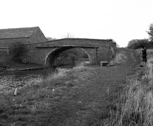
© Dr Neil Clifton · Geograph · CC BY-SA 2.0
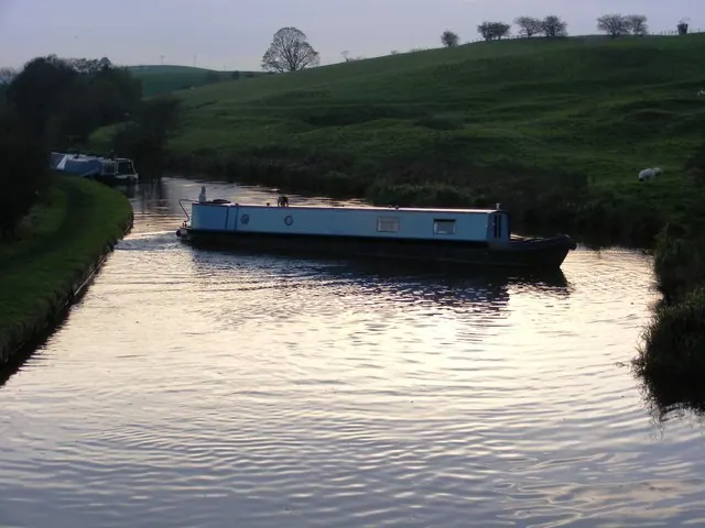
© Allan Friswell · Geograph · CC BY-SA 2.0
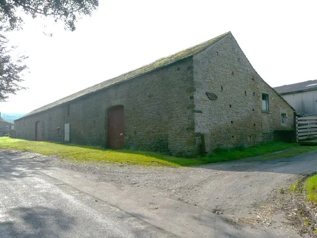
© Tony Mercer · Geograph · CC BY-SA 2.0
Images © their respective photographers, licensed under CC BY-SA 2.0 and reused here with attribution. Photographs depict listed buildings, churches and monuments near this settlement and may show neighbouring villages.
Data derived from the Open Domesday project (opendomesday.org), based on the Domesday Book dataset compiled by Professor J.J.N. Palmer and team. The Domesday Book (1086) is in the public domain.
Found an inaccuracy? [email protected]