Ellerton on Swale in the Domesday Book (1086)
Ellerton on Swale appears in the Domesday Book of 1086, entered under the hundred of Land of Count Alan in Yorkshire.
Other Settlements in Land of Count Alan
- Achebi
- Agglethorpe
- Ainderby [Mires]
- Ainderby [Quernhow]
- Aiskew
- Aldbrough
- Allerthorpe [Hall]
- Ascam
- Ascham
- Asebi
- Aske [Hall]
- Askrigg
- Aysgarth
- Baldersby
The Meaning of the Name
The name Ellerton on Swale is of Anglo-Saxon origin. Its final element derives from the Old English word tūn, a farmstead or village. The first element is most likely a personal name or an early descriptive term, now difficult to recover with certainty. Taken together the name probably meant something close to ‘a farmstead’.
Remarkably, the name has changed little since 1086, when the Domesday scribes wrote it as Ellerton on Swale.
Listed Buildings Near Ellerton on Swale
Historic England records 10 listed buildings within about a mile of Ellerton on Swale. Listing protects structures of special architectural or historic interest, graded I (exceptional), II* (particularly important) and II.
Grade II
- Manor House - 0.22 km
- Manor Cottages - 0.23 km
- Building 54 (Watch Office With Tower) - 1.09 km
- Pair of Outbuildings Approximately Five Metres to North of Oran House - 1.13 km
- Former Laundry Approximately Ten Metres North West of Oran House - 1.14 km
- Oran House - 1.15 km
- Building 46 (Station Headquarters) - 1.17 km
- Building 124 (Operations Block) - 1.18 km
- Barn With Stables and Oran Cottages Numbers One, Two and Four - 1.18 km
- Building 31 (Officers’ Mess and Quarters) - 1.22 km
Scheduled Monuments Near Ellerton on Swale
Scheduled monuments are nationally important archaeological sites given legal protection. 3 lie within roughly a mile of Ellerton on Swale:
- Castle Hills medieval motte and bailey castle, and 20th century airfield defences, 700m north east of Oran House - 0.44 km
- World War II fighter pens and associated defences at former RAF Catterick, 120m south and 340m north east of Oran House - 1.15 km
- Bainesse Roman roadside settlement and Anglian cemetery - 1.57 km
Ellerton on Swale Today
Today Ellerton on Swale lies within the administrative area of Richmondshire, and the settlement recorded a population of 120 at the 2021 census. Nine and a half centuries separate that figure from the small rural community the Domesday survey recorded here in 1086.
Read more about modern Ellerton-on-Swale on Wikipedia .
Nearby Domesday Settlements
Other places recorded in the 1086 survey within a few miles:
- Catterick - 1.0 km W
- Killerby Hall - 1.0 km S
- Bolton upon Swale - 2.0 km N
- East Appleton - 2.8 km SW
- Kiplin - 3.0 km E
- Neutone - 3.0 km N
Heritage Around Ellerton [on Swale]
Photographs of churches, listed buildings and monuments in the vicinity, contributed by volunteers to the Geograph project and reused here under a Creative Commons licence.
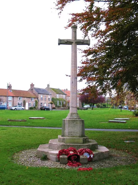
© Gordon Hatton · Geograph · CC BY-SA 2.0
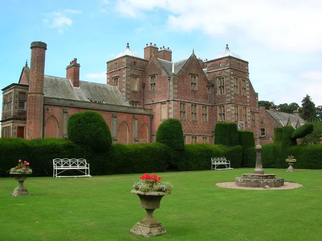
© DS Pugh · Geograph · CC BY-SA 2.0
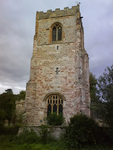
© Matthew Hatton · Geograph · CC BY-SA 2.0
Images © their respective photographers, licensed under CC BY-SA 2.0 and reused here with attribution. Photographs depict listed buildings, churches and monuments near this settlement and may show neighbouring villages.
Location
54.3722°N, -1.6074°W · Land of Count Alan hundred, Yorkshire
View larger map on OpenStreetMap →Data derived from the Open Domesday project (opendomesday.org), based on the Domesday Book dataset compiled by Professor J.J.N. Palmer and team. The Domesday Book (1086) is in the public domain.
Found an inaccuracy? [email protected]