Ellerburn in the Domesday Book (1086)
Ellerburn is named in the Domesday Book, compiled by Norman commissioners in 1086, entered under the hundred of Dic in Yorkshire.
Other Settlements in Dic
- Aislaby
- Allerston
- Appleton [le Moors]
- Aschelesmersc
- Aschilesmares
- Barton [le Street]
- Baschebi
- Baschesbi
- Brompton
- Burniston
- Burton [Dale]
- Cawthorn
- Cayton
- Chigogemers
The Meaning of the Name
The origin of the name Ellerburn is not securely established from its modern form alone; like many settlement names in the North it likely combines an Old English or Old Norse personal name with a landscape term.
Remarkably, the name has changed little since 1086, when the Domesday scribes wrote it as Ellerburn.
Listed Buildings Near Ellerburn
Historic England records 3 listed buildings within about a mile of Ellerburn. Listing protects structures of special architectural or historic interest, graded I (exceptional), II* (particularly important) and II.
Grade II*
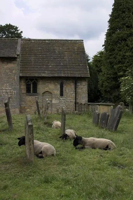
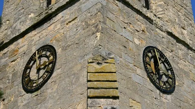
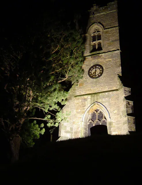
- Church of Saint Hilda - 0.53 km
Grade II
- Old Ellers and Attached Outbuilding - 0.5 km
- High Paper Mill Farmhouse and Attached Outbuildings - 0.61 km
Scheduled Monuments Near Ellerburn
Scheduled monuments are nationally important archaeological sites given legal protection. 8 lie within roughly a mile of Ellerburn:
- Prehistoric linear boundary in Ellerburn Wood, 370m north west of St Hilda’s Church - 0.63 km
- Round barrow 520m north west of St Hilda’s Church, Ellerburn - 0.87 km
- Round barrow 650m north west of St Hilda’s Church, Ellerburn - 0.98 km
- Rabbit type 570m south east of Pexton Moor Farm - 1.06 km
- Round cairn on Pexton Moor, 150m north east of Pexton Moor Farm - 1.12 km
- Two prehistoric linear boundaries with associated features, 680m ESE and 880m NNE of Pexton Moor Farm - 1.22 km
- Warrening enclosure 975m north east of High Paper Mill Farm - 1.36 km
- Warrening enclosure 1.08km north east of High Paper Mill Farm - 1.54 km
Ellerburn Today
Today Ellerburn lies within the administrative area of Thornton-le-Dale.
Read more about modern Ellerburn on Wikipedia .
Nearby Domesday Settlements
Other places recorded in the 1086 survey within a few miles:
- Farmanby - 1.4 km NE
- Chigogemers - 1.4 km SW
- Chigomersc - 1.4 km SW
- Ghigogesmersc - 1.4 km SW
- Kettlethorpe - 1.4 km SW
- Thornton Dale - 1.4 km SW
Heritage Around Ellerburn
Photographs of churches, listed buildings and monuments in the vicinity, contributed by volunteers to the Geograph project and reused here under a Creative Commons licence.
© Colin Grice · Geograph · CC BY-SA 2.0
© Alan Walker · Geograph · CC BY-SA 2.0
© Scott Robinson · Geograph · CC BY-SA 2.0
Images © their respective photographers, licensed under CC BY-SA 2.0 and reused here with attribution. Photographs depict listed buildings, churches and monuments near this settlement and may show neighbouring villages.
Data derived from the Open Domesday project (opendomesday.org), based on the Domesday Book dataset compiled by Professor J.J.N. Palmer and team. The Domesday Book (1086) is in the public domain.
Found an inaccuracy? [email protected]